19A Mcintire Rd New Gloucester, ME 04260
Estimated Value: $456,000 - $548,477
3
Beds
2
Baths
936
Sq Ft
$537/Sq Ft
Est. Value
About This Home
This home is located at 19A Mcintire Rd, New Gloucester, ME 04260 and is currently estimated at $502,869, approximately $537 per square foot. 19A Mcintire Rd is a home located in Cumberland County with nearby schools including Gray-New Gloucester High School.
Ownership History
Date
Name
Owned For
Owner Type
Purchase Details
Closed on
Jan 31, 2006
Sold by
Davis Annie E and Davis Jerald L
Bought by
Davis Christian M and Davis Angela M
Current Estimated Value
Create a Home Valuation Report for This Property
The Home Valuation Report is an in-depth analysis detailing your home's value as well as a comparison with similar homes in the area
Home Values in the Area
Average Home Value in this Area
Purchase History
| Date | Buyer | Sale Price | Title Company |
|---|---|---|---|
| Davis Christian M | -- | -- |
Source: Public Records
Tax History Compared to Growth
Tax History
| Year | Tax Paid | Tax Assessment Tax Assessment Total Assessment is a certain percentage of the fair market value that is determined by local assessors to be the total taxable value of land and additions on the property. | Land | Improvement |
|---|---|---|---|---|
| 2025 | $4,816 | $311,289 | $68,112 | $243,177 |
| 2024 | $4,635 | $311,289 | $68,112 | $243,177 |
| 2023 | $4,448 | $311,289 | $68,112 | $243,177 |
| 2022 | $4,296 | $311,289 | $68,112 | $243,177 |
| 2021 | $4,296 | $311,289 | $68,112 | $243,177 |
| 2020 | $4,249 | $311,289 | $68,112 | $243,177 |
| 2019 | $4,646 | $274,900 | $60,100 | $214,800 |
| 2018 | $4,343 | $274,900 | $60,100 | $214,800 |
| 2017 | $4,288 | $274,900 | $60,100 | $214,800 |
| 2016 | $4,041 | $274,900 | $60,100 | $214,800 |
| 2015 | $4,027 | $274,900 | $60,100 | $214,800 |
| 2014 | $3,782 | $260,800 | $60,100 | $200,700 |
| 2013 | $3,271 | $243,200 | $60,100 | $183,100 |
Source: Public Records
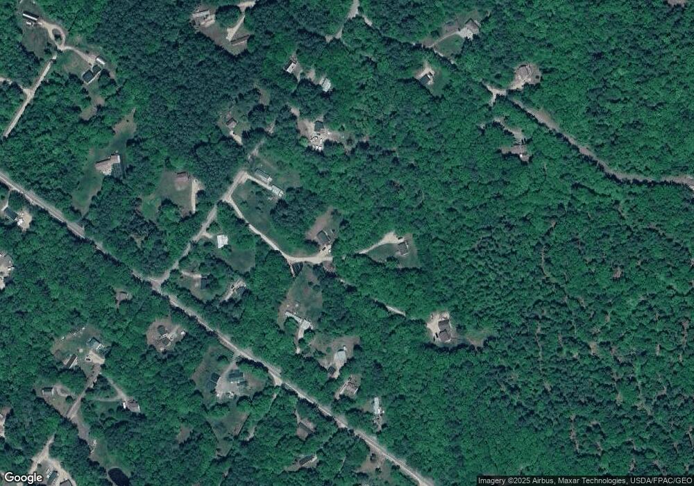
Map
Nearby Homes
- 155 & 151 Gloucester Hill Rd
- 110 Bennett Rd
- 86 Skips Way
- TBD Targett Rd
- 0 Mayall
- 2 Ethan Way
- 13 Mill Brook Rd Unit A
- 173 Weymouth Rd
- 2 Alling Dr
- 72 Shaw Brook Ln
- 194 Weymouth Rd
- 288 Shaker Rd
- 27 Callaway Dr Unit 27B
- 17 Callaway Dr Unit 17
- 25 Allen Rd
- 0 Colley Hill Rd
- 4 Wanda Ln
- 244 Allen Rd
- 026-01 Dow Ln
- 22 Gray Park