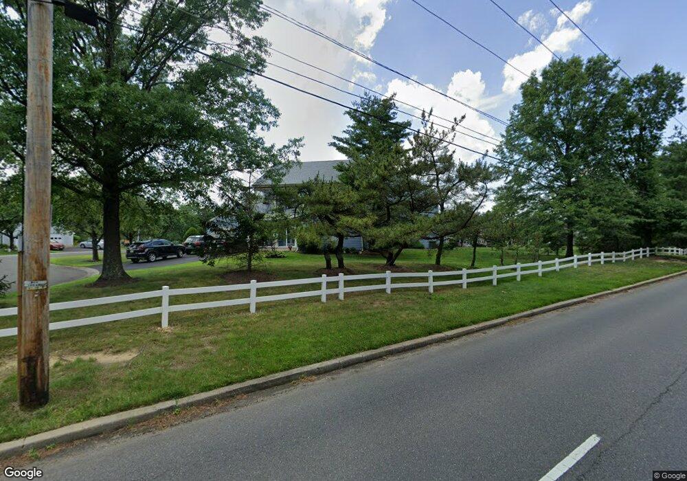
1E Truro Dr Monroe Township, NJ 08831
Estimated Value: $300,000 - $318,157
--
Bed
--
Bath
1,151
Sq Ft
$272/Sq Ft
Est. Value
About This Home
This home is located at 1E Truro Dr, Monroe Township, NJ 08831 and is currently estimated at $313,289, approximately $272 per square foot. 1E Truro Dr is a home located in Middlesex County with nearby schools including Oak Tree Elementary School, Monroe Township Middle School, and Monroe Township High School.
Ownership History
Date
Name
Owned For
Owner Type
Purchase Details
Closed on
Dec 23, 2022
Sold by
Rollins Patty L
Bought by
Negron William and Diaznegron Maria H
Current Estimated Value
Home Financials for this Owner
Home Financials are based on the most recent Mortgage that was taken out on this home.
Original Mortgage
$248,640
Outstanding Balance
$240,658
Interest Rate
6.58%
Mortgage Type
VA
Estimated Equity
$72,631
Purchase Details
Closed on
Jul 19, 2017
Sold by
Levine Marliyn and Ashendorf Jayne
Bought by
Rollins Patty L
Home Financials for this Owner
Home Financials are based on the most recent Mortgage that was taken out on this home.
Original Mortgage
$89,000
Interest Rate
3.9%
Mortgage Type
New Conventional
Create a Home Valuation Report for This Property
The Home Valuation Report is an in-depth analysis detailing your home's value as well as a comparison with similar homes in the area
Home Values in the Area
Average Home Value in this Area
Purchase History
| Date | Buyer | Sale Price | Title Company |
|---|---|---|---|
| Negron William | $240,000 | Vintage Title Services | |
| Negron William | $240,000 | Vintage Title Services | |
| Rollins Patty L | $139,000 | Elite Title Group Llc |
Source: Public Records
Mortgage History
| Date | Status | Borrower | Loan Amount |
|---|---|---|---|
| Open | Negron William | $248,640 | |
| Closed | Negron William | $248,640 | |
| Previous Owner | Rollins Patty L | $89,000 |
Source: Public Records
Tax History Compared to Growth
Tax History
| Year | Tax Paid | Tax Assessment Tax Assessment Total Assessment is a certain percentage of the fair market value that is determined by local assessors to be the total taxable value of land and additions on the property. | Land | Improvement |
|---|---|---|---|---|
| 2025 | $1,765 | $62,800 | $3,600 | $59,200 |
| 2024 | $1,704 | $62,800 | $3,600 | $59,200 |
| 2023 | $1,704 | $62,800 | $3,600 | $59,200 |
| 2022 | $1,675 | $62,800 | $3,600 | $59,200 |
| 2021 | $1,245 | $62,800 | $3,600 | $59,200 |
| 2020 | $1,669 | $62,800 | $3,600 | $59,200 |
| 2019 | $1,632 | $62,800 | $3,600 | $59,200 |
| 2018 | $1,619 | $62,800 | $3,600 | $59,200 |
| 2017 | $1,594 | $62,800 | $3,600 | $59,200 |
| 2016 | $1,570 | $62,800 | $3,600 | $59,200 |
| 2015 | $1,282 | $62,800 | $3,600 | $59,200 |
| 2014 | $1,231 | $62,800 | $3,600 | $59,200 |
Source: Public Records
Map
Nearby Homes
- 10 Glastonbury Dr Unit C
- 1 Rothwell Dr
- 29 Hillsborough Dr Unit B
- 9 Melborn Dr Unit 9B
- 29B Hillsborough Dr
- 14 Dorchester Dr
- 26 Daniel Webster Ave Unit D
- 57 Yorkshire Dr Unit 57B
- 62 Yorkshire Dr Unit A
- 20C Dorchester Dr
- 20 Dorchester Dr
- 8A Ethan Allen Dr Unit A
- 14 John Paul Jones Dr Unit B
- 8 John Paul Jones Dr
- 14B John Paul Jones Dr Unit B
- 10B Andrew Johnson Dr Unit D
- 4C Rutherford Hayes Dr
- 5 Wingate Ct Unit 5D
- 18 Kingston Ct
- 19 Wellington Place