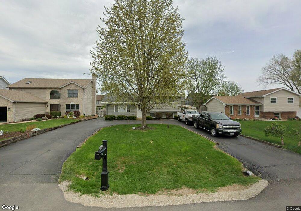
1N155 Darling St Carol Stream, IL 60188
South Carol Stream NeighborhoodEstimated Value: $237,000 - $313,000
Studio
--
Bath
1,040
Sq Ft
$277/Sq Ft
Est. Value
About This Home
This home is located at 1N155 Darling St, Carol Stream, IL 60188 and is currently estimated at $287,634, approximately $276 per square foot. 1N155 Darling St is a home located in DuPage County with nearby schools including Washington Elementary School, Monroe Middle School, and Wheaton North High School.
Ownership History
Date
Name
Owned For
Owner Type
Purchase Details
Closed on
Sep 26, 2003
Sold by
Mccrary Michael J and Mccrary Philomena
Bought by
Lynn David Iii Paul Andrew and Lynn David Nicole
Current Estimated Value
Home Financials for this Owner
Home Financials are based on the most recent Mortgage that was taken out on this home.
Original Mortgage
$217,000
Outstanding Balance
$102,583
Interest Rate
6.4%
Mortgage Type
Purchase Money Mortgage
Estimated Equity
$185,051
Purchase Details
Closed on
Dec 15, 1999
Sold by
Mccrary Michael J and Mccrary Philomena
Bought by
Sanzeri Christopher
Purchase Details
Closed on
Oct 4, 1994
Sold by
Hansen David H and Hansen Janice K
Bought by
Mccrary Michael J and Mccrary Philomena
Home Financials for this Owner
Home Financials are based on the most recent Mortgage that was taken out on this home.
Original Mortgage
$119,200
Interest Rate
8.55%
Create a Home Valuation Report for This Property
The Home Valuation Report is an in-depth analysis detailing your home's value as well as a comparison with similar homes in the area
Home Values in the Area
Average Home Value in this Area
Purchase History
| Date | Buyer | Sale Price | Title Company |
|---|---|---|---|
| Lynn David Iii Paul Andrew | $217,000 | Chicago Title Insurance Comp | |
| Sanzeri Christopher | $54,000 | -- | |
| Mccrary Michael J | $125,500 | -- |
Source: Public Records
Mortgage History
| Date | Status | Borrower | Loan Amount |
|---|---|---|---|
| Open | Lynn David Iii Paul Andrew | $217,000 | |
| Previous Owner | Mccrary Michael J | $119,200 |
Source: Public Records
Tax History
| Year | Tax Paid | Tax Assessment Tax Assessment Total Assessment is a certain percentage of the fair market value that is determined by local assessors to be the total taxable value of land and additions on the property. | Land | Improvement |
|---|---|---|---|---|
| 2024 | $4,842 | $82,175 | $15,090 | $67,085 |
| 2023 | $4,613 | $75,640 | $13,890 | $61,750 |
| 2022 | $4,576 | $71,490 | $13,120 | $58,370 |
| 2021 | $4,433 | $69,790 | $12,810 | $56,980 |
| 2020 | $4,366 | $69,140 | $12,690 | $56,450 |
| 2019 | $4,252 | $67,310 | $12,350 | $54,960 |
| 2018 | $3,731 | $59,110 | $11,630 | $47,480 |
| 2017 | $2,840 | $45,600 | $11,210 | $34,390 |
| 2016 | $2,786 | $43,780 | $10,760 | $33,020 |
| 2015 | $2,746 | $41,760 | $10,260 | $31,500 |
| 2014 | $4,403 | $62,270 | $11,900 | $50,370 |
| 2013 | $4,252 | $62,460 | $11,940 | $50,520 |
Source: Public Records
Map
Nearby Homes
- 1N248 Darling St
- Lot 11 Ellis Ave
- 0 Ellis Ave
- 2018 N West St
- 25W275 Doris Ave
- 570 Amy Ln
- 1N049 Mission Ct
- 1902 N Washington St
- 1426 Preserve Dr Unit 30
- 1035 Quarry Ct Unit 9
- 111 W Prairie Ave
- 1N598 Golf View Ln
- 114 W Prairie Ave
- 1115 N Main St
- 26W011 Klein Creek Dr
- 808 Bridle Ln
- 722 Countryside Dr
- 1017 N Main St
- 464 S President St Unit 204
- 491 Timber Ridge Dr Unit 102
Your Personal Tour Guide
Ask me questions while you tour the home.