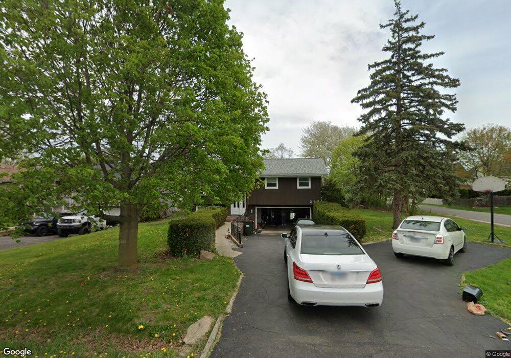
1N265 Darling St Carol Stream, IL 60188
South Carol Stream NeighborhoodEstimated Value: $332,000 - $431,000
3
Beds
2
Baths
1,650
Sq Ft
$228/Sq Ft
Est. Value
About This Home
This home is located at 1N265 Darling St, Carol Stream, IL 60188 and is currently estimated at $375,597, approximately $227 per square foot. 1N265 Darling St is a home located in DuPage County with nearby schools including Washington Elementary School, Monroe Middle School, and Wheaton North High School.
Ownership History
Date
Name
Owned For
Owner Type
Purchase Details
Closed on
Jun 18, 1999
Sold by
Kendall Glenn R and Kendall Kathleen E
Bought by
Perez Jose A and Perez Lidia
Current Estimated Value
Home Financials for this Owner
Home Financials are based on the most recent Mortgage that was taken out on this home.
Original Mortgage
$124,000
Outstanding Balance
$33,729
Interest Rate
7.43%
Estimated Equity
$341,868
Create a Home Valuation Report for This Property
The Home Valuation Report is an in-depth analysis detailing your home's value as well as a comparison with similar homes in the area
Home Values in the Area
Average Home Value in this Area
Purchase History
| Date | Buyer | Sale Price | Title Company |
|---|---|---|---|
| Perez Jose A | $155,000 | -- |
Source: Public Records
Mortgage History
| Date | Status | Borrower | Loan Amount |
|---|---|---|---|
| Open | Perez Jose A | $124,000 | |
| Closed | Perez Jose A | $6,000 |
Source: Public Records
Tax History
| Year | Tax Paid | Tax Assessment Tax Assessment Total Assessment is a certain percentage of the fair market value that is determined by local assessors to be the total taxable value of land and additions on the property. | Land | Improvement |
|---|---|---|---|---|
| 2024 | $5,165 | $87,129 | $15,090 | $72,039 |
| 2023 | $4,925 | $80,200 | $13,890 | $66,310 |
| 2022 | $4,877 | $75,790 | $13,120 | $62,670 |
| 2021 | $4,725 | $73,990 | $12,810 | $61,180 |
| 2020 | $4,653 | $73,300 | $12,690 | $60,610 |
| 2019 | $4,532 | $71,360 | $12,350 | $59,010 |
| 2018 | $4,597 | $71,450 | $11,640 | $59,810 |
| 2017 | $4,505 | $68,810 | $11,210 | $57,600 |
| 2016 | $4,430 | $66,060 | $10,760 | $55,300 |
| 2015 | $4,379 | $63,020 | $10,260 | $52,760 |
| 2014 | $4,674 | $65,730 | $11,900 | $53,830 |
| 2013 | $4,514 | $65,930 | $11,940 | $53,990 |
Source: Public Records
Map
Nearby Homes
- Lot 11 Ellis Ave
- 25W275 Doris Ave
- 0 Ellis Ave
- 570 Amy Ln
- 1426 Preserve Dr Unit 30
- 1035 Quarry Ct Unit 9
- 1902 N Washington St
- 464 S President St Unit 204
- 491 Timber Ridge Dr Unit 101
- 27W130 W Street Charles Rd
- 808 Bridle Ln
- 192 Surrey Dr
- 722 Countryside Dr
- 1017 Tartan Ct
- 425 Wakeman Ave
- 876 Brompton Ct
- 114 W Prairie Ave
- 1115 N Main St
- 1108 N Main St
- 26W185 Meadowview Ct
- 1N271 Darling St
- 1N281 Darling St
- 1N266 West St
- 25W025 Della Ave
- 1N266 West St
- 1N272 West St
- 1N287 Darling St
- 1N274 Darling St
- 1N282 West St
- 1N264 Darling St
- 1N250 West St
- 1N305 Darling St
- 1N300 West St
- 1N280 Darling St
- 1N248 Darling St
- 1N240 West St
- 1N237 Darling St
- 1N286 Darling St
- 1N311 Darling St
- 1N302 West St