1N865 Francis Rd Maple Park, IL 60151
Estimated Value: $434,000 - $582,000
--
Bed
--
Bath
1,981
Sq Ft
$248/Sq Ft
Est. Value
About This Home
This home is located at 1N865 Francis Rd, Maple Park, IL 60151 and is currently estimated at $491,513, approximately $248 per square foot. 1N865 Francis Rd is a home with nearby schools including Kaneland John Stewart Elementary School, Harter Middle School, and Kaneland Senior High School.
Ownership History
Date
Name
Owned For
Owner Type
Purchase Details
Closed on
Mar 3, 2008
Sold by
Azemi Adil
Bought by
Azemi Sefedin
Current Estimated Value
Home Financials for this Owner
Home Financials are based on the most recent Mortgage that was taken out on this home.
Original Mortgage
$30,906
Interest Rate
5.62%
Mortgage Type
New Conventional
Purchase Details
Closed on
Sep 22, 1997
Sold by
The Old Second National Bank Of Aurora
Bought by
Azemi Adil and Azemi Sefedin
Home Financials for this Owner
Home Financials are based on the most recent Mortgage that was taken out on this home.
Original Mortgage
$130,000
Outstanding Balance
$19,493
Interest Rate
7.1%
Estimated Equity
$472,020
Create a Home Valuation Report for This Property
The Home Valuation Report is an in-depth analysis detailing your home's value as well as a comparison with similar homes in the area
Home Values in the Area
Average Home Value in this Area
Purchase History
| Date | Buyer | Sale Price | Title Company |
|---|---|---|---|
| Azemi Sefedin | -- | None Available | |
| Azemi Adil | $126,666 | Advanced Title Services Inc |
Source: Public Records
Mortgage History
| Date | Status | Borrower | Loan Amount |
|---|---|---|---|
| Closed | Azemi Sefedin | $30,906 | |
| Open | Azemi Adil | $130,000 |
Source: Public Records
Tax History Compared to Growth
Tax History
| Year | Tax Paid | Tax Assessment Tax Assessment Total Assessment is a certain percentage of the fair market value that is determined by local assessors to be the total taxable value of land and additions on the property. | Land | Improvement |
|---|---|---|---|---|
| 2024 | $12,834 | $160,026 | $53,880 | $106,146 |
| 2023 | $12,813 | $149,084 | $50,196 | $98,888 |
| 2022 | $12,066 | $136,699 | $46,026 | $90,673 |
| 2021 | $12,066 | $131,000 | $44,107 | $86,893 |
| 2020 | $11,448 | $126,485 | $42,587 | $83,898 |
| 2019 | $11,239 | $121,433 | $40,886 | $80,547 |
| 2018 | $10,569 | $110,685 | $37,267 | $73,418 |
| 2017 | $9,359 | $95,720 | $28,555 | $67,165 |
| 2016 | $8,886 | $88,176 | $26,006 | $62,170 |
| 2015 | -- | $83,061 | $24,277 | $58,784 |
| 2014 | -- | $78,052 | $24,268 | $53,784 |
| 2013 | -- | $83,284 | $26,158 | $57,126 |
Source: Public Records
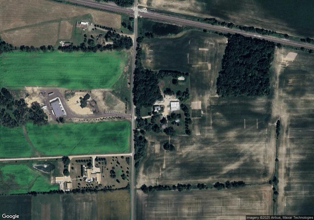
Map
Nearby Homes
- 0N119 Dauberman Rd
- 48W201 Keslinger Rd
- 165 Schneider Rd
- Lot 37 Houtz Cir
- Lot 84 Houtz Cir
- 18-acres Rt 47 - Hughes Rd
- 205 W Pierce St
- 526 N Main St
- 000 Illinois 47
- 231 E Shannon St
- 00 Rt 38 Rd
- 630 Maple Ct Unit 2
- 1120 Walker Ct
- 235 Walker Dr
- 1427 Garfield Dr
- 524 Highland Dr
- 653 Downing St
- The Aspen - Front Load Plan at Williams Ridge
- The Halsted Plan at Williams Ridge
- The Superior Plan at Williams Ridge
- 2 Francis Rd
- 2N020 Francis Rd
- 1N782 Francis Rd
- 2N200 Francis Rd
- 46W571 Il Route 38
- 46W603 Il Route 38
- 46W691 Il Route 38
- 46W725 Il Route 38
- 46W159
- 46W276 State Route 38
- 1N482 Francis Rd
- 46W159 Il Route 38
- 38 Francis Rd
- 46W115 State Route 38
- 2N400 Francis Rd
- 2N238 Francis Rd
- 2N399 Francis Rd
- 46W170 Il Route 38
- 46W063 Il Route 38
- 2N310 Landrose Ln