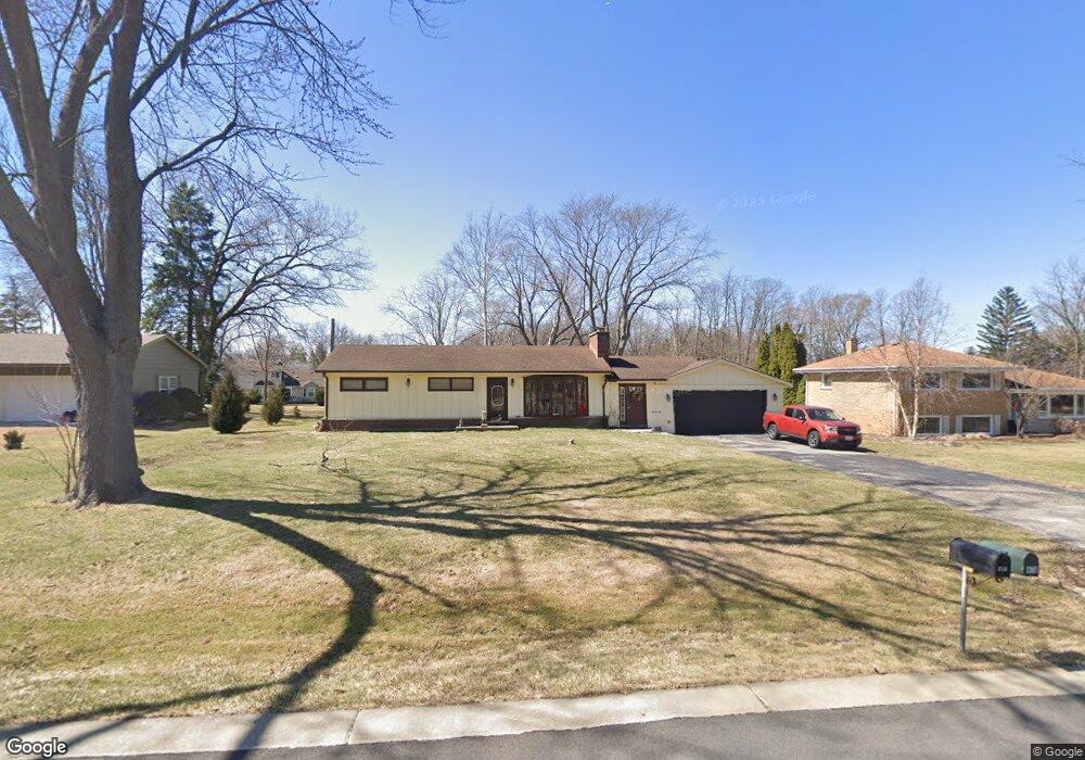
1S478 Lewis Ave Lombard, IL 60148
South Lombard NeighborhoodEstimated Value: $277,000 - $398,000
--
Bed
--
Bath
1,044
Sq Ft
$325/Sq Ft
Est. Value
About This Home
This home is located at 1S478 Lewis Ave, Lombard, IL 60148 and is currently estimated at $339,537, approximately $325 per square foot. 1S478 Lewis Ave is a home located in DuPage County with nearby schools including Stevenson School, York Center Elementary School, and Jackson Middle School.
Ownership History
Date
Name
Owned For
Owner Type
Purchase Details
Closed on
May 24, 2018
Sold by
Mack Richard and Mack Nancy
Bought by
Mack Carl A
Current Estimated Value
Purchase Details
Closed on
May 10, 2017
Sold by
Mcdermott Debra A and James O Debs Trust
Bought by
Mack Richard and Mack Nancy
Purchase Details
Closed on
Mar 18, 2011
Sold by
Debs James O
Bought by
Debs James O and James O Debs Trust
Create a Home Valuation Report for This Property
The Home Valuation Report is an in-depth analysis detailing your home's value as well as a comparison with similar homes in the area
Home Values in the Area
Average Home Value in this Area
Purchase History
| Date | Buyer | Sale Price | Title Company |
|---|---|---|---|
| Mack Carl A | -- | None Available | |
| Mack Richard | $157,000 | None Available | |
| Debs James O | -- | None Available |
Source: Public Records
Tax History Compared to Growth
Tax History
| Year | Tax Paid | Tax Assessment Tax Assessment Total Assessment is a certain percentage of the fair market value that is determined by local assessors to be the total taxable value of land and additions on the property. | Land | Improvement |
|---|---|---|---|---|
| 2024 | $7,344 | $106,951 | $56,709 | $50,242 |
| 2023 | $6,895 | $98,900 | $52,440 | $46,460 |
| 2022 | $6,608 | $95,070 | $50,410 | $44,660 |
| 2021 | $6,378 | $92,710 | $49,160 | $43,550 |
| 2020 | $6,243 | $90,680 | $48,080 | $42,600 |
| 2019 | $5,895 | $86,210 | $45,710 | $40,500 |
| 2018 | $5,508 | $76,990 | $40,820 | $36,170 |
| 2017 | $5,293 | $73,370 | $38,900 | $34,470 |
| 2016 | $5,257 | $69,120 | $36,650 | $32,470 |
| 2015 | $5,768 | $71,540 | $37,930 | $33,610 |
| 2014 | $5,400 | $66,840 | $52,680 | $14,160 |
| 2013 | $4,875 | $67,780 | $53,420 | $14,360 |
Source: Public Records
Map
Nearby Homes
- 511 Graywood Dr
- 502 Rosebud Dr S
- 396 E 17th Place
- 511 Rosebud Dr S
- 2020 Saint Regis Dr Unit 509
- 2030 Saint Regis Dr
- 1520 S Fairfield Ave Unit 32C
- 19W040 22nd St
- 232 Eastgate Rd
- Lot 1 S Meyers Rd
- Lot 11 S Meyers Rd
- Lot 7 S Meyers Rd
- Lot 8 S Meyers Rd
- Lot 6 S Meyers Rd
- Lot 9 S Meyers Rd
- Lot 5 S Meyers Rd
- Lot 10 S Meyers Rd
- Lot 2 S Meyers Rd
- 1S777 Westview Ave
- 1703 S Highland Ave
- 1S464 Lewis Ave
- 1S500 Lewis Ave
- 1S452 Lewis Ave
- 1S514 Lewis Ave
- 1611 Ainsley Ln
- 1S481 Lewis Ave
- 1S453 Lewis Ave
- 1S465 Lewis Ave
- 1S503 Lewis Ave
- 1621 Ainsley Ln
- 1S524 Lewis Ave
- 1601 Ainsley Ln
- 1S436 Lewis Ave
- 1S513 Lewis Ave
- 1631 Ainsley Ln
- 1600 Ainsley Ln
- 1S437 Lewis Ave
- 1S527 Lewis Ave
- 1S540 Lewis Ave
- 1S424 Lewis Ave