
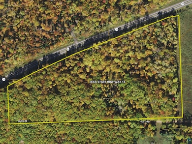
1xxxx State Highway 13 Port Wing, WI 54865
Estimated payment $397/month
Total Views
12,810
16.65
Acres
$4,204
Price per Acre
725,274
Sq Ft Lot
Highlights
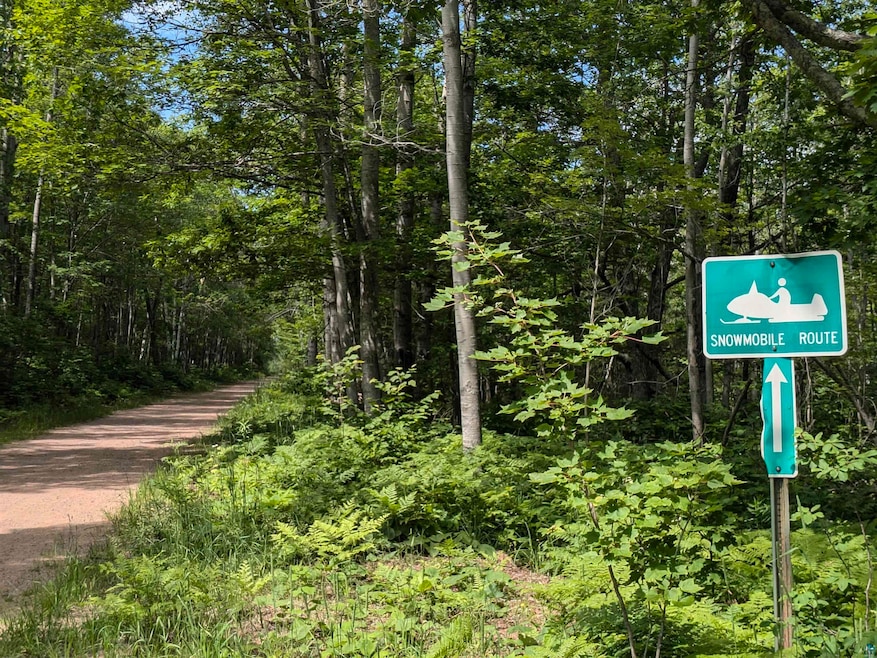
- 16.65 Acre Lot
- No HOA
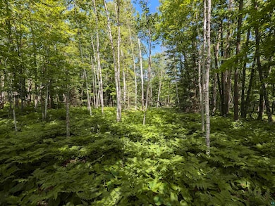
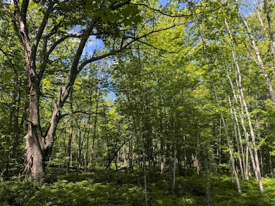
- Landscaped with Trees
- South Shore Elementary School Rated A-
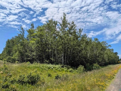
About This Lot
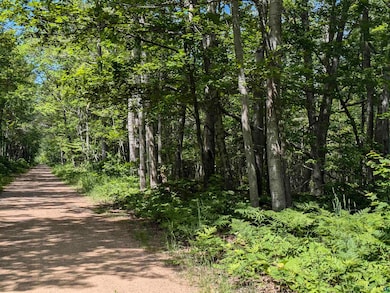
With access on both sides, this gradually sloped parcel boasts dry land and walkable tree coverage. Find your next opportunity for a cabin, home, or stop on your snowmobile trail just outside of Port Wing!
Property Details
Property Type
- Land
Est. Annual Taxes
- $338
Lot Details
- 16.65 Acre Lot
- Lot Dimensions are 1312 x 275 x 1420 x 800
- Property fronts a highway
- Landscaped with Trees
Community Details
- No Home Owners Association
Map
Create a Home Valuation Report for This Property
The Home Valuation Report is an in-depth analysis detailing your home's value as well as a comparison with similar homes in the area
Home Values in the Area
Average Home Value in this Area
Property History
| Date | Event | Price | List to Sale | Price per Sq Ft |
|---|---|---|---|---|
| 09/15/2025 09/15/25 | Price Changed | $70,000 | -12.5% | -- |
| 09/13/2024 09/13/24 | Price Changed | $80,000 | -11.1% | -- |
| 07/01/2024 07/01/24 | For Sale | $90,000 | -- | -- |
Source: Lake Superior Area REALTORS®
About the Listing Agent
ALEX's Other Listings
Source: Lake Superior Area REALTORS®
MLS Number: 6114671
Nearby Homes
- 11 Acres on State Highway 13
- 83185 Washington Ave
- Lots 13-18, Block 14 Okerstrom St
- Lots 13-18 Okerstrom Rd
- 828XX White Birch Rd
- 8920 School Rd
- 10550 Flagg River Rd
- 85255 Ravine Rd
- 85780 Smith Dr
- 85780 Smith Rd
- 54XX Old Hwy 13
- 13240 Touve Rd
- 6.03 Acres E Orienta Falls Rd
- 79170 Severson Rd
- 14770 Touve Rd
- TBD Lois Ln
- 13770 State Highway 13
- 40 Acres Near Lenawee Rd
- 772XX Lois Ln
- XXX Lenawee Rd