2-2A Beach Rd Westport, MA 02790
Westport Point NeighborhoodEstimated Value: $880,000 - $1,454,000
4
Beds
--
Bath
5,256
Sq Ft
$215/Sq Ft
Est. Value
About This Home
This home is located at 2-2A Beach Rd, Westport, MA 02790 and is currently estimated at $1,129,131, approximately $214 per square foot. 2-2A Beach Rd is a home with nearby schools including Alice A. Macomber Primary School, Westport Elementary School, and Westport Middle-High School.
Ownership History
Date
Name
Owned For
Owner Type
Purchase Details
Closed on
Apr 21, 2023
Sold by
Madsen Heather A
Bought by
Madsen Ft
Current Estimated Value
Purchase Details
Closed on
Mar 22, 2016
Sold by
Cooper Paul G and Cooper Caroline A
Bought by
Madsen Heather A
Purchase Details
Closed on
Feb 25, 2002
Sold by
H & C Investors Inc
Bought by
Cooper Paul G and Cooper Caroline A
Home Financials for this Owner
Home Financials are based on the most recent Mortgage that was taken out on this home.
Original Mortgage
$190,502
Interest Rate
7.08%
Mortgage Type
Purchase Money Mortgage
Create a Home Valuation Report for This Property
The Home Valuation Report is an in-depth analysis detailing your home's value as well as a comparison with similar homes in the area
Home Values in the Area
Average Home Value in this Area
Purchase History
| Date | Buyer | Sale Price | Title Company |
|---|---|---|---|
| Madsen Ft | -- | None Available | |
| Madsen Heather A | -- | -- | |
| Cooper Paul G | $190,502 | -- |
Source: Public Records
Mortgage History
| Date | Status | Borrower | Loan Amount |
|---|---|---|---|
| Previous Owner | Cooper Paul G | $190,502 |
Source: Public Records
Tax History Compared to Growth
Tax History
| Year | Tax Paid | Tax Assessment Tax Assessment Total Assessment is a certain percentage of the fair market value that is determined by local assessors to be the total taxable value of land and additions on the property. | Land | Improvement |
|---|---|---|---|---|
| 2025 | $6,534 | $877,100 | $420,500 | $456,600 |
| 2024 | $6,463 | $836,100 | $389,500 | $446,600 |
| 2023 | $6,122 | $750,300 | $321,500 | $428,800 |
| 2022 | $5,956 | $702,300 | $321,500 | $380,800 |
| 2021 | $5,802 | $673,100 | $292,300 | $380,800 |
| 2020 | $5,576 | $661,400 | $280,600 | $380,800 |
| 2019 | $5,258 | $635,800 | $280,600 | $355,200 |
| 2018 | $4,094 | $501,100 | $166,200 | $334,900 |
| 2017 | $3,846 | $482,500 | $166,200 | $316,300 |
| 2016 | $3,860 | $488,000 | $166,200 | $321,800 |
| 2015 | $3,584 | $452,000 | $166,200 | $285,800 |
Source: Public Records
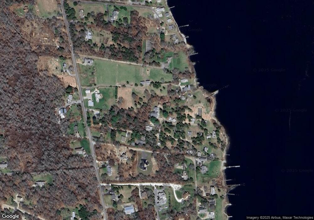
Map
Nearby Homes
- 99 Sylvia Ln
- 1702J Drift Rd
- 1702 Drift Rd
- 1580 Main Rd
- 1881 Main Rd
- 1346 Main Rd Unit B
- 225 Hixbridge Rd
- 920 Drift Rd
- 0 Reed Rd (Ss)
- 332 Division Rd
- 2 Slades Farm Ln
- 101 Adamsville Rd
- Lot 2 Horseneck Rd
- 837 Main Road & Lot 2
- 837 Main Rd
- Lot 2E Horseneck Rd
- 8 Village Way
- 7 Village Way
- 15 Village Way
- 19 Seabury Ln
- 2 Beach Rd
- 6 Great Island View Rd
- 4 Beach Rd
- 1 Beach Rd
- 1 Beechwood Dr
- LOT 1 Beechwood
- 1520 Drift Rd (Lot 41a Parcel 47)
- 1518A Drift Rd
- 1518 Drift Rd Unit WINTER RENT
- 1518 Drift Rd Unit WINTER
- 5 Great Island View Rd
- 3 Great Island View Rd
- 6 Beach Rd
- 8 Beach Rd
- 7 Great Island View Rd
- 10 Great Island View Rd
- 1 Great Island View Rd
- 9 Great Island View Rd
- 1516 Drift Rd
- 12 Great Island View Rd