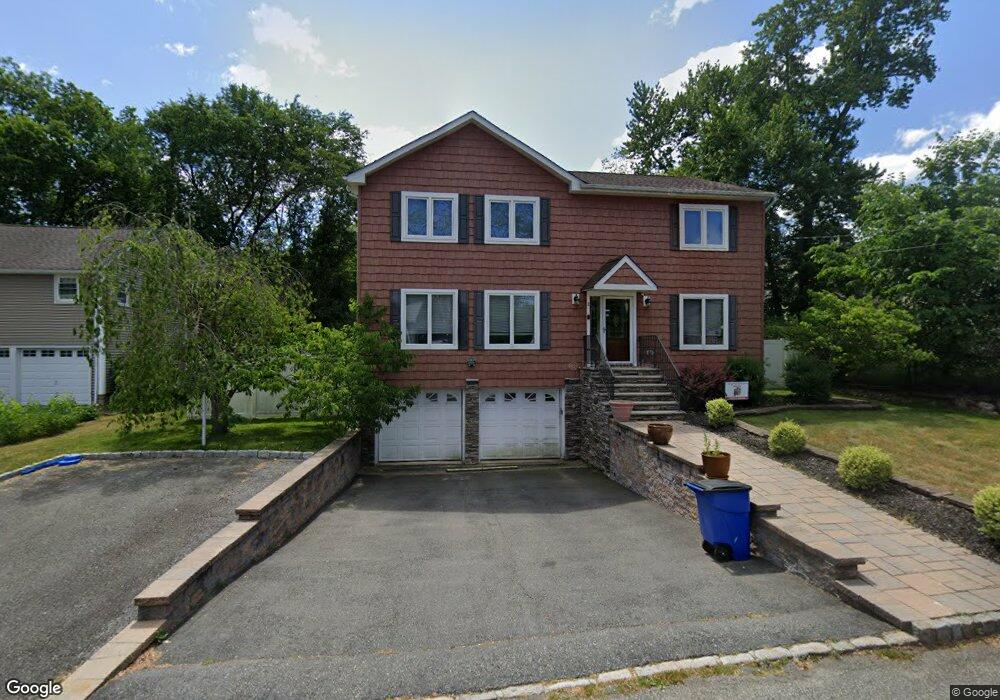
2 3rd Ave Roseland, NJ 07068
Estimated Value: $830,000 - $1,125,000
Studio
--
Bath
2,592
Sq Ft
$350/Sq Ft
Est. Value
About This Home
This home is located at 2 3rd Ave, Roseland, NJ 07068 and is currently estimated at $906,024, approximately $349 per square foot. 2 3rd Ave is a home located in Essex County with nearby schools including Lester C. Noecker Elementary School, West Essex Middle School, and West Essex High School.
Ownership History
Date
Name
Owned For
Owner Type
Purchase Details
Closed on
May 24, 2010
Sold by
Fossetta Karen and Del Russo Linda
Bought by
Digiovanni Martin and Digiovanni Ruth
Current Estimated Value
Home Financials for this Owner
Home Financials are based on the most recent Mortgage that was taken out on this home.
Original Mortgage
$468,050
Outstanding Balance
$314,789
Interest Rate
5.12%
Mortgage Type
FHA
Estimated Equity
$591,235
Purchase Details
Closed on
Jun 23, 2008
Sold by
Cates Angela P
Bought by
Fossetta Karen and Del Russo Linda
Purchase Details
Closed on
Jul 6, 1988
Sold by
Robert Farley & Sons Inc
Bought by
Cates Robert L
Create a Home Valuation Report for This Property
The Home Valuation Report is an in-depth analysis detailing your home's value as well as a comparison with similar homes in the area
Home Values in the Area
Average Home Value in this Area
Purchase History
| Date | Buyer | Sale Price | Title Company |
|---|---|---|---|
| Digiovanni Martin | $505,000 | Old Republic National Title | |
| Fossetta Karen | -- | None Available | |
| Cates Robert L | $305,000 | -- |
Source: Public Records
Mortgage History
| Date | Status | Borrower | Loan Amount |
|---|---|---|---|
| Open | Digiovanni Martin | $468,050 |
Source: Public Records
Tax History
| Year | Tax Paid | Tax Assessment Tax Assessment Total Assessment is a certain percentage of the fair market value that is determined by local assessors to be the total taxable value of land and additions on the property. | Land | Improvement |
|---|---|---|---|---|
| 2025 | $10,827 | $596,600 | $287,500 | $309,100 |
| 2024 | $10,827 | $587,900 | $287,500 | $300,400 |
Source: Public Records
Map
Nearby Homes
- 492 Eagle Rock Ave
- 518 Eagle Rock Ave
- 50 Cooper Ave
- 15 Paradise Place Unit C0008
- 26 Kent Dr Unit C0145
- 108 Kent Dr Unit C0130
- 88 Kent Dr Unit C0176
- 354 Beaufort Ave
- 144 Passaic Ave
- 5 Locust Place
- 4 Drummond Terrace
- 6 Cliffside Dr
- 11 Hawthorne Dr
- 41 W Mcclellan Ave
- 192 Eagle Rock Ave
- 53 Rockledge Dr
- 48 Bovensiepen Ct
- 5 Raquel Ct
- 2 Holderith Rd
- 52 Congressional Pkwy
Your Personal Tour Guide
Ask me questions while you tour the home.