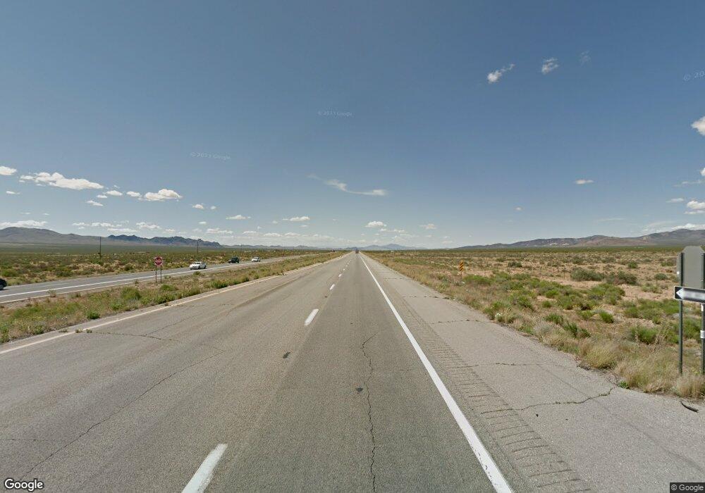
2.94 acres Hwy 93 Dolan Springs, AZ 86441
Estimated Value: $98,000 - $120,000
--
Bed
--
Bath
--
Sq Ft
2.94
Acres
About This Home
This home is located at 2.94 acres Hwy 93, Dolan Springs, AZ 86441 and is currently estimated at $109,000. 2.94 acres Hwy 93 is a home located in Mohave County with nearby schools including Lee Williams High School.
Ownership History
Date
Name
Owned For
Owner Type
Purchase Details
Closed on
Apr 1, 2021
Sold by
Ten Brave Llc
Bought by
Top Notch Plumbing Inc
Current Estimated Value
Purchase Details
Closed on
Jun 6, 2019
Sold by
Eater Acres Llc
Bought by
Ten Brave Llc
Purchase Details
Closed on
Dec 11, 2014
Sold by
Cook William J and Cook Wilda S
Bought by
Easter Acres Llc
Home Financials for this Owner
Home Financials are based on the most recent Mortgage that was taken out on this home.
Original Mortgage
$40,000
Interest Rate
4%
Mortgage Type
Seller Take Back
Purchase Details
Closed on
Jun 1, 2011
Sold by
Cook William J and Cook Wilda S
Bought by
Cook William J and Cook Wilda S
Create a Home Valuation Report for This Property
The Home Valuation Report is an in-depth analysis detailing your home's value as well as a comparison with similar homes in the area
Home Values in the Area
Average Home Value in this Area
Purchase History
| Date | Buyer | Sale Price | Title Company |
|---|---|---|---|
| Top Notch Plumbing Inc | $60,000 | Chicago Title Agency Inc | |
| Ten Brave Llc | $150,000 | None Available | |
| Easter Acres Llc | $50,000 | Pioneer Title Agency Inc | |
| Cook William J | -- | None Available |
Source: Public Records
Mortgage History
| Date | Status | Borrower | Loan Amount |
|---|---|---|---|
| Previous Owner | Easter Acres Llc | $40,000 |
Source: Public Records
Tax History Compared to Growth
Tax History
| Year | Tax Paid | Tax Assessment Tax Assessment Total Assessment is a certain percentage of the fair market value that is determined by local assessors to be the total taxable value of land and additions on the property. | Land | Improvement |
|---|---|---|---|---|
| 2026 | -- | -- | -- | -- |
| 2025 | $562 | $15,292 | $0 | $0 |
| 2024 | $562 | $15,811 | $0 | $0 |
| 2023 | $562 | $24,314 | $0 | $0 |
| 2022 | $522 | $24,314 | $0 | $0 |
| 2021 | $540 | $23,688 | $0 | $0 |
| 2019 | $493 | $5,815 | $0 | $0 |
| 2018 | $510 | $4,815 | $0 | $0 |
| 2017 | $492 | $4,815 | $0 | $0 |
| 2016 | $537 | $5,556 | $0 | $0 |
| 2015 | $585 | $5,268 | $0 | $0 |
Source: Public Records
Map
Nearby Homes
- 29 Bee Dr
- 20 Acres Highway 93
- 2.5 AC Bonita Dr
- 326-04-112 W Sundown Rd
- 5ac N Aladdin Dr
- 0000 N Amana
- 8980 W Mission Ln
- Lot 116 N Agua Mawsa Dr
- Lot 100 N Agua Mawsa Dr Unit 100
- Lot 100 N Agua Mawsa Dr
- 0 N Cottonwood Dr Unit 25147342
- 0 N Cottonwood Dr Unit 24589885
- 14501 N Canyon Dr
- 0000 N Canyon Dr
- Lot 72 W 6th St
- 326-04-118 W Third St
- 0 N Chicory Dr Unit 33492
- 0000 Cedar Rd
- 316-11-018 Cattle Dr
- 0000 N Cedar Rd
- Lot 124 Hwy 93
- LOT 109 Bee Dr
- LOT 21 Bee Dr
- 0000 N Bee Dr
- 0 Bee Dr Unit 882476
- 0 Bee Dr Unit 895665
- 00 Bee Dr
- LOT 28 Bee Dr
- 0 Pierce Ferry Rd Unit 2268
- 0 Pierce Ferry Rd Unit 955066
- LMR94 Pierce Ferry Rd Canyon
- 0 Pierce Ferry Rd Unit 790589
- 0 Pierce Ferry Rd Unit 358116
- 0 Pierce Ferry Rd Unit 359661
- 0 Pierce Ferry Rd Unit 391328
- 0 Pierce Ferry Rd Unit 357647
- 0 Pierce Ferry Rd Unit 390753
- 0 Pierce Ferry Rd Unit 783503
- 0 Pierce Ferry Rd Unit 783450
- 0 Pierce Ferry Rd Unit 358131
