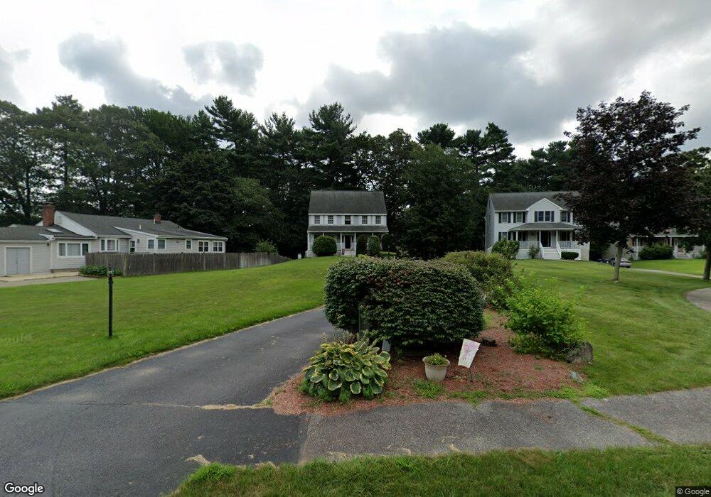
2 Acorn Dr Wilmington, MA 01887
Estimated Value: $850,779 - $913,000
3
Beds
3
Baths
2,200
Sq Ft
$405/Sq Ft
Est. Value
About This Home
This home is located at 2 Acorn Dr, Wilmington, MA 01887 and is currently estimated at $891,445, approximately $405 per square foot. 2 Acorn Dr is a home located in Middlesex County with nearby schools including Wilmington Middle School, Wilmington High School, and N Reading Knowledge Beginnings.
Ownership History
Date
Name
Owned For
Owner Type
Purchase Details
Closed on
Aug 6, 1997
Sold by
Db Rt
Bought by
Doherty Brendan C
Current Estimated Value
Home Financials for this Owner
Home Financials are based on the most recent Mortgage that was taken out on this home.
Original Mortgage
$75,000
Interest Rate
7.5%
Mortgage Type
Purchase Money Mortgage
Create a Home Valuation Report for This Property
The Home Valuation Report is an in-depth analysis detailing your home's value as well as a comparison with similar homes in the area
Home Values in the Area
Average Home Value in this Area
Purchase History
| Date | Buyer | Sale Price | Title Company |
|---|---|---|---|
| Doherty Brendan C | $238,900 | -- |
Source: Public Records
Mortgage History
| Date | Status | Borrower | Loan Amount |
|---|---|---|---|
| Open | Doherty Brendan C | $175,000 | |
| Closed | Doherty Brendan C | $135,000 | |
| Closed | Doherty Brendan C | $75,000 |
Source: Public Records
Tax History Compared to Growth
Tax History
| Year | Tax Paid | Tax Assessment Tax Assessment Total Assessment is a certain percentage of the fair market value that is determined by local assessors to be the total taxable value of land and additions on the property. | Land | Improvement |
|---|---|---|---|---|
| 2025 | $8,945 | $781,200 | $330,600 | $450,600 |
| 2024 | $8,773 | $767,500 | $330,600 | $436,900 |
| 2023 | $7,959 | $666,600 | $280,500 | $386,100 |
| 2022 | $7,544 | $579,000 | $233,700 | $345,300 |
| 2021 | $7,486 | $540,900 | $212,400 | $328,500 |
| 2020 | $7,178 | $528,600 | $212,400 | $316,200 |
| 2019 | $7,046 | $512,400 | $207,700 | $304,700 |
| 2018 | $6,895 | $478,500 | $197,900 | $280,600 |
| 2017 | $6,738 | $466,300 | $193,600 | $272,700 |
| 2016 | $6,295 | $430,300 | $184,400 | $245,900 |
| 2015 | $6,066 | $422,100 | $184,400 | $237,700 |
| 2014 | $5,652 | $396,900 | $175,700 | $221,200 |
Source: Public Records
Map
Nearby Homes
- 1 Evans Dr
- 5 Flynn Way
- 12 Lockwood Rd
- 3 Oakdale Rd
- 7 W Village Dr
- 220 Martins Landing Unit 309
- 260 Martins Landing Unit 508
- 260 Martins Landing Unit 103
- 300 Martins Landing Unit 107
- 320 Martins Landing Unit 108
- 320 Martins Landing Unit 109
- 320 Martins Landing Unit 110
- 320 Martins Landing Unit 303
- 320 Martins Landing Unit 102
- 320 Martins Landing Unit 103
- 320 Martins Landing Unit 2410
- 320 Martins Landing Unit 403
- 320 Martins Landing Unit 2201
- 320 Martins Landing Unit 112
- 320 Martins Landing Unit 206