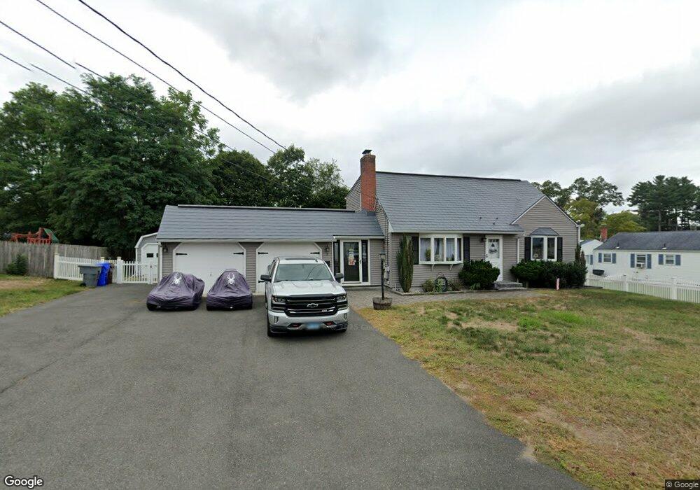
2 Adams Rd Enfield, CT 06082
Estimated Value: $352,000 - $385,216
4
Beds
2
Baths
1,701
Sq Ft
$215/Sq Ft
Est. Value
About This Home
This home is located at 2 Adams Rd, Enfield, CT 06082 and is currently estimated at $365,054, approximately $214 per square foot. 2 Adams Rd is a home located in Hartford County with nearby schools including Eli Whitney Elementary School, Hazardville Memorial Elementary School, and Enfield High School.
Ownership History
Date
Name
Owned For
Owner Type
Purchase Details
Closed on
Dec 29, 2016
Sold by
Walker Mark K
Bought by
Walker Mark K and Walker Joanna M
Current Estimated Value
Home Financials for this Owner
Home Financials are based on the most recent Mortgage that was taken out on this home.
Original Mortgage
$123,000
Outstanding Balance
$100,838
Interest Rate
3.94%
Mortgage Type
New Conventional
Estimated Equity
$264,216
Purchase Details
Closed on
Feb 22, 2011
Sold by
Herter Lawrence A and Herter Kathleen A
Bought by
Walker Mark A
Purchase Details
Closed on
Aug 26, 2004
Sold by
Pelletier Garland
Bought by
Greci Raymond and Greci Christa
Create a Home Valuation Report for This Property
The Home Valuation Report is an in-depth analysis detailing your home's value as well as a comparison with similar homes in the area
Home Values in the Area
Average Home Value in this Area
Purchase History
We collect this data history from publicly available records. To have your information removed, we recommend requesting removal directly through your county’s website.
| Date | Buyer | Sale Price | Title Company |
|---|---|---|---|
| Walker Mark K | -- | -- | |
| Walker Mark A | $166,250 | -- | |
| Greci Raymond | $210,000 | -- |
Source: Public Records
Mortgage History
We collect this data history from publicly available records. To have your information removed, we recommend requesting removal directly through your county’s website.
| Date | Status | Borrower | Loan Amount |
|---|---|---|---|
| Open | Greci Raymond | $123,000 | |
| Previous Owner | Greci Raymond | $256,000 | |
| Previous Owner | Greci Raymond | $15,000 |
Source: Public Records
Tax History
| Year | Tax Paid | Tax Assessment Tax Assessment Total Assessment is a certain percentage of the fair market value that is determined by local assessors to be the total taxable value of land and additions on the property. | Land | Improvement |
|---|---|---|---|---|
| 2025 | $6,743 | $192,100 | $56,600 | $135,500 |
| 2024 | $6,495 | $192,100 | $56,600 | $135,500 |
| 2023 | $6,447 | $192,100 | $56,600 | $135,500 |
| 2022 | $5,934 | $192,100 | $56,600 | $135,500 |
| 2021 | $5,540 | $147,470 | $46,890 | $100,580 |
| 2020 | $5,504 | $147,470 | $46,890 | $100,580 |
| 2019 | $5,453 | $146,300 | $46,890 | $99,410 |
| 2018 | $5,306 | $146,300 | $46,890 | $99,410 |
| 2017 | $4,986 | $146,300 | $46,890 | $99,410 |
| 2016 | $4,848 | $145,330 | $48,110 | $97,220 |
| 2015 | $4,700 | $145,330 | $48,110 | $97,220 |
| 2014 | $4,582 | $145,330 | $48,110 | $97,220 |
Source: Public Records
Map
Nearby Homes
Your Personal Tour Guide
Ask me questions while you tour the home.