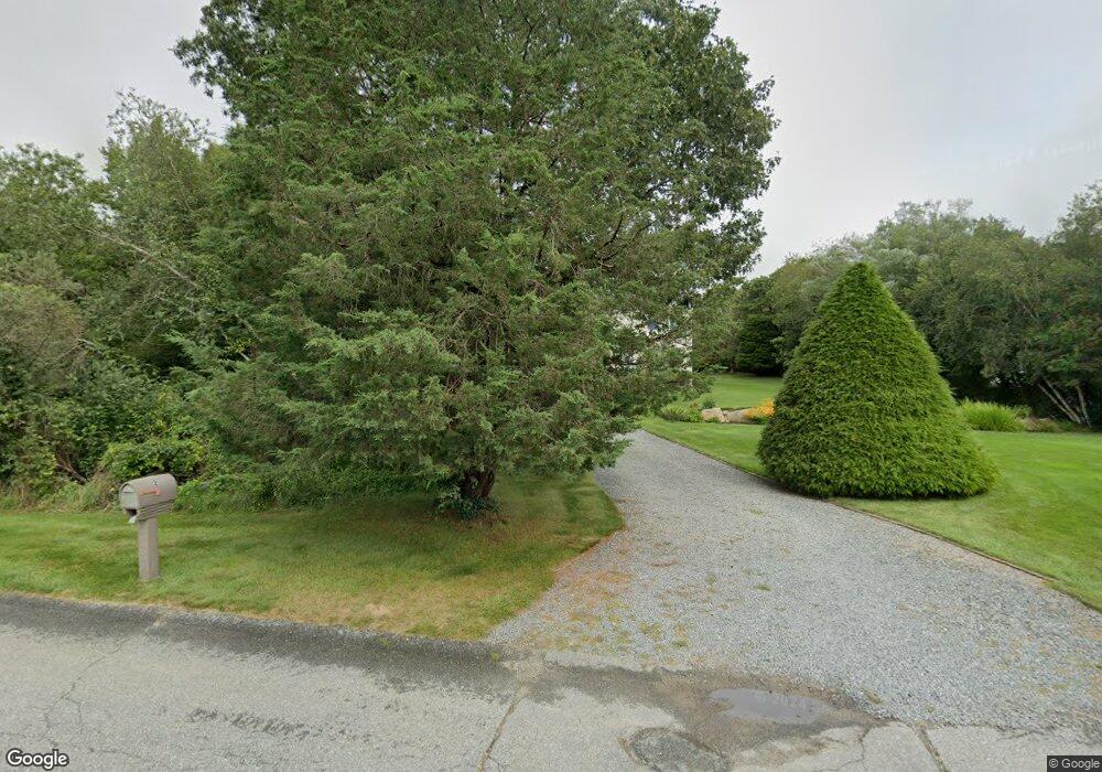
2 Aimes Way Westport, MA 02790
Head of Westport NeighborhoodEstimated Value: $630,832 - $766,000
3
Beds
--
Bath
1,736
Sq Ft
$394/Sq Ft
Est. Value
About This Home
This home is located at 2 Aimes Way, Westport, MA 02790 and is currently estimated at $683,208, approximately $393 per square foot. 2 Aimes Way is a home located in Bristol County with nearby schools including Alice A. Macomber Primary School, Westport Elementary School, and Westport Middle-High School.
Ownership History
Date
Name
Owned For
Owner Type
Purchase Details
Closed on
Jan 24, 2022
Sold by
Vieira Stephen W and Byam-Vieira Beverly
Bought by
Vieira Stephen W and Byam-Vieira Beverly
Current Estimated Value
Purchase Details
Closed on
Mar 15, 1999
Sold by
Pereira Kenneth M and Vieira Helen K
Bought by
Vieira Stephen and Byam Beverly G
Home Financials for this Owner
Home Financials are based on the most recent Mortgage that was taken out on this home.
Original Mortgage
$175,000
Interest Rate
6.73%
Mortgage Type
Purchase Money Mortgage
Create a Home Valuation Report for This Property
The Home Valuation Report is an in-depth analysis detailing your home's value as well as a comparison with similar homes in the area
Home Values in the Area
Average Home Value in this Area
Purchase History
| Date | Buyer | Sale Price | Title Company |
|---|---|---|---|
| Vieira Stephen W | -- | None Available | |
| Vieira Stephen | $178,500 | -- |
Source: Public Records
Mortgage History
| Date | Status | Borrower | Loan Amount |
|---|---|---|---|
| Previous Owner | Vieira Stephen | $180,000 | |
| Previous Owner | Vieira Stephen | $188,000 | |
| Previous Owner | Vieira Stephen | $175,000 | |
| Previous Owner | Vieira Stephen | $175,000 |
Source: Public Records
Tax History Compared to Growth
Tax History
| Year | Tax Paid | Tax Assessment Tax Assessment Total Assessment is a certain percentage of the fair market value that is determined by local assessors to be the total taxable value of land and additions on the property. | Land | Improvement |
|---|---|---|---|---|
| 2025 | $3,758 | $504,400 | $210,700 | $293,700 |
| 2024 | $3,728 | $482,300 | $195,300 | $287,000 |
| 2023 | $3,730 | $457,100 | $186,000 | $271,100 |
| 2022 | $3,384 | $415,100 | $186,000 | $229,100 |
| 2021 | $3,384 | $392,600 | $169,100 | $223,500 |
| 2020 | $3,202 | $379,800 | $156,300 | $223,500 |
| 2019 | $2,935 | $354,900 | $144,300 | $210,600 |
| 2018 | $2,899 | $354,800 | $130,300 | $224,500 |
| 2017 | $2,848 | $357,300 | $132,800 | $224,500 |
| 2016 | $2,798 | $353,700 | $137,800 | $215,900 |
| 2015 | $2,734 | $344,800 | $140,300 | $204,500 |
Source: Public Records
Map
Nearby Homes
- Lot 0 Marcotte
- 0 Hidden Glen Ln
- 118 Charlotte White Rd Extension
- 47 Fallon Dr
- 118 Charlotte White Rd
- 8 Strawberry Ln
- 4 Main Rd
- 73 White Oak Run
- 7 Village Way
- 15 Village Way
- 8 Village Way
- 837 Main Rd
- 27 Dias Ave
- 978 Sodom Rd
- 6 Angel Ct
- 920 Drift Rd
- 225 Hixbridge Rd
- 96 Forge Rd
- 3 Roller Coaster Way Unit Lot 1
- 29 Union Ave