2 Airport Rd Unit C North Grafton, MA 01536
Estimated Value: $369,000 - $397,000
2
Beds
2
Baths
1,219
Sq Ft
$310/Sq Ft
Est. Value
About This Home
This home is located at 2 Airport Rd Unit C, North Grafton, MA 01536 and is currently estimated at $378,334, approximately $310 per square foot. 2 Airport Rd Unit C is a home located in Worcester County with nearby schools including Grafton High School, Silver Spruce Montessori School, and Al-Hamra Academy.
Ownership History
Date
Name
Owned For
Owner Type
Purchase Details
Closed on
Jun 5, 2020
Sold by
Masciarelli Victor J
Bought by
Braho Dorela and Kosta Emiljano
Current Estimated Value
Home Financials for this Owner
Home Financials are based on the most recent Mortgage that was taken out on this home.
Original Mortgage
$187,920
Outstanding Balance
$166,577
Interest Rate
3.2%
Mortgage Type
New Conventional
Estimated Equity
$211,757
Purchase Details
Closed on
Jun 29, 2001
Sold by
Mandel-Deboise Teddie
Bought by
Masciarelli Victor J
Home Financials for this Owner
Home Financials are based on the most recent Mortgage that was taken out on this home.
Original Mortgage
$142,500
Interest Rate
7.14%
Mortgage Type
Purchase Money Mortgage
Purchase Details
Closed on
Mar 25, 1987
Sold by
Cancelmo R J
Bought by
Pirie P
Create a Home Valuation Report for This Property
The Home Valuation Report is an in-depth analysis detailing your home's value as well as a comparison with similar homes in the area
Home Values in the Area
Average Home Value in this Area
Purchase History
| Date | Buyer | Sale Price | Title Company |
|---|---|---|---|
| Braho Dorela | $240,200 | None Available | |
| Masciarelli Victor J | $150,000 | -- | |
| Pirie P | $123,000 | -- |
Source: Public Records
Mortgage History
| Date | Status | Borrower | Loan Amount |
|---|---|---|---|
| Open | Braho Dorela | $187,920 | |
| Previous Owner | Pirie P | $142,000 | |
| Previous Owner | Pirie P | $236,000 | |
| Previous Owner | Pirie P | $142,500 |
Source: Public Records
Tax History Compared to Growth
Tax History
| Year | Tax Paid | Tax Assessment Tax Assessment Total Assessment is a certain percentage of the fair market value that is determined by local assessors to be the total taxable value of land and additions on the property. | Land | Improvement |
|---|---|---|---|---|
| 2025 | $4,156 | $298,100 | $0 | $298,100 |
| 2024 | $4,063 | $283,900 | $0 | $283,900 |
| 2023 | $4,004 | $254,900 | $0 | $254,900 |
| 2022 | $3,649 | $216,200 | $0 | $216,200 |
| 2021 | $3,627 | $211,100 | $0 | $211,100 |
| 2020 | $3,432 | $208,000 | $0 | $208,000 |
| 2019 | $2,749 | $165,000 | $0 | $165,000 |
| 2018 | $2,898 | $174,700 | $0 | $174,700 |
| 2017 | $2,519 | $153,600 | $0 | $153,600 |
| 2016 | $2,486 | $148,400 | $0 | $148,400 |
| 2015 | $2,642 | $160,100 | $0 | $160,100 |
| 2014 | $2,443 | $160,100 | $0 | $160,100 |
Source: Public Records
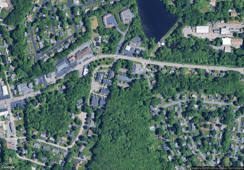
Map
Nearby Homes
- 14 Northgate Ct Unit 14
- 194 Worcester St
- 11 Hovey Pond Dr Unit 11
- 7 Hovey Pond Dr Unit 7
- 22 Beverly Rd
- 17 Hingham Rd
- 44 Meadow Ln
- 4 Westboro Rd
- 76 Samuel Dr
- 21 Lordvale Blvd Unit 406
- 5 Lincoln Ln Unit 5
- 0 East St
- 1 Hastings Ave
- 28 Lincoln Ln
- 46 John Dr Unit 46
- 5 Edward Dr
- 3 Abby Rd
- 15 Windle Ave
- 4 Winslow Ln Unit 1410
- 156 Brigham Hill Rd
- 2 Airport Rd Unit K
- 2 Airport Rd Unit J
- 2 Airport Rd Unit I
- 2 Airport Rd Unit H
- 2 Airport Rd Unit G
- 2 Airport Rd Unit F
- 2 Airport Rd Unit E
- 2 Airport Rd Unit D
- 2 Airport Rd Unit B
- 2 Airport Rd Unit A
- 2 Airport Rd Unit B 2
- 2 Airport Rd Unit J
- 2 Airport Rd
- 2 Airport Rd Unit 2,B
- 2 Airport Rd Unit 1
- 2 Airport Rd Unit 3
- 2-A Airport Rd Unit A 2
- 2 Airport Rd Unit 7
- 2 Airport Rd Unit H
- 5 Northgate Ct