2 Airport Rd Unit D North Grafton, MA 01536
Estimated Value: $368,000 - $408,000
2
Beds
2
Baths
1,690
Sq Ft
$226/Sq Ft
Est. Value
About This Home
This home is located at 2 Airport Rd Unit D, North Grafton, MA 01536 and is currently estimated at $382,283, approximately $226 per square foot. 2 Airport Rd Unit D is a home located in Worcester County with nearby schools including Grafton High School, Silver Spruce Montessori School, and Al-Hamra Academy.
Ownership History
Date
Name
Owned For
Owner Type
Purchase Details
Closed on
Aug 31, 1998
Sold by
Kubiak Brian J and Kubiak Nancy C
Bought by
Chartier Gerald P and Chartier Martha E
Current Estimated Value
Home Financials for this Owner
Home Financials are based on the most recent Mortgage that was taken out on this home.
Original Mortgage
$83,600
Outstanding Balance
$17,858
Interest Rate
6.9%
Mortgage Type
Purchase Money Mortgage
Estimated Equity
$364,425
Purchase Details
Closed on
Nov 2, 1995
Sold by
Clark Virginia and Clark Stephen
Bought by
Kubiak Brian and Kubiak Nancy
Create a Home Valuation Report for This Property
The Home Valuation Report is an in-depth analysis detailing your home's value as well as a comparison with similar homes in the area
Home Values in the Area
Average Home Value in this Area
Purchase History
| Date | Buyer | Sale Price | Title Company |
|---|---|---|---|
| Chartier Gerald P | $88,500 | -- | |
| Kubiak Brian | $80,000 | -- |
Source: Public Records
Mortgage History
| Date | Status | Borrower | Loan Amount |
|---|---|---|---|
| Open | Kubiak Brian | $83,600 |
Source: Public Records
Tax History Compared to Growth
Tax History
| Year | Tax Paid | Tax Assessment Tax Assessment Total Assessment is a certain percentage of the fair market value that is determined by local assessors to be the total taxable value of land and additions on the property. | Land | Improvement |
|---|---|---|---|---|
| 2025 | $4,137 | $296,800 | $0 | $296,800 |
| 2024 | $4,044 | $282,600 | $0 | $282,600 |
| 2023 | $3,984 | $253,600 | $0 | $253,600 |
| 2022 | $3,628 | $214,900 | $0 | $214,900 |
| 2021 | $3,604 | $209,800 | $0 | $209,800 |
| 2020 | $3,411 | $206,700 | $0 | $206,700 |
| 2019 | $2,727 | $163,700 | $0 | $163,700 |
| 2018 | $2,890 | $174,200 | $0 | $174,200 |
| 2017 | $2,511 | $153,100 | $0 | $153,100 |
| 2016 | $2,477 | $147,900 | $0 | $147,900 |
| 2015 | $2,633 | $159,600 | $0 | $159,600 |
| 2014 | $2,435 | $159,600 | $0 | $159,600 |
Source: Public Records
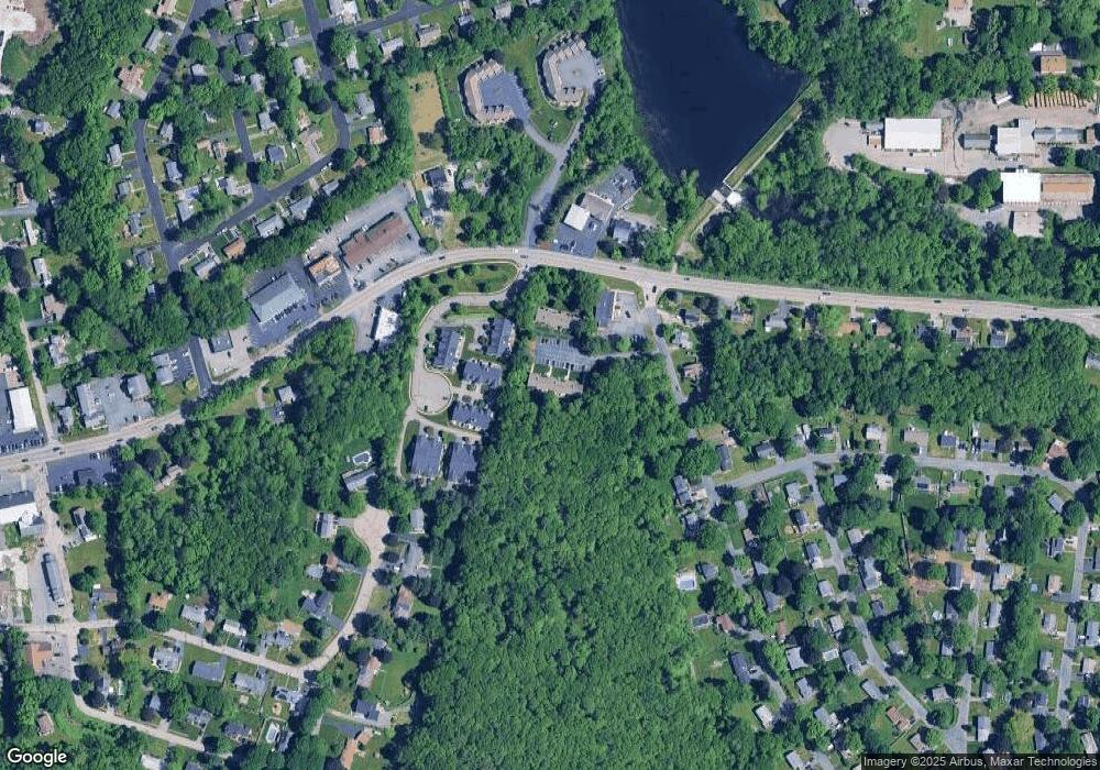
Map
Nearby Homes
- 14 Northgate Ct Unit 14
- 194 Worcester St
- 11 Hovey Pond Dr Unit 11
- 7 Hovey Pond Dr Unit 7
- 22 Beverly Rd
- 17 Hingham Rd
- 44 Meadow Ln
- 4 Westboro Rd
- 76 Samuel Dr
- 21 Lordvale Blvd Unit 406
- 5 Lincoln Ln Unit 5
- 0 East St
- 1 Hastings Ave
- 28 Lincoln Ln
- 46 John Dr Unit 46
- 5 Edward Dr
- 3 Abby Rd
- 15 Windle Ave
- 4 Winslow Ln Unit 1410
- 156 Brigham Hill Rd
- 2 Airport Rd Unit K
- 2 Airport Rd Unit J
- 2 Airport Rd Unit I
- 2 Airport Rd Unit H
- 2 Airport Rd Unit G
- 2 Airport Rd Unit F
- 2 Airport Rd Unit E
- 2 Airport Rd Unit C
- 2 Airport Rd Unit B
- 2 Airport Rd Unit A
- 2 Airport Rd Unit B 2
- 2 Airport Rd Unit J
- 2 Airport Rd
- 2 Airport Rd Unit 2,B
- 2 Airport Rd Unit 1
- 2 Airport Rd Unit 3
- 2-A Airport Rd Unit A 2
- 2 Airport Rd Unit 7
- 2 Airport Rd Unit H
- 5 Northgate Ct