2 Airport Rd Unit E North Grafton, MA 01536
Estimated Value: $350,000 - $393,000
2
Beds
2
Baths
1,219
Sq Ft
$306/Sq Ft
Est. Value
About This Home
This home is located at 2 Airport Rd Unit E, North Grafton, MA 01536 and is currently estimated at $372,930, approximately $305 per square foot. 2 Airport Rd Unit E is a home located in Worcester County with nearby schools including Grafton High School, Silver Spruce Montessori School, and Al-Hamra Academy.
Ownership History
Date
Name
Owned For
Owner Type
Purchase Details
Closed on
Sep 13, 2016
Sold by
Carabba Janice M
Bought by
Janice M Carabba 2011
Current Estimated Value
Purchase Details
Closed on
Jun 29, 2016
Sold by
Sullivan Amy B
Bought by
Carabba Janice M
Home Financials for this Owner
Home Financials are based on the most recent Mortgage that was taken out on this home.
Original Mortgage
$93,000
Interest Rate
3.58%
Mortgage Type
New Conventional
Purchase Details
Closed on
Apr 22, 2002
Sold by
Wilson Paul F
Bought by
Sullivan Amy B
Home Financials for this Owner
Home Financials are based on the most recent Mortgage that was taken out on this home.
Original Mortgage
$135,900
Interest Rate
6.85%
Mortgage Type
Purchase Money Mortgage
Purchase Details
Closed on
May 26, 1988
Sold by
Miller Ronald L
Bought by
Powell P B
Home Financials for this Owner
Home Financials are based on the most recent Mortgage that was taken out on this home.
Original Mortgage
$105,000
Interest Rate
10.18%
Mortgage Type
Purchase Money Mortgage
Create a Home Valuation Report for This Property
The Home Valuation Report is an in-depth analysis detailing your home's value as well as a comparison with similar homes in the area
Home Values in the Area
Average Home Value in this Area
Purchase History
| Date | Buyer | Sale Price | Title Company |
|---|---|---|---|
| Janice M Carabba 2011 | -- | -- | |
| Carabba Janice M | $205,000 | -- | |
| Sullivan Amy B | $169,900 | -- | |
| Powell P B | $120,000 | -- |
Source: Public Records
Mortgage History
| Date | Status | Borrower | Loan Amount |
|---|---|---|---|
| Previous Owner | Carabba Janice M | $93,000 | |
| Previous Owner | Powell P B | $135,900 | |
| Previous Owner | Powell P B | $37,000 | |
| Previous Owner | Powell P B | $105,000 |
Source: Public Records
Tax History Compared to Growth
Tax History
| Year | Tax Paid | Tax Assessment Tax Assessment Total Assessment is a certain percentage of the fair market value that is determined by local assessors to be the total taxable value of land and additions on the property. | Land | Improvement |
|---|---|---|---|---|
| 2025 | $4,335 | $311,000 | $0 | $311,000 |
| 2024 | $4,239 | $296,200 | $0 | $296,200 |
| 2023 | $4,174 | $265,700 | $0 | $265,700 |
| 2022 | $3,805 | $225,400 | $0 | $225,400 |
| 2021 | $3,780 | $220,000 | $0 | $220,000 |
| 2020 | $3,577 | $216,800 | $0 | $216,800 |
| 2019 | $2,864 | $171,900 | $0 | $171,900 |
| 2018 | $2,930 | $176,600 | $0 | $176,600 |
| 2017 | $2,547 | $155,300 | $0 | $155,300 |
| 2016 | $2,513 | $150,000 | $0 | $150,000 |
| 2015 | $2,671 | $161,900 | $0 | $161,900 |
| 2014 | $2,471 | $161,900 | $0 | $161,900 |
Source: Public Records
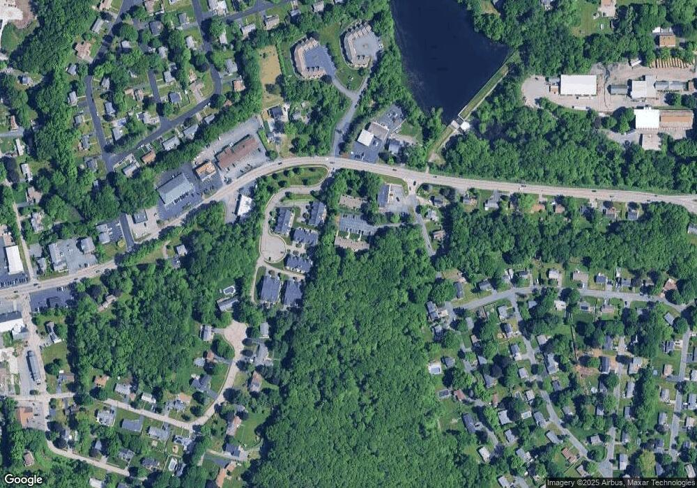
Map
Nearby Homes
- 14 Northgate Ct Unit 14
- 194 Worcester St
- 11 Hovey Pond Dr Unit 11
- 7 Hovey Pond Dr Unit 7
- 22 Beverly Rd
- 17 Hingham Rd
- 44 Meadow Ln
- 4 Westboro Rd
- 76 Samuel Dr
- 21 Lordvale Blvd Unit 406
- 5 Lincoln Ln Unit 5
- 0 East St
- 1 Hastings Ave
- 28 Lincoln Ln
- 46 John Dr Unit 46
- 5 Edward Dr
- 3 Abby Rd
- 15 Windle Ave
- 4 Winslow Ln Unit 1410
- 156 Brigham Hill Rd
- 2 Airport Rd Unit K
- 2 Airport Rd Unit J
- 2 Airport Rd Unit I
- 2 Airport Rd Unit H
- 2 Airport Rd Unit G
- 2 Airport Rd Unit F
- 2 Airport Rd Unit D
- 2 Airport Rd Unit C
- 2 Airport Rd Unit B
- 2 Airport Rd Unit A
- 2 Airport Rd Unit B 2
- 2 Airport Rd Unit J
- 2 Airport Rd
- 2 Airport Rd Unit 2,B
- 2 Airport Rd Unit 1
- 2 Airport Rd Unit 3
- 2-A Airport Rd Unit A 2
- 2 Airport Rd Unit 7
- 2 Airport Rd Unit H
- 5 Northgate Ct