2 Airport Rd Unit I North Grafton, MA 01536
Estimated Value: $368,000 - $408,000
2
Beds
2
Baths
1,219
Sq Ft
$318/Sq Ft
Est. Value
About This Home
This home is located at 2 Airport Rd Unit I, North Grafton, MA 01536 and is currently estimated at $388,131, approximately $318 per square foot. 2 Airport Rd Unit I is a home located in Worcester County with nearby schools including Grafton High School, Silver Spruce Montessori School, and Al-Hamra Academy.
Ownership History
Date
Name
Owned For
Owner Type
Purchase Details
Closed on
Jul 19, 1996
Sold by
Person Douglas E
Bought by
Mcconville Noreen E
Current Estimated Value
Home Financials for this Owner
Home Financials are based on the most recent Mortgage that was taken out on this home.
Original Mortgage
$65,000
Outstanding Balance
$4,716
Interest Rate
8.28%
Mortgage Type
Purchase Money Mortgage
Estimated Equity
$383,415
Purchase Details
Closed on
Apr 17, 1987
Sold by
Tapia Christian A
Bought by
Leist Daniel
Home Financials for this Owner
Home Financials are based on the most recent Mortgage that was taken out on this home.
Original Mortgage
$100,000
Interest Rate
8.97%
Mortgage Type
Purchase Money Mortgage
Create a Home Valuation Report for This Property
The Home Valuation Report is an in-depth analysis detailing your home's value as well as a comparison with similar homes in the area
Home Values in the Area
Average Home Value in this Area
Purchase History
| Date | Buyer | Sale Price | Title Company |
|---|---|---|---|
| Mcconville Noreen E | $82,000 | -- | |
| Leist Daniel | $127,500 | -- |
Source: Public Records
Mortgage History
| Date | Status | Borrower | Loan Amount |
|---|---|---|---|
| Open | Leist Daniel | $65,000 | |
| Previous Owner | Leist Daniel | $100,000 |
Source: Public Records
Tax History Compared to Growth
Tax History
| Year | Tax Paid | Tax Assessment Tax Assessment Total Assessment is a certain percentage of the fair market value that is determined by local assessors to be the total taxable value of land and additions on the property. | Land | Improvement |
|---|---|---|---|---|
| 2025 | $4,146 | $297,400 | $0 | $297,400 |
| 2024 | $4,053 | $283,200 | $0 | $283,200 |
| 2023 | $3,997 | $254,400 | $0 | $254,400 |
| 2022 | $3,643 | $215,800 | $0 | $215,800 |
| 2021 | $3,620 | $210,700 | $0 | $210,700 |
| 2020 | $3,425 | $207,600 | $0 | $207,600 |
| 2019 | $2,742 | $164,600 | $0 | $164,600 |
| 2018 | $2,880 | $173,600 | $0 | $173,600 |
| 2017 | $2,503 | $152,600 | $0 | $152,600 |
| 2016 | $2,469 | $147,400 | $0 | $147,400 |
| 2015 | $2,625 | $159,100 | $0 | $159,100 |
| 2014 | $2,428 | $159,100 | $0 | $159,100 |
Source: Public Records
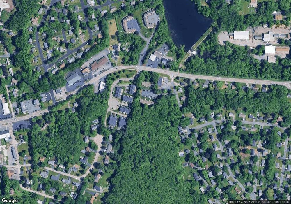
Map
Nearby Homes
- 14 Northgate Ct Unit 14
- 194 Worcester St
- 11 Hovey Pond Dr Unit 11
- 7 Hovey Pond Dr Unit 7
- 22 Beverly Rd
- 17 Hingham Rd
- 44 Meadow Ln
- 4 Westboro Rd
- 76 Samuel Dr
- 21 Lordvale Blvd Unit 406
- 5 Lincoln Ln Unit 5
- 0 East St
- 1 Hastings Ave
- 28 Lincoln Ln
- 46 John Dr Unit 46
- 5 Edward Dr
- 3 Abby Rd
- 15 Windle Ave
- 4 Winslow Ln Unit 1410
- 156 Brigham Hill Rd
- 2 Airport Rd Unit K
- 2 Airport Rd Unit J
- 2 Airport Rd Unit H
- 2 Airport Rd Unit G
- 2 Airport Rd Unit F
- 2 Airport Rd Unit E
- 2 Airport Rd Unit D
- 2 Airport Rd Unit C
- 2 Airport Rd Unit B
- 2 Airport Rd Unit A
- 2 Airport Rd Unit B 2
- 2 Airport Rd Unit J
- 2 Airport Rd
- 2 Airport Rd Unit 2,B
- 2 Airport Rd Unit 1
- 2 Airport Rd Unit 3
- 2-A Airport Rd Unit A 2
- 2 Airport Rd Unit 7
- 2 Airport Rd Unit H
- 5 Northgate Ct