2 Airport Rd Unit K North Grafton, MA 01536
Estimated Value: $370,000 - $400,000
2
Beds
2
Baths
1,219
Sq Ft
$317/Sq Ft
Est. Value
About This Home
This home is located at 2 Airport Rd Unit K, North Grafton, MA 01536 and is currently estimated at $386,141, approximately $316 per square foot. 2 Airport Rd Unit K is a home located in Worcester County with nearby schools including Grafton High School, Silver Spruce Montessori School, and Al-Hamra Academy.
Ownership History
Date
Name
Owned For
Owner Type
Purchase Details
Closed on
Jun 7, 2016
Sold by
Raphael Aaron and Raphael Samantha M
Bought by
Rezzuti William E
Current Estimated Value
Home Financials for this Owner
Home Financials are based on the most recent Mortgage that was taken out on this home.
Original Mortgage
$108,000
Outstanding Balance
$86,012
Interest Rate
3.59%
Mortgage Type
New Conventional
Estimated Equity
$300,129
Purchase Details
Closed on
Nov 13, 2009
Sold by
Raphael Aaron
Bought by
Raphael Aaron and Mann-Raphael Samantha
Home Financials for this Owner
Home Financials are based on the most recent Mortgage that was taken out on this home.
Original Mortgage
$135,000
Interest Rate
4.98%
Mortgage Type
Purchase Money Mortgage
Purchase Details
Closed on
Dec 5, 2003
Sold by
Miller Leonard C and Miller Marion K
Bought by
Raphael Aaron C
Home Financials for this Owner
Home Financials are based on the most recent Mortgage that was taken out on this home.
Original Mortgage
$160,000
Interest Rate
6.03%
Mortgage Type
Purchase Money Mortgage
Create a Home Valuation Report for This Property
The Home Valuation Report is an in-depth analysis detailing your home's value as well as a comparison with similar homes in the area
Home Values in the Area
Average Home Value in this Area
Purchase History
| Date | Buyer | Sale Price | Title Company |
|---|---|---|---|
| Rezzuti William E | $198,000 | -- | |
| Raphael Aaron | -- | -- | |
| Raphael Aaron C | $200,000 | -- |
Source: Public Records
Mortgage History
| Date | Status | Borrower | Loan Amount |
|---|---|---|---|
| Open | Rezzuti William E | $108,000 | |
| Previous Owner | Raphael Aaron | $135,000 | |
| Previous Owner | Raphael Aaron C | $160,000 |
Source: Public Records
Tax History Compared to Growth
Tax History
| Year | Tax Paid | Tax Assessment Tax Assessment Total Assessment is a certain percentage of the fair market value that is determined by local assessors to be the total taxable value of land and additions on the property. | Land | Improvement |
|---|---|---|---|---|
| 2025 | $4,314 | $309,500 | $0 | $309,500 |
| 2024 | $4,226 | $295,300 | $0 | $295,300 |
| 2023 | $4,191 | $266,800 | $0 | $266,800 |
| 2022 | $3,852 | $228,200 | $0 | $228,200 |
| 2021 | $3,833 | $223,100 | $0 | $223,100 |
| 2020 | $3,670 | $222,400 | $0 | $222,400 |
| 2019 | $2,982 | $179,000 | $0 | $179,000 |
| 2018 | $3,165 | $190,800 | $0 | $190,800 |
| 2017 | $2,709 | $165,200 | $0 | $165,200 |
| 2016 | $2,687 | $160,400 | $0 | $160,400 |
| 2015 | $2,846 | $172,500 | $0 | $172,500 |
| 2014 | $2,632 | $172,500 | $0 | $172,500 |
Source: Public Records
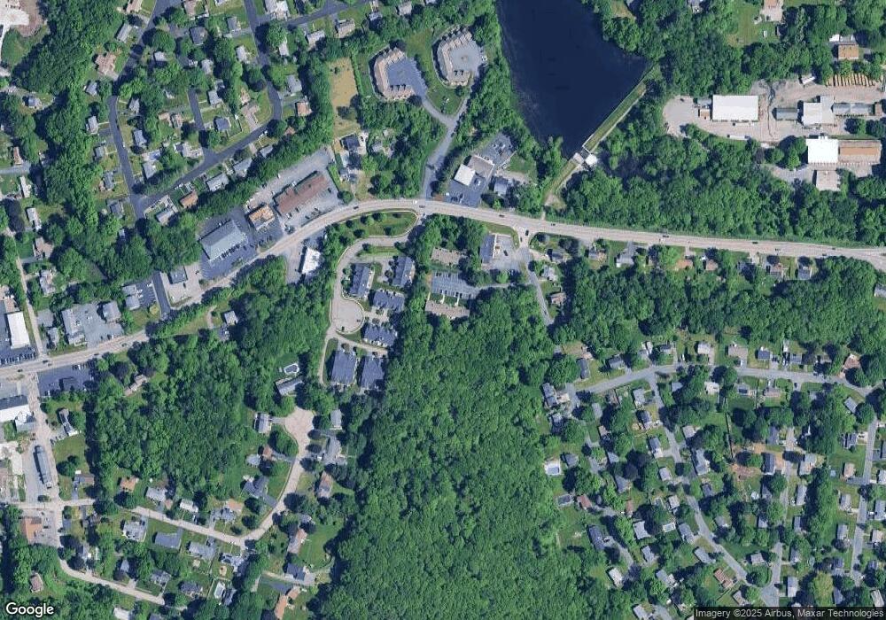
Map
Nearby Homes
- 14 Northgate Ct Unit 14
- 194 Worcester St
- 11 Hovey Pond Dr Unit 11
- 7 Hovey Pond Dr Unit 7
- 22 Beverly Rd
- 17 Hingham Rd
- 44 Meadow Ln
- 4 Westboro Rd
- 76 Samuel Dr
- 21 Lordvale Blvd Unit 406
- 5 Lincoln Ln Unit 5
- 0 East St
- 1 Hastings Ave
- 28 Lincoln Ln
- 46 John Dr Unit 46
- 5 Edward Dr
- 3 Abby Rd
- 15 Windle Ave
- 4 Winslow Ln Unit 1410
- 156 Brigham Hill Rd
- 2 Airport Rd Unit J
- 2 Airport Rd Unit I
- 2 Airport Rd Unit H
- 2 Airport Rd Unit G
- 2 Airport Rd Unit F
- 2 Airport Rd Unit E
- 2 Airport Rd Unit D
- 2 Airport Rd Unit C
- 2 Airport Rd Unit B
- 2 Airport Rd Unit A
- 2 Airport Rd Unit B 2
- 2 Airport Rd Unit J
- 2 Airport Rd
- 2 Airport Rd Unit 2,B
- 2 Airport Rd Unit 1
- 2 Airport Rd Unit 3
- 2-A Airport Rd Unit A 2
- 2 Airport Rd Unit 7
- 2 Airport Rd Unit H
- 5 Northgate Ct