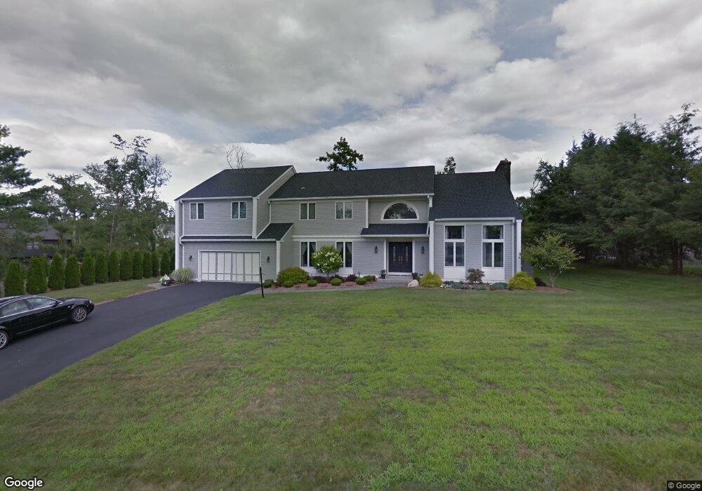
2 Alder Ln Wilbraham, MA 01095
Estimated Value: $714,282 - $818,000
4
Beds
3
Baths
3,900
Sq Ft
$199/Sq Ft
Est. Value
About This Home
This home is located at 2 Alder Ln, Wilbraham, MA 01095 and is currently estimated at $775,427, approximately $198 per square foot. 2 Alder Ln is a home located in Hampden County with nearby schools including Minnechaug Regional High School, Springfield International Charter School, and Wilbraham & Monson Academy.
Ownership History
Date
Name
Owned For
Owner Type
Purchase Details
Closed on
Sep 26, 2025
Sold by
Kahn Jason M
Bought by
Jason M Kahn Lt and Kahn
Current Estimated Value
Purchase Details
Closed on
Apr 8, 1986
Bought by
Kahn Jason M and Kahn Gina S
Create a Home Valuation Report for This Property
The Home Valuation Report is an in-depth analysis detailing your home's value as well as a comparison with similar homes in the area
Home Values in the Area
Average Home Value in this Area
Purchase History
| Date | Buyer | Sale Price | Title Company |
|---|---|---|---|
| Jason M Kahn Lt | -- | -- | |
| Kahn Jason M | $30,000 | -- |
Source: Public Records
Mortgage History
| Date | Status | Borrower | Loan Amount |
|---|---|---|---|
| Previous Owner | Kahn Jason M | $120,000 | |
| Previous Owner | Kahn Jason M | $700,000 | |
| Previous Owner | Kahn Jason M | $145,000 |
Source: Public Records
Tax History Compared to Growth
Tax History
| Year | Tax Paid | Tax Assessment Tax Assessment Total Assessment is a certain percentage of the fair market value that is determined by local assessors to be the total taxable value of land and additions on the property. | Land | Improvement |
|---|---|---|---|---|
| 2025 | $11,685 | $653,500 | $123,000 | $530,500 |
| 2024 | $10,786 | $583,000 | $123,000 | $460,000 |
| 2023 | $10,285 | $550,000 | $123,000 | $427,000 |
| 2022 | $10,118 | $493,800 | $123,000 | $370,800 |
| 2021 | $10,027 | $436,700 | $131,300 | $305,400 |
| 2020 | $9,773 | $436,700 | $131,300 | $305,400 |
| 2019 | $9,520 | $436,700 | $131,300 | $305,400 |
| 2018 | $10,380 | $458,500 | $131,300 | $327,200 |
| 2017 | $10,087 | $458,500 | $131,300 | $327,200 |
| 2016 | $9,558 | $442,500 | $135,600 | $306,900 |
| 2015 | $9,239 | $442,500 | $135,600 | $306,900 |
Source: Public Records
Map
Nearby Homes
- 767 Stony Hill Rd
- 763 Stony Hill Rd
- 14 Brookdale Dr
- 1028 Tinkham Rd
- 8 Patriot Ridge Ln
- 5 Edgewood Rd
- 68 Monson Rd
- 6 Katie St
- 500 Springfield St
- 2 Bayberry Dr Unit 51
- 28 Decorie Dr
- 6 Hilltop Park
- 11 Wellfleet Dr
- 12 Highridge Rd
- 99 Sandalwood Dr Unit site 00
- 751 Ridge Rd
- 103 Sandalwood Dr Unit site 00
- 474 Mountain Rd
- 111 Sandalwood Dr Unit site 00
- 57 Sandalwood Dr Unit site 61
- 11 Winterberry Dr
- 14 Bittersweet Ln
- 12 Bittersweet Ln
- 15 Winterberry Dr
- 1 Alder Ln
- 7 Winterberry Dr
- 16 Bittersweet Ln
- 10 Bittersweet Ln
- 12 Winterberry Dr
- 10 Winterberry Dr
- 17 Winterberry Dr
- 11 Bittersweet Ln
- 5 Winterberry Dr
- 14 Winterberry Dr
- 8 Winterberry Dr
- 8 Bittersweet Ln
- 6 Winterberry Dr
- 16 Winterberry Dr
- 9 Bittersweet Ln
- 3 Winterberry Dr