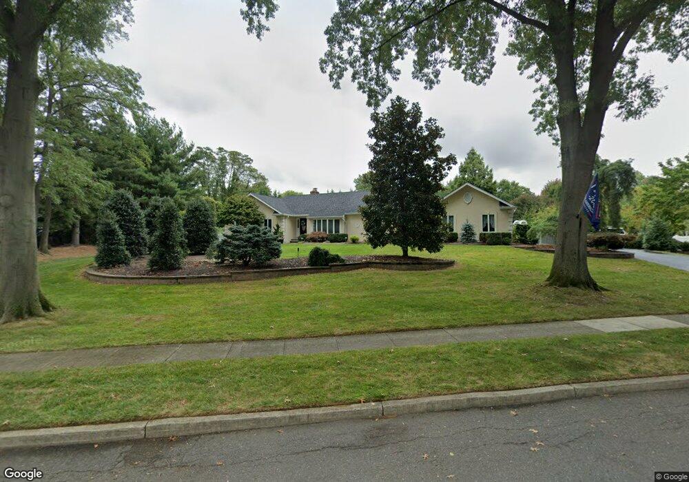
2 Allaire Ave Middletown, NJ 07748
New Monmouth NeighborhoodEstimated Value: $973,905 - $1,150,000
3
Beds
3
Baths
2,565
Sq Ft
$407/Sq Ft
Est. Value
About This Home
This home is located at 2 Allaire Ave, Middletown, NJ 07748 and is currently estimated at $1,043,976, approximately $407 per square foot. 2 Allaire Ave is a home located in Monmouth County with nearby schools including Nut Swamp Elementary School, Thompson Middle School, and Middletown - South High School.
Ownership History
Date
Name
Owned For
Owner Type
Purchase Details
Closed on
Apr 30, 2013
Sold by
Defoto Peter J and Defoto Debra
Bought by
Defoto Peter J and Defoto Denorah M
Current Estimated Value
Home Financials for this Owner
Home Financials are based on the most recent Mortgage that was taken out on this home.
Original Mortgage
$150,000
Interest Rate
2.79%
Mortgage Type
New Conventional
Create a Home Valuation Report for This Property
The Home Valuation Report is an in-depth analysis detailing your home's value as well as a comparison with similar homes in the area
Home Values in the Area
Average Home Value in this Area
Purchase History
| Date | Buyer | Sale Price | Title Company |
|---|---|---|---|
| Defoto Peter J | -- | None Available |
Source: Public Records
Mortgage History
| Date | Status | Borrower | Loan Amount |
|---|---|---|---|
| Closed | Defoto Peter J | $150,000 |
Source: Public Records
Tax History Compared to Growth
Tax History
| Year | Tax Paid | Tax Assessment Tax Assessment Total Assessment is a certain percentage of the fair market value that is determined by local assessors to be the total taxable value of land and additions on the property. | Land | Improvement |
|---|---|---|---|---|
| 2025 | $14,844 | $987,500 | $501,800 | $485,700 |
| 2024 | $13,732 | $902,400 | $419,800 | $482,600 |
| 2023 | $13,732 | $790,100 | $335,300 | $454,800 |
| 2022 | $12,350 | $729,700 | $285,800 | $443,900 |
| 2021 | $12,350 | $653,600 | $258,800 | $394,800 |
| 2020 | $13,886 | $649,500 | $258,800 | $390,700 |
| 2019 | $13,669 | $647,200 | $258,800 | $388,400 |
| 2018 | $14,291 | $659,500 | $258,800 | $400,700 |
| 2017 | $13,749 | $647,300 | $258,800 | $388,500 |
| 2016 | $13,513 | $634,100 | $281,300 | $352,800 |
| 2015 | $12,810 | $611,400 | $263,300 | $348,100 |
| 2014 | $12,530 | $572,400 | $254,300 | $318,100 |
Source: Public Records
Map
Nearby Homes
- 17 Terry Ln
- 911 Middletown Lincroft Rd
- 83 Green Meadow Blvd
- 7 Cormorant Dr
- 20 Cormorant Dr
- 234 Borden Rd
- 74 Fish Hawk Dr
- 185 Ballantine Rd
- 7 Boxwood Terrace Unit 250
- 11 Mayflower Dr
- 59 Boxwood Terrace
- 164 Arrowwood Ct
- 246 Sunnyside Rd
- 80 Boxwood Terrace
- 50 Hancock Ct Unit 129B
- 60 Privet Place
- 1476 W Front St
- 45 Turnberry Dr
- 60 Falmouth Ct
- 1497 W Front St
- 25 Terry Ln
- 6 Allaire Ave
- 1 Allaire Ave
- 1 Marcshire Dr
- 871 Middletown Lincroft Rd
- 21 Terry Ln
- 29 Terry Ln
- 5 Allaire Ave
- 2 Marcshire Dr
- 861 Middletown Lincroft Rd
- 10 Allaire Ave
- 11 Marcshire Dr
- 851 Middletown Lincroft Rd
- 901 Middletown Lincroft Rd
- 9 Allaire Ave
- 38 Doranne Ln
- 34 Doranne Ln
- 15 Nedshire Dr
- 28 Terry Ln
- 12 Marcshire Dr