2 Allyson Way Sterling, MA 01564
Estimated Value: $740,357 - $900,000
4
Beds
3
Baths
2,586
Sq Ft
$315/Sq Ft
Est. Value
About This Home
This home is located at 2 Allyson Way, Sterling, MA 01564 and is currently estimated at $815,839, approximately $315 per square foot. 2 Allyson Way is a home located in Worcester County with nearby schools including Wachusett Regional High School and South Lancaster Academy.
Ownership History
Date
Name
Owned For
Owner Type
Purchase Details
Closed on
Jun 28, 2004
Sold by
Redstone Hill Rt and Corrinne Cherene M
Bought by
Heimberg Carolyn
Current Estimated Value
Home Financials for this Owner
Home Financials are based on the most recent Mortgage that was taken out on this home.
Original Mortgage
$391,920
Outstanding Balance
$197,077
Interest Rate
6.32%
Mortgage Type
Purchase Money Mortgage
Estimated Equity
$618,762
Create a Home Valuation Report for This Property
The Home Valuation Report is an in-depth analysis detailing your home's value as well as a comparison with similar homes in the area
Home Values in the Area
Average Home Value in this Area
Purchase History
| Date | Buyer | Sale Price | Title Company |
|---|---|---|---|
| Heimberg Carolyn | $489,900 | -- |
Source: Public Records
Mortgage History
| Date | Status | Borrower | Loan Amount |
|---|---|---|---|
| Open | Heimberg Carolyn | $391,920 |
Source: Public Records
Tax History
| Year | Tax Paid | Tax Assessment Tax Assessment Total Assessment is a certain percentage of the fair market value that is determined by local assessors to be the total taxable value of land and additions on the property. | Land | Improvement |
|---|---|---|---|---|
| 2025 | $9,060 | $703,400 | $159,700 | $543,700 |
| 2024 | $9,030 | $678,400 | $159,700 | $518,700 |
| 2023 | $8,404 | $587,700 | $160,600 | $427,100 |
| 2022 | $7,622 | $499,800 | $138,800 | $361,000 |
| 2021 | $7,872 | $476,500 | $138,800 | $337,700 |
| 2020 | $7,976 | $474,500 | $138,800 | $335,700 |
| 2019 | $7,583 | $439,100 | $138,800 | $300,300 |
| 2018 | $7,737 | $441,100 | $144,900 | $296,200 |
| 2017 | $7,392 | $410,000 | $134,400 | $275,600 |
| 2016 | $7,264 | $396,300 | $134,400 | $261,900 |
| 2015 | $6,449 | $373,000 | $123,200 | $249,800 |
| 2014 | $6,200 | $366,200 | $123,200 | $243,000 |
Source: Public Records
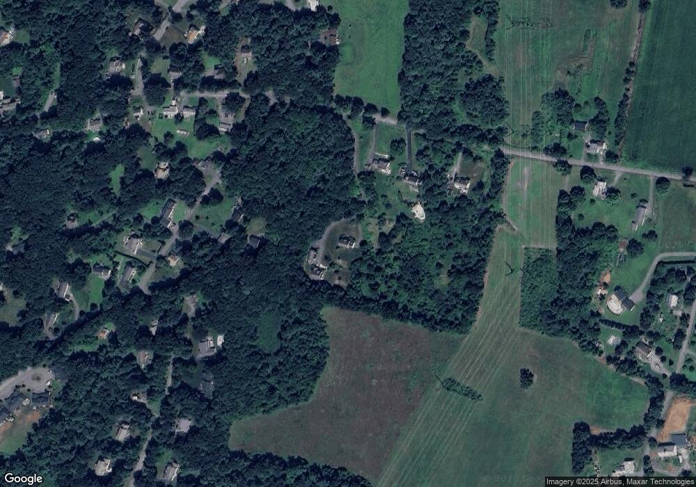
Map
Nearby Homes
- 60 Redstone Hill Rd
- 41 Clinton Rd
- 5 James Patten Dr
- 14 School St
- 134 Leominster Rd
- 5 Pine Woods Ln
- 30 S Meadow Rd
- 12 Cole Farm Rd
- 503 Hilltop Rd
- 4 Jewett Rd Unit 4
- 111 Goss Ln
- 8 Highland St
- 223 Worcester Rd
- 6 Jewett Rd Unit 6
- 4 Gates Terrace
- 0 Parker Rd
- 229 Sterling St
- 21 Myrtle Ave
- 15 Myrtle Ave
- 197 Woodlawn St
- 2 Allyson Way
- 1 Allyson Way
- 73 Redstone Hill Rd
- 75 Redstone Hill Rd
- 69 Redstone Place
- 65 Redstone Place
- 61 Redstone Place
- 77 Redstone Hill Rd
- 2 Matthew Ln
- 57 Redstone Place
- 70 Redstone Place
- 69 Redstone Hill Rd
- 4 Matthew Ln
- 54 Redstone Place
- 67 Redstone Hill Rd
- 6 Matthew Ln
- 62 Redstone Hill Rd
- 3 Davis Ledge Rd
- 50 Redstone Place
- 56 Redstone Place
Your Personal Tour Guide
Ask me questions while you tour the home.