2 Amanda Way Groton, MA 01450
Estimated Value: $884,000 - $944,000
4
Beds
3
Baths
2,707
Sq Ft
$340/Sq Ft
Est. Value
About This Home
This home is located at 2 Amanda Way, Groton, MA 01450 and is currently estimated at $921,653, approximately $340 per square foot. 2 Amanda Way is a home located in Middlesex County with nearby schools including Groton Dunstable Regional High School, Seven Hills At Groton, and Lawrence Academy.
Ownership History
Date
Name
Owned For
Owner Type
Purchase Details
Closed on
Dec 3, 2014
Sold by
Costa Stephanie P and Kozacka Jason S
Bought by
Kozacka Jason S and Kozacka Stephanie P
Current Estimated Value
Purchase Details
Closed on
Sep 3, 2014
Sold by
Millstone Hill Nt and Patierno
Bought by
Kozacka Jason S and Costa Stephanie P
Home Financials for this Owner
Home Financials are based on the most recent Mortgage that was taken out on this home.
Original Mortgage
$500,000
Interest Rate
4.12%
Mortgage Type
New Conventional
Create a Home Valuation Report for This Property
The Home Valuation Report is an in-depth analysis detailing your home's value as well as a comparison with similar homes in the area
Home Values in the Area
Average Home Value in this Area
Purchase History
| Date | Buyer | Sale Price | Title Company |
|---|---|---|---|
| Kozacka Jason S | -- | -- | |
| Kozacka Jason S | -- | -- | |
| Kozacka Jason S | $509,000 | -- | |
| Kozacka Jason S | $509,000 | -- |
Source: Public Records
Mortgage History
| Date | Status | Borrower | Loan Amount |
|---|---|---|---|
| Previous Owner | Kozacka Jason S | $500,000 |
Source: Public Records
Tax History Compared to Growth
Tax History
| Year | Tax Paid | Tax Assessment Tax Assessment Total Assessment is a certain percentage of the fair market value that is determined by local assessors to be the total taxable value of land and additions on the property. | Land | Improvement |
|---|---|---|---|---|
| 2025 | $12,191 | $799,400 | $236,800 | $562,600 |
| 2024 | $12,300 | $815,100 | $236,800 | $578,300 |
| 2023 | $11,649 | $744,800 | $236,800 | $508,000 |
| 2022 | $10,886 | $633,300 | $218,000 | $415,300 |
| 2021 | $10,669 | $606,200 | $197,500 | $408,700 |
| 2020 | $10,664 | $613,600 | $209,500 | $404,100 |
| 2019 | $9,917 | $547,600 | $199,200 | $348,400 |
| 2018 | $9,863 | $528,300 | $199,200 | $329,100 |
| 2017 | $9,961 | $545,500 | $216,400 | $329,100 |
| 2016 | $9,176 | $488,600 | $176,300 | $312,300 |
| 2015 | $8,927 | $488,600 | $176,300 | $312,300 |
Source: Public Records
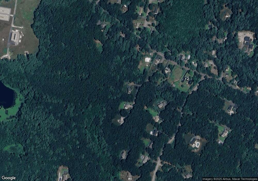
Map
Nearby Homes
- 23 Mccarthy Dr
- 21 Heritage Ln
- 10 Groton Rd Unit C1
- 0 Arrow Trail
- 61 Arrow Trail
- 55 Wenuchas Trail
- 6 Little Hollow Ln
- 34 West St
- 12 Brookfield Dr Unit A
- 40 Hemlock Park Dr
- 35 Oxbow Ln
- 0 Old Dunstable Rd
- 26 New Pond Rd
- 12 Oriole Dr
- 7 Dempsey Way
- 222 Forge Village Rd
- 66 N Main St Unit 66
- 64 N Main St Unit 64
- 3 Hillside Ave
- 10 Lynwood Ln
- 2 Amanda Way
- 2 Amanda Way Unit 1
- 2 Amanda Way
- 4 Amanda Way
- 6 Amanda Way
- 952 Lowell Rd
- 20 Painted Post Rd
- 9 Amanda's Way
- 30 Painted Post Rd
- 7 Amanda's Way Unit 7
- 948 Lowell Rd
- 960 Lowell Rd
- 966 Lowell Rd
- 34 Painted Post Rd
- 936 Lowell Rd
- 936 Lowell Rd Unit 1
- 963 Lowell Rd
- 38 Painted Post Rd
- 980 Lowell Rd
- 7 Mccarthy Dr