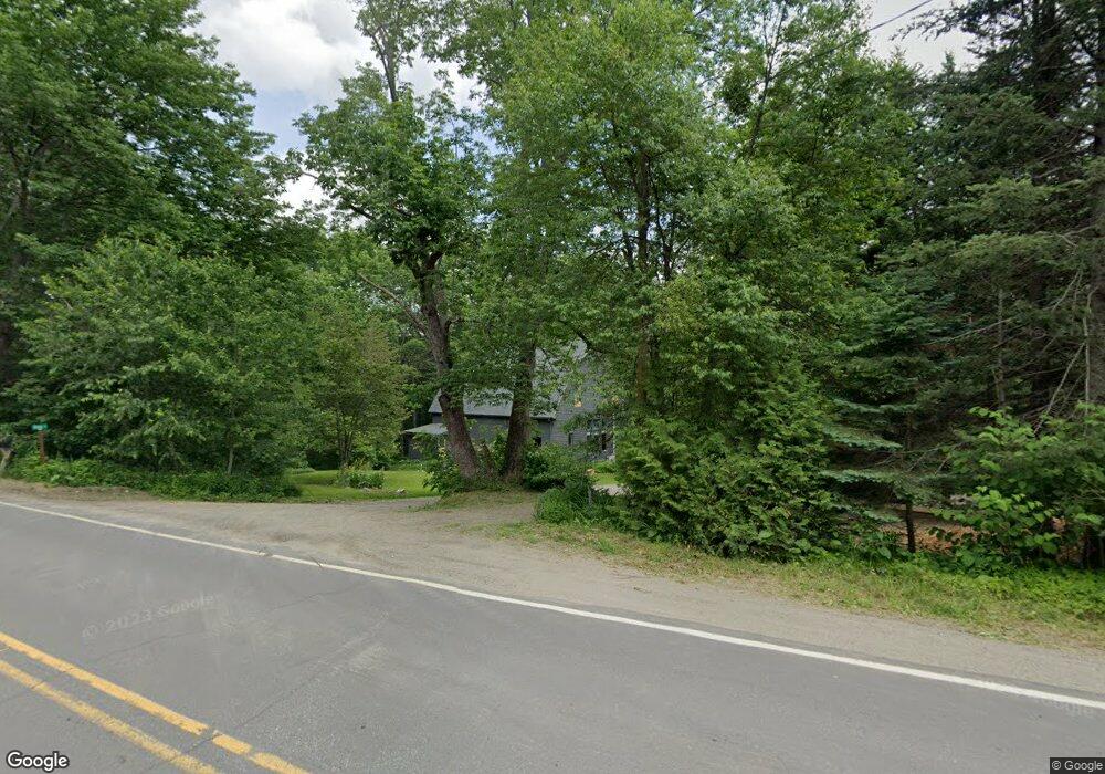
2 Ames Ln Jefferson, ME 04348
Estimated Value: $312,000 - $516,000
3
Beds
2
Baths
2,100
Sq Ft
$190/Sq Ft
Est. Value
About This Home
This home is located at 2 Ames Ln, Jefferson, ME 04348 and is currently estimated at $398,857, approximately $189 per square foot. 2 Ames Ln is a home located in Lincoln County with nearby schools including Jefferson Village School.
Ownership History
Date
Name
Owned For
Owner Type
Purchase Details
Closed on
Jan 19, 2023
Sold by
Ames Robert V
Bought by
Mess Jonathan and Mess Katherine
Current Estimated Value
Purchase Details
Closed on
Apr 16, 2021
Sold by
Mess Katherine E and Mess Jonathan J
Bought by
Mess Jonathan J and Mess Katherine E
Home Financials for this Owner
Home Financials are based on the most recent Mortgage that was taken out on this home.
Original Mortgage
$145,000
Interest Rate
3%
Mortgage Type
Purchase Money Mortgage
Purchase Details
Closed on
Oct 18, 2010
Sold by
Corp Trevor J
Bought by
Bauman Katherine E and Mess Jonathan
Home Financials for this Owner
Home Financials are based on the most recent Mortgage that was taken out on this home.
Original Mortgage
$140,000
Interest Rate
4.36%
Mortgage Type
Purchase Money Mortgage
Create a Home Valuation Report for This Property
The Home Valuation Report is an in-depth analysis detailing your home's value as well as a comparison with similar homes in the area
Home Values in the Area
Average Home Value in this Area
Purchase History
| Date | Buyer | Sale Price | Title Company |
|---|---|---|---|
| Mess Jonathan | $135,000 | None Available | |
| Mess Jonathan J | -- | None Available | |
| Bauman Katherine E | -- | -- |
Source: Public Records
Mortgage History
| Date | Status | Borrower | Loan Amount |
|---|---|---|---|
| Previous Owner | Mess Jonathan J | $145,000 | |
| Previous Owner | Bauman Katherine E | $140,000 |
Source: Public Records
Tax History
| Year | Tax Paid | Tax Assessment Tax Assessment Total Assessment is a certain percentage of the fair market value that is determined by local assessors to be the total taxable value of land and additions on the property. | Land | Improvement |
|---|---|---|---|---|
| 2025 | $4,441 | $301,100 | $56,900 | $244,200 |
| 2024 | $3,646 | $301,100 | $56,900 | $244,200 |
| 2023 | $3,406 | $207,700 | $39,200 | $168,500 |
| 2022 | $3,126 | $207,700 | $39,200 | $168,500 |
| 2021 | $2,991 | $207,700 | $39,200 | $168,500 |
| 2020 | $2,929 | $207,700 | $39,200 | $168,500 |
| 2019 | $2,742 | $207,700 | $39,200 | $168,500 |
| 2018 | $2,664 | $206,500 | $39,200 | $167,300 |
| 2017 | $2,646 | $207,500 | $39,200 | $168,300 |
| 2016 | $2,605 | $204,300 | $39,200 | $165,100 |
| 2015 | $2,531 | $202,500 | $39,200 | $163,300 |
| 2014 | $2,441 | $203,400 | $39,200 | $164,200 |
Source: Public Records
Map
Nearby Homes
- 862 W Neck Rd
- 0 Wood Rd
- 0 S South Clary Rd Unit 1652877
- p/o L17-2 Hemlock Park Dr
- 1279 S Clary Rd
- 1444 S Clary Rd
- 784 E Pond Rd
- Lot 7J Badger Way
- 53 Atkins Rd
- 17 Heron Cove Rd
- 330 E Pond Rd
- 313 W Neck Rd
- 175 Milliken Island Rd
- 106 Eugley Hill Rd
- Lot 1 Willow Way
- Lot#009-02 Powderhorn Rd
- 16 Shady Ln
- lot 2 Willow Way
- 189 Hinks Rd
- 615 N Nobleboro Rd
- 0 Ames Ln
- 02 Ames Ln
- 1079 Bunker Hill Rd
- 1097 Bunker Hill Rd
- 38 Vose Rd
- 15 Vose Rd
- 1060 Bunker Hill Rd
- 1120 Bunker Hill Rd
- 1120 Bunker Hill Rd
- 00 Ames Ln
- 18 Vose Rd
- 1146 Bunker Hill Rd
- 9 Punk Point Rd
- 76 Rolerson Ave
- 2 Deer Jump Rd
- 64-a Ames Ln
- 64 Ames Ln
- 10 Punk Point Rd
- 0 Punk Point Rd
- 12 Punk Point Rd
Your Personal Tour Guide
Ask me questions while you tour the home.