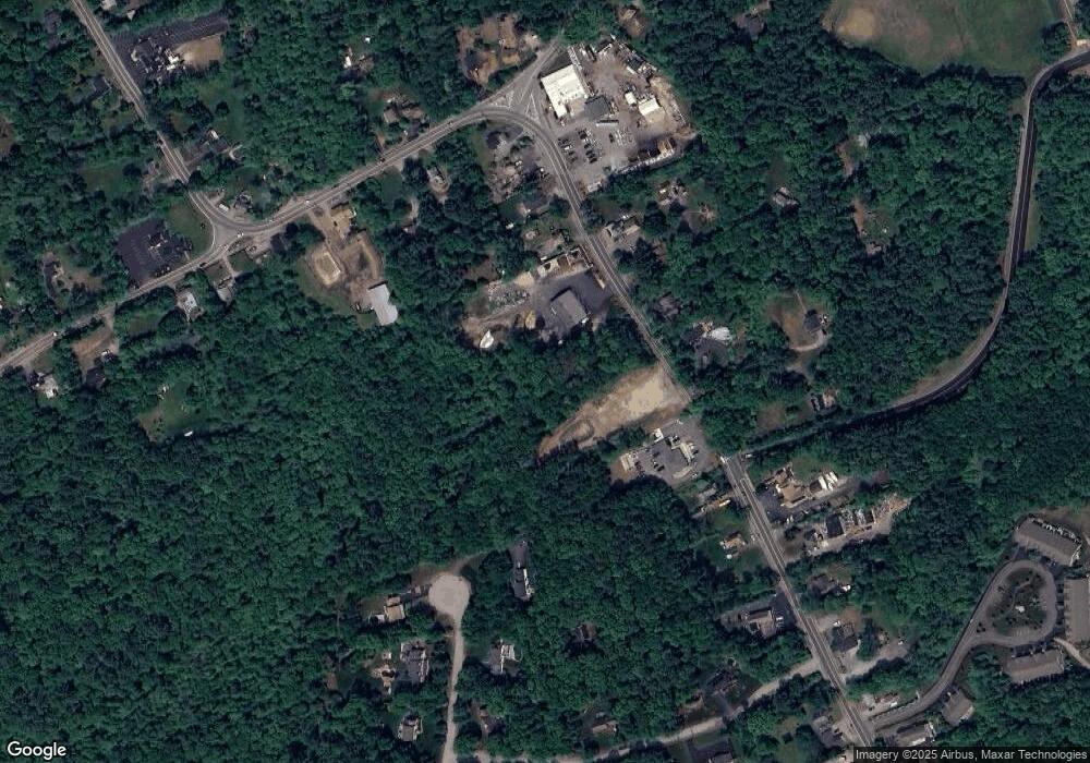
2 Anglers Way East Bridgewater, MA 02333
Estimated Value: $834,000 - $1,048,000
4
Beds
3
Baths
3,482
Sq Ft
$273/Sq Ft
Est. Value
About This Home
This home is located at 2 Anglers Way, East Bridgewater, MA 02333 and is currently estimated at $949,715, approximately $272 per square foot. 2 Anglers Way is a home located in Plymouth County with nearby schools including Central Elementary School, Gordon W Mitchell Middle School, and East Bridgewater Jr./Sr. High School.
Ownership History
Date
Name
Owned For
Owner Type
Purchase Details
Closed on
Dec 29, 2005
Sold by
Allen Linda and Allen Robert
Bought by
Heap Robert D and Heap Jennifer C
Current Estimated Value
Home Financials for this Owner
Home Financials are based on the most recent Mortgage that was taken out on this home.
Original Mortgage
$364,000
Interest Rate
6.39%
Mortgage Type
Purchase Money Mortgage
Create a Home Valuation Report for This Property
The Home Valuation Report is an in-depth analysis detailing your home's value as well as a comparison with similar homes in the area
Home Values in the Area
Average Home Value in this Area
Purchase History
| Date | Buyer | Sale Price | Title Company |
|---|---|---|---|
| Heap Robert D | $125,000 | -- |
Source: Public Records
Mortgage History
| Date | Status | Borrower | Loan Amount |
|---|---|---|---|
| Open | Heap Robert D | $70,000 | |
| Open | Heap Robert D | $359,800 | |
| Closed | Heap Robert D | $364,000 |
Source: Public Records
Tax History Compared to Growth
Tax History
| Year | Tax Paid | Tax Assessment Tax Assessment Total Assessment is a certain percentage of the fair market value that is determined by local assessors to be the total taxable value of land and additions on the property. | Land | Improvement |
|---|---|---|---|---|
| 2025 | $12,278 | $898,200 | $267,200 | $631,000 |
| 2024 | $12,057 | $871,200 | $257,100 | $614,100 |
| 2023 | $11,806 | $817,000 | $257,100 | $559,900 |
| 2022 | $11,199 | $717,900 | $216,800 | $501,100 |
| 2021 | $6,507 | $647,000 | $208,300 | $438,700 |
| 2020 | $6,179 | $637,700 | $210,800 | $426,900 |
| 2019 | $10,766 | $613,100 | $201,400 | $411,700 |
| 2018 | $10,375 | $611,700 | $201,400 | $410,300 |
| 2017 | $10,749 | $587,400 | $192,100 | $395,300 |
| 2016 | $10,377 | $571,400 | $192,000 | $379,400 |
| 2015 | $10,033 | $564,900 | $191,500 | $373,400 |
| 2014 | $9,694 | $558,100 | $187,600 | $370,500 |
Source: Public Records
Map
Nearby Homes
- 1121 Auburn St
- 877 Auburnville Way Unit D4
- 26 Alger St
- 99 Alger St
- 728 Auburn St Unit F6
- 307 Homeland Dr
- 262 Homeland Dr
- 32 Joyce Terrace
- 618 Auburn St
- 11 Glenwood St
- 104 Crestfield Dr
- 93 Porter St
- 25 Plain St
- 205 Bedford St
- 485 Temple St
- 848 N Bedford St Phase III
- 848 N Bedford St Phase IV
- 848 N
- 848 N Bedford St
- 12 Paulin Ave
- 162 Winter St
- 120 Little Comfort Cir
- 136 Captain Allen Way
- 110 Little Comfort Cir
- 100 Little Comfort Cir
- 88 Little Comfort Cir
- 118 Captain Allen Way
- 120 Captain Allen Way
- 111 Little Comfort Cir
- 141 Captain Allen Way
- 99 Little Comfort Cir
- 121 Captain Allen Way
- 11 Winterfield Dr
- 112 Winter St
- 151 Captain Allen Way
- 10 Winterfield Dr
- 142 Winter St
- 171 Captain Allen Way
- 61 Little Comfort Cir
- 92 Winter St
