2 Apple Ln Simsbury, CT 06070
Estimated Value: $752,000 - $940,000
5
Beds
4
Baths
3,200
Sq Ft
$260/Sq Ft
Est. Value
About This Home
This home is located at 2 Apple Ln, Simsbury, CT 06070 and is currently estimated at $831,189, approximately $259 per square foot. 2 Apple Ln is a home located in Hartford County with nearby schools including Squadron Line School, Henry James Memorial School, and Simsbury High School.
Ownership History
Date
Name
Owned For
Owner Type
Purchase Details
Closed on
Feb 27, 2024
Sold by
Elmer Daniel M and Elmer Patricia M
Bought by
Elmer Daniel M
Current Estimated Value
Purchase Details
Closed on
Jun 9, 2003
Sold by
Goodrich Samuel B and Goodrich Kathlene J
Bought by
Elmer Daniel M and Mastriano Patricia M
Home Financials for this Owner
Home Financials are based on the most recent Mortgage that was taken out on this home.
Original Mortgage
$322,700
Interest Rate
5.83%
Mortgage Type
Purchase Money Mortgage
Purchase Details
Closed on
Jun 25, 1999
Sold by
Zabilansky Donald R and Zabilansky Mary E
Bought by
Goodrich Samuel B and Goodrich Kathleen J
Purchase Details
Closed on
Nov 15, 1990
Sold by
Mccormick Robert
Bought by
Zabilansky Donald
Create a Home Valuation Report for This Property
The Home Valuation Report is an in-depth analysis detailing your home's value as well as a comparison with similar homes in the area
Home Values in the Area
Average Home Value in this Area
Purchase History
| Date | Buyer | Sale Price | Title Company |
|---|---|---|---|
| Elmer Daniel M | -- | None Available | |
| Elmer Daniel M | $550,000 | -- | |
| Goodrich Samuel B | $477,000 | -- | |
| Zabilansky Donald | $359,000 | -- |
Source: Public Records
Mortgage History
| Date | Status | Borrower | Loan Amount |
|---|---|---|---|
| Previous Owner | Zabilansky Donald | $50,831 | |
| Previous Owner | Zabilansky Donald | $245,100 | |
| Previous Owner | Zabilansky Donald | $322,700 |
Source: Public Records
Tax History
| Year | Tax Paid | Tax Assessment Tax Assessment Total Assessment is a certain percentage of the fair market value that is determined by local assessors to be the total taxable value of land and additions on the property. | Land | Improvement |
|---|---|---|---|---|
| 2025 | $15,796 | $462,420 | $113,120 | $349,300 |
| 2024 | $15,403 | $462,420 | $113,120 | $349,300 |
| 2023 | $14,714 | $462,420 | $113,120 | $349,300 |
| 2022 | $14,404 | $372,880 | $131,700 | $241,180 |
| 2021 | $14,404 | $372,880 | $131,700 | $241,180 |
| 2020 | $13,830 | $372,880 | $131,700 | $241,180 |
| 2019 | $13,916 | $372,880 | $131,700 | $241,180 |
| 2018 | $14,017 | $372,880 | $131,700 | $241,180 |
| 2017 | $14,051 | $362,520 | $143,710 | $218,810 |
| 2016 | $13,457 | $362,520 | $143,710 | $218,810 |
| 2015 | $13,457 | $362,520 | $143,710 | $218,810 |
| 2014 | $13,464 | $362,520 | $143,710 | $218,810 |
Source: Public Records
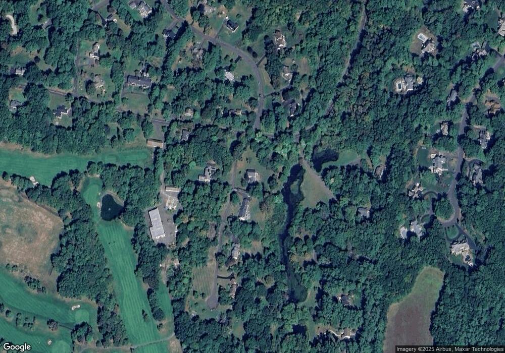
Map
Nearby Homes
- 2 Lionel Dr
- 7 Grimes Brook Place
- 18 Meadowlark Rd
- 40 Firetown Rd Unit 22
- 30 Southbridge Ct Unit 30
- 60 Barry Ln
- 42 Library Ln Unit 42
- 9 1/2 E Tomstead Rd
- 1 West St Unit 112
- 10 Pasture Ln
- 10 Massaco St Unit G
- 31 Oxford Ct
- 324 Old Farms Rd
- 2 Meadow Ct
- 21 North Dr
- 59 Cambridge Ct
- 15 Sand Hill Rd
- 301 Bushy Hill Rd
- 10 Sunrise Terrace
- 24 Hunting Ridge Dr