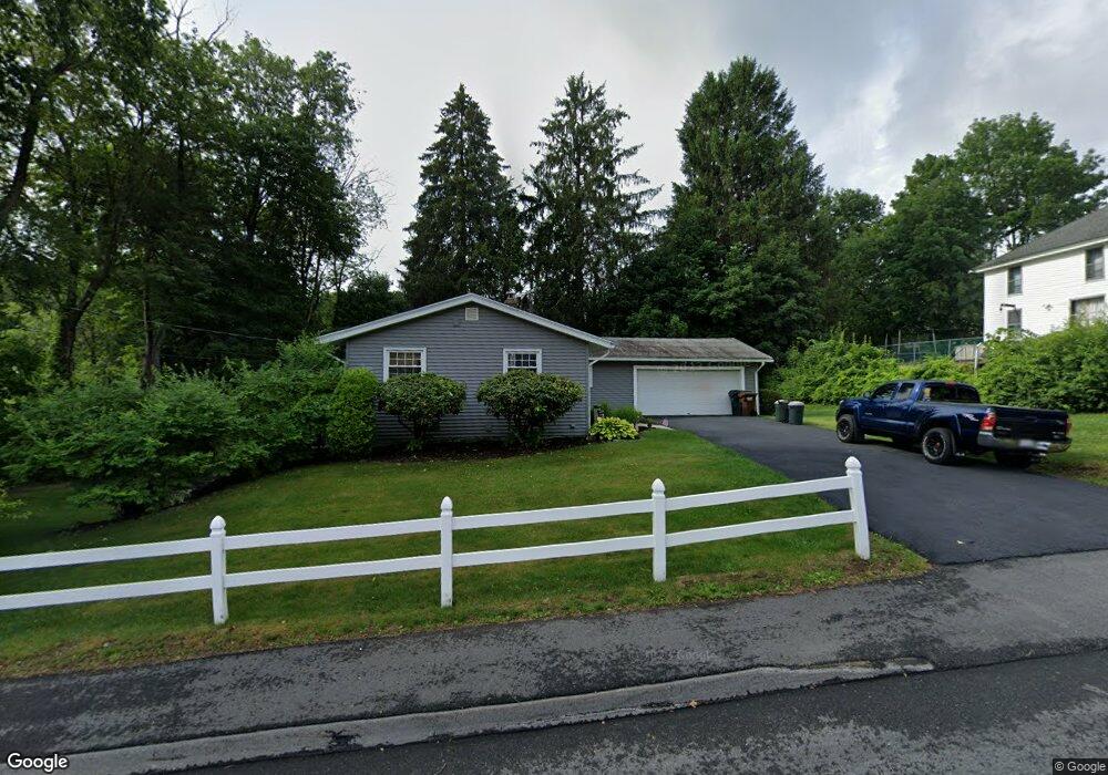
2 Barbara Ave Auburn, MA 01501
Downtown Auburn NeighborhoodEstimated Value: $469,000 - $521,000
4
Beds
2
Baths
1,748
Sq Ft
$284/Sq Ft
Est. Value
About This Home
This home is located at 2 Barbara Ave, Auburn, MA 01501 and is currently estimated at $496,622, approximately $284 per square foot. 2 Barbara Ave is a home located in Worcester County with nearby schools including Auburn Senior High School and Shrewsbury Montessori School - Auburn Campus.
Ownership History
Date
Name
Owned For
Owner Type
Purchase Details
Closed on
Oct 12, 2007
Sold by
Race Barbara M and Cormier Regina M
Bought by
Klotz-Falk Abby L
Current Estimated Value
Home Financials for this Owner
Home Financials are based on the most recent Mortgage that was taken out on this home.
Original Mortgage
$158,900
Outstanding Balance
$100,650
Interest Rate
6.49%
Mortgage Type
Purchase Money Mortgage
Estimated Equity
$395,972
Create a Home Valuation Report for This Property
The Home Valuation Report is an in-depth analysis detailing your home's value as well as a comparison with similar homes in the area
Home Values in the Area
Average Home Value in this Area
Purchase History
| Date | Buyer | Sale Price | Title Company |
|---|---|---|---|
| Klotz-Falk Abby L | $278,900 | -- |
Source: Public Records
Mortgage History
| Date | Status | Borrower | Loan Amount |
|---|---|---|---|
| Open | Klotz-Falk Abby L | $158,900 |
Source: Public Records
Tax History
| Year | Tax Paid | Tax Assessment Tax Assessment Total Assessment is a certain percentage of the fair market value that is determined by local assessors to be the total taxable value of land and additions on the property. | Land | Improvement |
|---|---|---|---|---|
| 2025 | $59 | $414,100 | $138,600 | $275,500 |
| 2024 | $5,770 | $386,500 | $132,400 | $254,100 |
| 2023 | $5,563 | $350,300 | $120,300 | $230,000 |
| 2022 | $5,228 | $310,800 | $120,300 | $190,500 |
| 2021 | $0 | $278,000 | $106,200 | $171,800 |
| 2020 | $4,998 | $278,000 | $106,200 | $171,800 |
| 2019 | $4,850 | $263,300 | $105,200 | $158,100 |
| 2018 | $3,501 | $251,300 | $98,400 | $152,900 |
| 2017 | $3,316 | $242,100 | $89,200 | $152,900 |
| 2016 | $4,251 | $235,000 | $93,100 | $141,900 |
| 2015 | $4,042 | $234,200 | $93,100 | $141,100 |
| 2014 | $3,830 | $221,500 | $88,600 | $132,900 |
Source: Public Records
Map
Nearby Homes
- 8 South Terrace
- 61 School St
- 36 Central St
- 6 George St
- 751 Washington St Unit 43A
- 137 South St
- 166 Leicester St
- 33 Eastford Rd
- 328 Oxford St N
- 31 Walsh Ave
- 31-33 Walsh Ave
- 33 Walsh Ave
- 634 Oxford St S
- 40 Bryn Mawr Ave
- 35 Waterman Rd
- 19-20 Williams St
- 1-9 Helens Way
- 177 Oxford St N
- 49 Prospect St
- 1 Rockland Road Ct
- 4 Barbara Ave
- 15 South St
- 15 South St Unit 2
- 1 Marion Ave
- 5 Winchester Ave
- 1 Barbara Ave
- 2 Marion Ave
- 17 South St
- 0 Confidential Unit 71257429
- 0 Confidential Unit 71328759
- 6 Barbara Ave
- 7 Winchester Ave
- 11 South St
- 3 Barbara Ave
- 3 Marion Ave
- 9 Winchester Ave
- 5 Marion Ave
- 1 South Terrace
- 1 South Terrace Unit 1
- 8 Barbara Ave
Your Personal Tour Guide
Ask me questions while you tour the home.