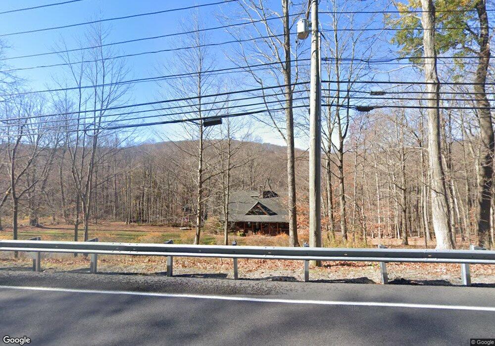
2 Barlow Farm Rd Sherman, CT 06784
Estimated Value: $487,000 - $597,000
2
Beds
3
Baths
1,500
Sq Ft
$356/Sq Ft
Est. Value
About This Home
This home is located at 2 Barlow Farm Rd, Sherman, CT 06784 and is currently estimated at $534,399, approximately $356 per square foot. 2 Barlow Farm Rd is a home located in Fairfield County with nearby schools including Sherman School.
Ownership History
Date
Name
Owned For
Owner Type
Purchase Details
Closed on
Oct 8, 2002
Sold by
Martin Lee B and Martin Evelyn
Bought by
Mccarthy Wayne R
Current Estimated Value
Purchase Details
Closed on
Jun 22, 1995
Sold by
Bancboston Mtg Corp
Bought by
Martin Lee B
Purchase Details
Closed on
Jun 25, 1974
Bought by
Mccarthy Wayne R and Corcione Debra A
Create a Home Valuation Report for This Property
The Home Valuation Report is an in-depth analysis detailing your home's value as well as a comparison with similar homes in the area
Home Values in the Area
Average Home Value in this Area
Purchase History
| Date | Buyer | Sale Price | Title Company |
|---|---|---|---|
| Mccarthy Wayne R | $170,000 | -- | |
| Martin Lee B | $90,000 | -- | |
| Mccarthy Wayne R | $170,000 | -- |
Source: Public Records
Mortgage History
| Date | Status | Borrower | Loan Amount |
|---|---|---|---|
| Open | Mccarthy Wayne R | $340,000 | |
| Closed | Mccarthy Wayne R | $25,000 | |
| Closed | Mccarthy Wayne R | $318,700 |
Source: Public Records
Tax History Compared to Growth
Tax History
| Year | Tax Paid | Tax Assessment Tax Assessment Total Assessment is a certain percentage of the fair market value that is determined by local assessors to be the total taxable value of land and additions on the property. | Land | Improvement |
|---|---|---|---|---|
| 2025 | $3,461 | $207,600 | $87,500 | $120,100 |
| 2024 | $3,396 | $207,600 | $87,500 | $120,100 |
| 2023 | $3,699 | $207,600 | $87,500 | $120,100 |
| 2022 | $3,774 | $207,600 | $87,500 | $120,100 |
| 2021 | $4,875 | $207,600 | $87,500 | $120,100 |
| 2020 | $12,154 | $207,600 | $87,500 | $120,100 |
| 2019 | $4,113 | $207,600 | $87,500 | $120,100 |
| 2018 | $4,072 | $200,300 | $87,500 | $112,800 |
| 2017 | $4,914 | $200,300 | $87,500 | $112,800 |
| 2016 | $4,071 | $200,270 | $87,500 | $112,770 |
| 2015 | $4,532 | $226,170 | $87,500 | $138,670 |
| 2014 | $4,487 | $226,170 | $87,500 | $138,670 |
Source: Public Records
Map
Nearby Homes
- 0 Rte 39 South State Route
- 0 Wagon Wheel Rd Unit 24065102
- 5 Stone Wall Ln
- 7 Glenview Dr
- 8 Candleview Dr
- 5 Sail Harbour Dr
- 4 Deer Run Trail
- 8 Ledgewood Dr
- 2 Pleasant View Rd
- 7 Candle Hill Rd
- 54 Lavelle Ave
- 14 Cherry Dr
- 86 Connecticut 37
- 15 Misty Brook Ln
- 15 Flak Ln
- 4 Harbour View Dr
- 32 Sail Harbour Dr
- 35 Candle Hill Rd
- 18 Fox Run
- 35 Skyline Dr
- 96 Route 39 S
- 94 Route 39 S
- 92 Route 39 S
- 90 Route 39 S
- 81 Route 39 S
- 85 Route 39 S
- 47 Wagon Wheel Rd
- 47-51 Wagon Wheel Rd
- 77 Route 39 S
- 24 Wagon Wheel Rd
- 9 Chestnut Hill Rd
- 87 Route 39 S
- 22 Wagon Wheel Rd
- 8 Sherwood Hill Rd
- 11 Chestnut Hill Rd
- 0 Wagon Wheel Rd
- 20 & 3 Wagon Wheel Rd
- 20 Wagon Wheel Rd
- 4 Sherwood Hill Rd
- 2 Sherwood Hill Rd