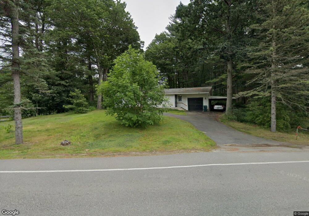
2 Beaverbrook Rd Westford, MA 01886
Estimated Value: $568,791 - $660,000
3
Beds
2
Baths
1,102
Sq Ft
$556/Sq Ft
Est. Value
About This Home
This home is located at 2 Beaverbrook Rd, Westford, MA 01886 and is currently estimated at $613,198, approximately $556 per square foot. 2 Beaverbrook Rd is a home located in Middlesex County with nearby schools including Col John Robinson, John A. Crisafulli Elementary School, and Blanchard Middle School.
Ownership History
Date
Name
Owned For
Owner Type
Purchase Details
Closed on
Apr 11, 2018
Sold by
Mcgee Philip R
Bought by
Megee Childrens Gift T
Current Estimated Value
Purchase Details
Closed on
Aug 13, 1991
Sold by
Est Kathleen Stephens
Bought by
Mcgee Philip R and Jeanne Oconnor
Home Financials for this Owner
Home Financials are based on the most recent Mortgage that was taken out on this home.
Original Mortgage
$123,500
Interest Rate
9.58%
Mortgage Type
Purchase Money Mortgage
Create a Home Valuation Report for This Property
The Home Valuation Report is an in-depth analysis detailing your home's value as well as a comparison with similar homes in the area
Home Values in the Area
Average Home Value in this Area
Purchase History
| Date | Buyer | Sale Price | Title Company |
|---|---|---|---|
| Megee Childrens Gift T | -- | -- | |
| Mcgee Philip R | -- | -- | |
| Mcgee Philip R | $140,000 | -- |
Source: Public Records
Mortgage History
| Date | Status | Borrower | Loan Amount |
|---|---|---|---|
| Previous Owner | Mcgee Philip R | $25,000 | |
| Previous Owner | Mcgee Philip R | $124,600 | |
| Previous Owner | Mcgee Philip R | $123,500 |
Source: Public Records
Tax History
| Year | Tax Paid | Tax Assessment Tax Assessment Total Assessment is a certain percentage of the fair market value that is determined by local assessors to be the total taxable value of land and additions on the property. | Land | Improvement |
|---|---|---|---|---|
| 2025 | $7,108 | $527,700 | $305,200 | $222,500 |
| 2024 | $6,922 | $502,700 | $290,700 | $212,000 |
| 2023 | $6,948 | $470,700 | $276,900 | $193,800 |
| 2022 | $6,471 | $401,400 | $223,000 | $178,400 |
| 2021 | $5,992 | $360,100 | $223,000 | $137,100 |
| 2020 | $5,880 | $360,100 | $223,000 | $137,100 |
| 2019 | $5,543 | $334,700 | $213,700 | $121,000 |
| 2018 | $5,179 | $320,100 | $204,400 | $115,700 |
| 2017 | $4,905 | $298,900 | $204,400 | $94,500 |
| 2016 | $4,872 | $298,900 | $204,400 | $94,500 |
| 2015 | $4,778 | $294,200 | $204,400 | $89,800 |
| 2014 | $4,749 | $286,100 | $196,300 | $89,800 |
Source: Public Records
Map
Nearby Homes
- 82 Pleasant St
- 66 Patten Rd
- 46 Patten Rd
- 12 Patten Rd
- 9 Elm St
- 6 Colonel Rolls Dr
- Lot 1 & 3 Beaver Brook Rd
- 41 Flagg Rd
- 8 Bixby Ln
- 3 Hillside Ave
- 20 Honeysuckle Rd
- 34 West St
- 7 3rd St
- 91 Jimney Dr Unit 91
- 15 Gilson Rd
- 92 Jimney Dr
- Lot 13 Monarch Path
- Lot 2 Monarch Path
- Lot 12 Monarch Path
- Lot 1 Monarch Path
- 2 Conservation Ln
- 4 Beaver Brook Rd
- 6 Conservation Ln
- 4 Conservation Ln Unit 4
- 5 Concord Rd
- 8 Conservation Ln
- 6 Beaverbrook Rd
- 87 Pleasant St
- 1 Beaver Brook Rd
- 5 Conservation Ln
- 4 Beaverbrook Rd
- 4 Beaverbrook Rd
- 7 Concord Rd
- 85 Pleasant St
- 7 Beaverbrook Rd
- 3 Sandy Beach Rd
- 5 Sandy Beach Rd
- 76 Patten Rd
- 74 Patten Rd
- 9 Beaverbrook Rd
Your Personal Tour Guide
Ask me questions while you tour the home.