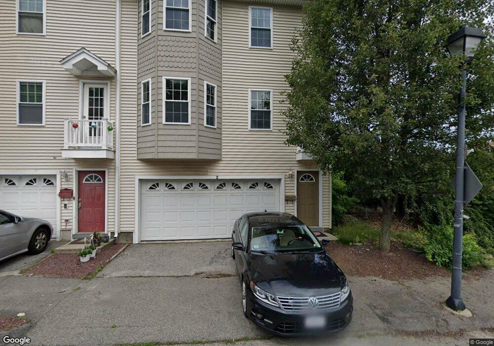
2 Beverly Cove Unit 2,3,6,10,12 Worcester, MA 01604
Broadmeadow Brook NeighborhoodEstimated Value: $414,764 - $461,000
3
Beds
2
Baths
5,900
Sq Ft
$73/Sq Ft
Est. Value
About This Home
This home is located at 2 Beverly Cove Unit 2,3,6,10,12, Worcester, MA 01604 and is currently estimated at $431,941, approximately $73 per square foot. 2 Beverly Cove Unit 2,3,6,10,12 is a home located in Worcester County with nearby schools including Roosevelt Elementary School, Jacob Hiatt Magnet School, and Chandler Magnet.
Ownership History
Date
Name
Owned For
Owner Type
Purchase Details
Closed on
Mar 23, 2022
Sold by
97 Coburn Realty Llc
Bought by
Shea Daniel C
Current Estimated Value
Home Financials for this Owner
Home Financials are based on the most recent Mortgage that was taken out on this home.
Original Mortgage
$362,496
Outstanding Balance
$339,591
Interest Rate
4.16%
Mortgage Type
Purchase Money Mortgage
Estimated Equity
$92,350
Create a Home Valuation Report for This Property
The Home Valuation Report is an in-depth analysis detailing your home's value as well as a comparison with similar homes in the area
Home Values in the Area
Average Home Value in this Area
Purchase History
| Date | Buyer | Sale Price | Title Company |
|---|---|---|---|
| Shea Daniel C | $349,900 | None Available |
Source: Public Records
Mortgage History
| Date | Status | Borrower | Loan Amount |
|---|---|---|---|
| Open | Shea Daniel C | $362,496 |
Source: Public Records
Tax History Compared to Growth
Tax History
| Year | Tax Paid | Tax Assessment Tax Assessment Total Assessment is a certain percentage of the fair market value that is determined by local assessors to be the total taxable value of land and additions on the property. | Land | Improvement |
|---|---|---|---|---|
| 2025 | $4,562 | $345,900 | $64,100 | $281,800 |
| 2024 | $4,333 | $315,100 | $64,100 | $251,000 |
| 2023 | $4,170 | $290,800 | $55,800 | $235,000 |
| 2022 | $3,810 | $250,500 | $44,600 | $205,900 |
| 2021 | $3,533 | $217,000 | $35,700 | $181,300 |
| 2020 | $3,579 | $210,500 | $35,700 | $174,800 |
| 2019 | $3,596 | $199,800 | $32,100 | $167,700 |
| 2018 | $3,582 | $189,400 | $32,100 | $157,300 |
| 2017 | $3,344 | $174,000 | $32,100 | $141,900 |
| 2016 | $3,376 | $163,800 | $25,000 | $138,800 |
| 2015 | $3,287 | $163,800 | $25,000 | $138,800 |
| 2014 | $3,201 | $163,800 | $25,000 | $138,800 |
Source: Public Records
Map
Nearby Homes
- 1218 Grafton St
- 76 Weatherstone Dr
- 1203 Grafton St Unit 38
- 1195 Grafton St Unit 4
- 1195 Grafton St Unit 3
- 31 Crane St
- 11 Margin St
- 27 A-B Grafton St
- 7 Atlas St
- 11 Maplewood Rd
- 340 Sunderland Rd Unit 23
- 340 Sunderland Rd Unit 24
- 6 Ockway St Unit A
- 3 Bay Edge Dr
- 14 Bay Edge Ln
- 14 Tamar Ave
- 270 Sunderland Rd Unit 77
- 270 Sunderland Rd Unit 67
- 270 Sunderland Rd Unit 96
- 497 Massasoit Rd
- 2 Beverly Cove
- 2 Beverly Cove Unit 2
- 4 Beverly Cove
- 6 Beverly Cove
- 5
- 3 Beverly Cove
- 3 Beverly Cove Unit 8
- 3 Beverly Cove
- 3 Beverly Cove Unit 3
- 5 Beverly Cove
- 8 Beverly Cove
- 8 Beverly Cove Unit 8
- 7 Beverly Cove Unit 1
- 7 Beverly Cove
- 7 Beverly Cove Unit 7
- 10 Beverly Cove
- 9 Beverly Cove
- 1306 Grafton St
- 11 Beverly Cove
- 1301 Grafton St