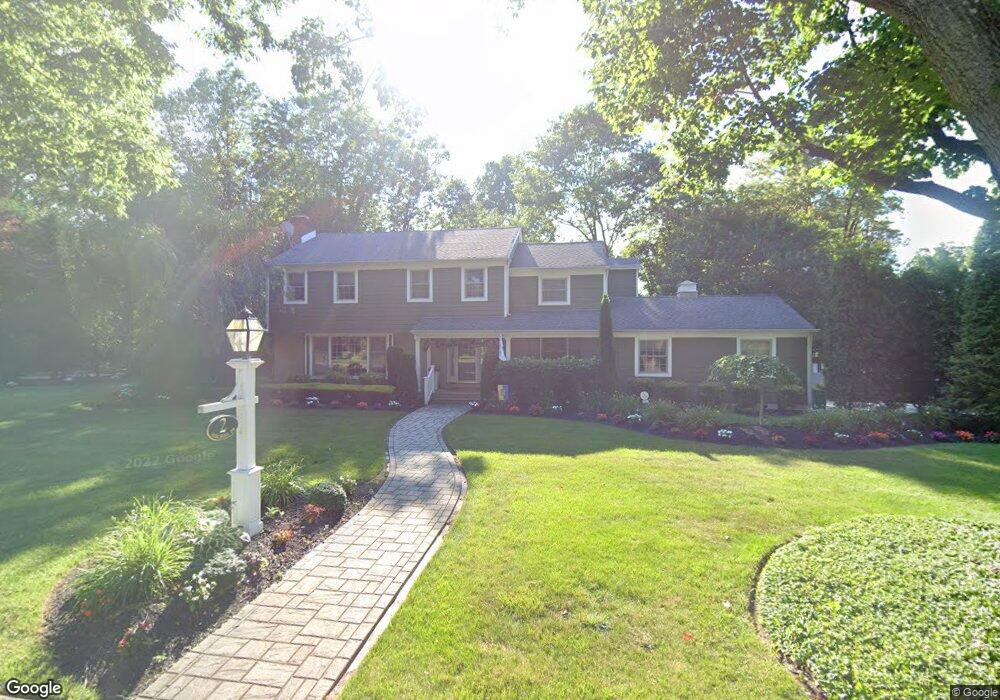
2 Birchall Dr Haddonfield, NJ 08033
Estimated Value: $1,186,305 - $1,363,000
Studio
--
Bath
2,471
Sq Ft
$519/Sq Ft
Est. Value
About This Home
This home is located at 2 Birchall Dr, Haddonfield, NJ 08033 and is currently estimated at $1,281,435, approximately $518 per square foot. 2 Birchall Dr is a home located in Camden County with nearby schools including Haddonfield Memorial High School, Brookfield Elementary School, and Paul VI High School.
Ownership History
Date
Name
Owned For
Owner Type
Purchase Details
Closed on
Nov 30, 2005
Sold by
Mersky Jordan S
Bought by
Smith Terrence R and Smith Cathryn Edge
Current Estimated Value
Purchase Details
Closed on
Jun 22, 1999
Sold by
Kancher Mark
Bought by
Mersky Jordan S and Henderson Liesl A
Home Financials for this Owner
Home Financials are based on the most recent Mortgage that was taken out on this home.
Original Mortgage
$190,000
Interest Rate
7.19%
Purchase Details
Closed on
Jun 10, 1996
Sold by
Shanker Family Living Trust
Bought by
Kancher Marjorie E
Home Financials for this Owner
Home Financials are based on the most recent Mortgage that was taken out on this home.
Original Mortgage
$200,000
Interest Rate
7.98%
Create a Home Valuation Report for This Property
The Home Valuation Report is an in-depth analysis detailing your home's value as well as a comparison with similar homes in the area
Home Values in the Area
Average Home Value in this Area
Purchase History
| Date | Buyer | Sale Price | Title Company |
|---|---|---|---|
| Smith Terrence R | $712,500 | -- | |
| Mersky Jordan S | $342,500 | -- | |
| Kancher Marjorie E | $270,000 | -- |
Source: Public Records
Mortgage History
| Date | Status | Borrower | Loan Amount |
|---|---|---|---|
| Previous Owner | Mersky Jordan S | $190,000 | |
| Previous Owner | Kancher Marjorie E | $200,000 |
Source: Public Records
Tax History
| Year | Tax Paid | Tax Assessment Tax Assessment Total Assessment is a certain percentage of the fair market value that is determined by local assessors to be the total taxable value of land and additions on the property. | Land | Improvement |
|---|---|---|---|---|
| 2025 | $24,006 | $743,000 | $390,100 | $352,900 |
| 2024 | $23,687 | $743,000 | $390,100 | $352,900 |
Source: Public Records
Map
Nearby Homes
- 38 Birchall Dr
- 233 E Kings Hwy
- 75 Birchall Dr
- 344 Knolltop Ln
- 370 Station Ave
- 100 3rd Ave
- 47 E Kings Hwy
- 110 Avondale Ave
- 108 Avondale Ave
- 103 White Horse Pike
- 302 3rd Ave
- 133 Lafayette Rd
- 112 W Atlantic Ave
- 102 Cherry St
- 109 W Euclid Ave
- 313 Woodland Ave
- 33 Estaugh Ave
- 35 Estaugh Ave
- 425 White Horse Pike
- 237 7th Ave
- 127 Hopkins Rd
- 8 Birchall Dr
- 1 Birchall Dr
- 720 E Greenman Rd
- 718 E Greenman Rd
- 510 Kings Hwy W
- 299 E Kings Hwy
- 7 Birchall Dr
- 470 Kings Hwy W
- 716 E Greenman Rd
- 20 Birchall Dr
- 4 Kings Hwy
- 15 Birchall Dr
- 719 E Greenman Rd
- 714 E Greenman Rd
- 501 Kings Hwy W
- 289 E Kings Hwy
- 6 Kings Hwy
- 717 E Greenman Rd
- 26 Birchall Dr
Your Personal Tour Guide
Ask me questions while you tour the home.