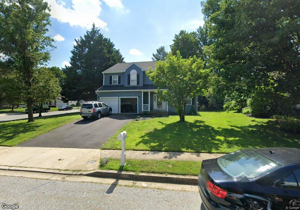
2 Bitternut Ct Catonsville, MD 21228
Estimated Value: $764,834 - $872,000
--
Bed
3
Baths
2,800
Sq Ft
$297/Sq Ft
Est. Value
About This Home
This home is located at 2 Bitternut Ct, Catonsville, MD 21228 and is currently estimated at $830,959, approximately $296 per square foot. 2 Bitternut Ct is a home located in Baltimore County with nearby schools including Hillcrest Elementary School, Arbutus Middle School, and Catonsville High School.
Ownership History
Date
Name
Owned For
Owner Type
Purchase Details
Closed on
Oct 11, 2001
Sold by
Aldrich Jane V
Bought by
Hash John Stuart and Hash Helen Ann
Current Estimated Value
Purchase Details
Closed on
Mar 1, 1999
Sold by
Hoag Stephen W
Bought by
Aldrich Jane
Purchase Details
Closed on
Mar 16, 1995
Sold by
Paupe J M
Bought by
Hoag Stephen W
Home Financials for this Owner
Home Financials are based on the most recent Mortgage that was taken out on this home.
Original Mortgage
$163,000
Interest Rate
8.89%
Create a Home Valuation Report for This Property
The Home Valuation Report is an in-depth analysis detailing your home's value as well as a comparison with similar homes in the area
Home Values in the Area
Average Home Value in this Area
Purchase History
| Date | Buyer | Sale Price | Title Company |
|---|---|---|---|
| Hash John Stuart | $290,000 | -- | |
| Aldrich Jane | -- | -- | |
| Hoag Stephen W | $220,500 | -- |
Source: Public Records
Mortgage History
| Date | Status | Borrower | Loan Amount |
|---|---|---|---|
| Previous Owner | Hoag Stephen W | $163,000 |
Source: Public Records
Tax History Compared to Growth
Tax History
| Year | Tax Paid | Tax Assessment Tax Assessment Total Assessment is a certain percentage of the fair market value that is determined by local assessors to be the total taxable value of land and additions on the property. | Land | Improvement |
|---|---|---|---|---|
| 2025 | $8,433 | $703,600 | -- | -- |
| 2024 | $8,433 | $646,600 | $172,300 | $474,300 |
| 2023 | $4,116 | $626,967 | $0 | $0 |
| 2022 | $7,281 | $607,333 | $0 | $0 |
| 2021 | $2,258 | $587,700 | $172,300 | $415,400 |
| 2020 | $2,258 | $166,233 | $0 | $0 |
| 2019 | $6,310 | $487,767 | $0 | $0 |
| 2018 | $6,124 | $480,200 | $140,300 | $339,900 |
| 2017 | $5,860 | $468,367 | $0 | $0 |
| 2016 | $4,764 | $456,533 | $0 | $0 |
| 2015 | $4,764 | $444,700 | $0 | $0 |
| 2014 | $4,764 | $439,567 | $0 | $0 |
Source: Public Records
Map
Nearby Homes
- 1212 Mccurley Ave
- 1218 Mccurley Ave
- 1326 Brook Rd
- 12 Old Granary Ct
- 11 Old Granary Ct
- 206 S Rolling Rd
- 1 Trotting Horse Ct
- 16 Locust Dr
- 8 Seminole Ave
- 4 Holmes Ave
- 1703 Frederick Rd
- 2 Park Dr
- 2 N Beechwood Ave
- 127 Bloomsbury Ave
- 17 N Beaumont Ave
- 11 Clay Lodge Ln Unit 204
- 19 Clay Lodge Ln Unit 104
- 4484 Ilchester Rd
- 38A Winters Ln
- 1910 Rollingwood Rd
- 4 Bitternut Ct
- 6 Bitternut Ct
- 3 Apple Tree Ct
- 712 White Oaks Ave
- 710 White Oaks Ave
- 713 White Oaks Ave
- 3 Bitternut Ct
- 5 Apple Tree Ct
- 714 White Oaks Ave
- 708 White Oaks Ave
- 8 Bitternut Ct
- 7 Apple Tree Ct
- 716 White Oaks Ave
- 706 White Oaks Ave
- 9 Apple Tree Ct
- 10 Bitternut Ct
- 703 White Oaks Ave
- 704 White Oaks Ave
- 11 Apple Tree Ct
- 14 English Elm Ct