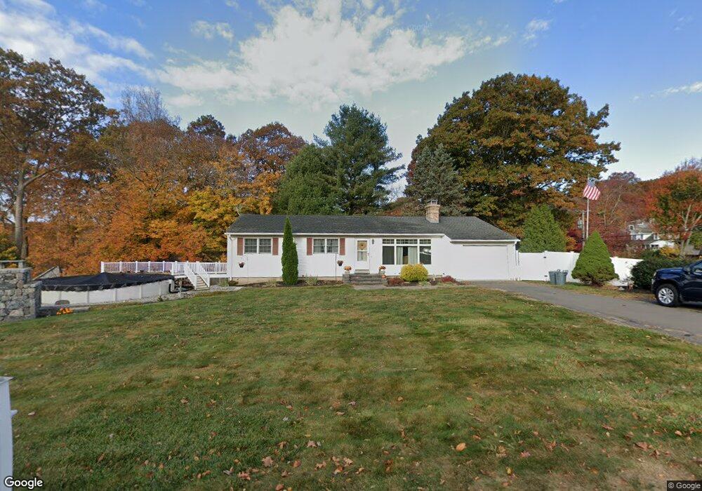
2 Blansfield Ln Wolcott, CT 06716
Estimated Value: $376,000 - $406,000
3
Beds
2
Baths
1,372
Sq Ft
$286/Sq Ft
Est. Value
About This Home
This home is located at 2 Blansfield Ln, Wolcott, CT 06716 and is currently estimated at $391,977, approximately $285 per square foot. 2 Blansfield Ln is a home located in New Haven County with nearby schools including Tyrrell Middle School and Wolcott High School.
Ownership History
Date
Name
Owned For
Owner Type
Purchase Details
Closed on
Apr 30, 2002
Sold by
Santoro Danato
Bought by
Moreland George and Moreland Janice
Current Estimated Value
Home Financials for this Owner
Home Financials are based on the most recent Mortgage that was taken out on this home.
Original Mortgage
$157,528
Interest Rate
7.05%
Create a Home Valuation Report for This Property
The Home Valuation Report is an in-depth analysis detailing your home's value as well as a comparison with similar homes in the area
Home Values in the Area
Average Home Value in this Area
Purchase History
| Date | Buyer | Sale Price | Title Company |
|---|---|---|---|
| Moreland George | $160,000 | -- |
Source: Public Records
Mortgage History
| Date | Status | Borrower | Loan Amount |
|---|---|---|---|
| Open | Moreland George | $20,000 | |
| Closed | Moreland George | $189,139 | |
| Closed | Moreland George | $70,000 | |
| Closed | Moreland George | $157,528 |
Source: Public Records
Tax History Compared to Growth
Tax History
| Year | Tax Paid | Tax Assessment Tax Assessment Total Assessment is a certain percentage of the fair market value that is determined by local assessors to be the total taxable value of land and additions on the property. | Land | Improvement |
|---|---|---|---|---|
| 2025 | $6,044 | $168,220 | $40,740 | $127,480 |
| 2024 | $5,563 | $168,220 | $40,740 | $127,480 |
| 2023 | $5,361 | $168,220 | $40,740 | $127,480 |
| 2022 | $5,181 | $168,220 | $40,740 | $127,480 |
| 2021 | $4,745 | $143,180 | $38,640 | $104,540 |
| 2020 | $4,745 | $143,180 | $38,640 | $104,540 |
| 2019 | $4,745 | $143,180 | $38,640 | $104,540 |
| 2018 | $4,610 | $143,180 | $38,640 | $104,540 |
| 2017 | $4,477 | $143,180 | $38,640 | $104,540 |
| 2016 | $4,216 | $145,820 | $39,340 | $106,480 |
| 2015 | $4,095 | $145,820 | $39,340 | $106,480 |
| 2014 | $3,937 | $144,890 | $39,340 | $105,550 |
Source: Public Records
Map
Nearby Homes
- 195 Andrews Rd
- 13 Williams Ct
- 55 Colby Ln
- 49 Forestview Dr
- 16 Oakengate Rd
- 81 Hidden Pond Dr
- 0 Spindle Hill Rd Unit 24062265
- 81 Allentown Rd
- 141 Chicory Dr
- 5 Evas Terrace
- 75 Kingswood Ln
- 0 Grassy Hill Rd Unit 24070167
- 8 Pembroke Hill Rd
- 713 Bucks Hill Rd
- Lots 70B and 71B Spindle Hill Rd
- 701 Bucks Hill Rd
- 440 Chestnut Hill Ave
- 20 Pembroke Hill Rd
- 22 Pembroke Hill Rd
- 595 Bucks Hill Rd
- 12 Blansfield Ln
- 89 Clinton Hill Rd
- 7 Blansfield Ln
- 86 Clinton Hill Rd
- 80 Clinton Hill Rd
- 95 Clinton Hill Rd
- 92 Clinton Hill Rd
- 99 Clinton Hill Rd
- 98 Clinton Hill Rd
- 18 Blansfield Ln
- 40 Patricia Ln
- 70 Clinton Hill Rd
- 36 Blansfield Ln
- 41 Patricia Ln
- 67 Clinton Hill Rd
- 15 Blansfield Ln
- 30 Patricia Ln
- 25 Blansfield Ln
- 58 Clinton Hill Rd
- 63 Clinton Hill Rd