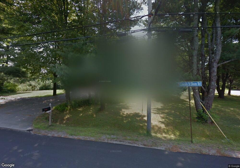
2 Boom Rd Saco, ME 04072
Central Saco NeighborhoodEstimated Value: $434,369 - $591,000
4
Beds
2
Baths
2,259
Sq Ft
$231/Sq Ft
Est. Value
About This Home
This home is located at 2 Boom Rd, Saco, ME 04072 and is currently estimated at $520,842, approximately $230 per square foot. 2 Boom Rd is a home located in York County with nearby schools including C K Burns School, Saco Middle School, and Saint James School.
Ownership History
Date
Name
Owned For
Owner Type
Purchase Details
Closed on
Feb 12, 2026
Sold by
Hennessy Donald C Est and Hennessy
Bought by
Hamel Debra and Hamel Gary P
Current Estimated Value
Home Financials for this Owner
Home Financials are based on the most recent Mortgage that was taken out on this home.
Original Mortgage
$264,000
Outstanding Balance
$263,745
Interest Rate
6.15%
Mortgage Type
Purchase Money Mortgage
Estimated Equity
$257,097
Purchase Details
Closed on
Jan 11, 2012
Sold by
Binette Donald
Bought by
Hennessy Charles and Hennessy Donald
Home Financials for this Owner
Home Financials are based on the most recent Mortgage that was taken out on this home.
Original Mortgage
$140,000
Interest Rate
4%
Mortgage Type
New Conventional
Create a Home Valuation Report for This Property
The Home Valuation Report is an in-depth analysis detailing your home's value as well as a comparison with similar homes in the area
Home Values in the Area
Average Home Value in this Area
Purchase History
| Date | Buyer | Sale Price | Title Company |
|---|---|---|---|
| Hamel Debra | $330,000 | -- | |
| Hennessy Charles | -- | -- | |
| Hennessy Charles | -- | -- |
Source: Public Records
Mortgage History
| Date | Status | Borrower | Loan Amount |
|---|---|---|---|
| Open | Hamel Debra | $264,000 | |
| Previous Owner | Hennessy Charles | $140,000 |
Source: Public Records
Tax History
| Year | Tax Paid | Tax Assessment Tax Assessment Total Assessment is a certain percentage of the fair market value that is determined by local assessors to be the total taxable value of land and additions on the property. | Land | Improvement |
|---|---|---|---|---|
| 2024 | $6,283 | $447,200 | $120,600 | $326,600 |
| 2023 | $6,596 | $447,200 | $120,600 | $326,600 |
| 2022 | $5,853 | $319,300 | $91,900 | $227,400 |
| 2021 | $5,528 | $292,800 | $82,000 | $210,800 |
| 2020 | $5,195 | $264,100 | $72,200 | $191,900 |
| 2019 | $5,118 | $264,100 | $72,200 | $191,900 |
| 2018 | $4,990 | $257,500 | $65,600 | $191,900 |
| 2017 | $4,671 | $241,000 | $65,600 | $175,400 |
| 2016 | $4,622 | $238,000 | $62,300 | $175,700 |
| 2015 | $4,509 | $234,600 | $61,100 | $173,500 |
| 2014 | $4,368 | $234,600 | $61,100 | $173,500 |
| 2013 | $4,359 | $234,600 | $61,100 | $173,500 |
Source: Public Records
Map
Nearby Homes
- 242 Lincoln St
- 13 Western Ave
- 2 Banks Ln
- TBD Oakland St
- 16 Caryn Dr
- 7 Hubbard St
- 75 Maple St Unit 101
- 91 Western Ave Unit 3
- 57 Hill St
- 64 Bradbury St
- 674 South St
- 70 Mason St
- 22 Tasker St Unit 11
- 22 Tasker St Unit 10
- 4 Kossuth St
- 18A Garfield St
- 2 Labonte Ave E
- 12 Kossuth St
- 3 Labonte Ave E
- 17 Wentworth St
- lot 2 Boom Rd
- 0 Boom Rd
- lot 4 Boom Rd
- 1 Blackberry Ln
- 4 Blackberry Ln
- 3 Boom Rd
- lot 1 Boom Rd
- 7 Boom Rd
- 6 Blackberry Ln
- 342 Lincoln St Unit 2
- 342 Lincoln St Unit 1
- 14 Boom Rd
- 13 Boom Rd
- 5 Blackberry Ln
- 3 Blackberry Ln
- 3 Skyline Dr
- 340 Lincoln St Unit 2
- 340 Lincoln St Unit 1
- 340 Lincoln St Unit 7
- 340 Lincoln St Unit 9
Your Personal Tour Guide
Ask me questions while you tour the home.