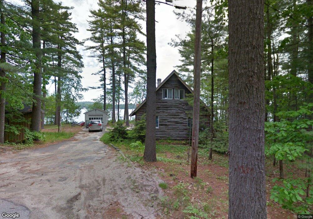
2 Brads Way Raymond, ME 04071
Estimated Value: $898,000 - $1,273,000
2
Beds
1
Bath
1,440
Sq Ft
$778/Sq Ft
Est. Value
About This Home
This home is located at 2 Brads Way, Raymond, ME 04071 and is currently estimated at $1,120,372, approximately $778 per square foot. 2 Brads Way is a home located in Cumberland County with nearby schools including Gray-New Gloucester High School.
Ownership History
Date
Name
Owned For
Owner Type
Purchase Details
Closed on
Jul 30, 2007
Sold by
Schuster Barry C and Kissam Beverly
Bought by
Pickelhaupt Charles E and Pickelhaupt Margaret E
Current Estimated Value
Home Financials for this Owner
Home Financials are based on the most recent Mortgage that was taken out on this home.
Original Mortgage
$391,200
Interest Rate
6.78%
Mortgage Type
Unknown
Create a Home Valuation Report for This Property
The Home Valuation Report is an in-depth analysis detailing your home's value as well as a comparison with similar homes in the area
Home Values in the Area
Average Home Value in this Area
Purchase History
| Date | Buyer | Sale Price | Title Company |
|---|---|---|---|
| Pickelhaupt Charles E | -- | -- |
Source: Public Records
Mortgage History
| Date | Status | Borrower | Loan Amount |
|---|---|---|---|
| Open | Pickelhaupt Charles E | $177,100 | |
| Open | Pickelhaupt Charles E | $383,900 | |
| Closed | Pickelhaupt Charles E | $391,200 |
Source: Public Records
Tax History
| Year | Tax Paid | Tax Assessment Tax Assessment Total Assessment is a certain percentage of the fair market value that is determined by local assessors to be the total taxable value of land and additions on the property. | Land | Improvement |
|---|---|---|---|---|
| 2025 | $9,653 | $997,200 | $742,900 | $254,300 |
| 2024 | $9,673 | $997,200 | $742,900 | $254,300 |
| 2023 | $8,067 | $531,400 | $371,500 | $159,900 |
| 2022 | $7,413 | $531,400 | $371,500 | $159,900 |
| 2021 | $7,453 | $510,100 | $371,500 | $138,600 |
| 2020 | $7,524 | $510,100 | $371,500 | $138,600 |
| 2019 | $7,524 | $510,100 | $371,500 | $138,600 |
| 2018 | $7,141 | $510,100 | $371,500 | $138,600 |
| 2017 | $5,751 | $318,600 | $228,800 | $89,800 |
| 2016 | $5,830 | $318,600 | $228,800 | $89,800 |
| 2015 | $5,799 | $318,600 | $228,800 | $89,800 |
| 2014 | $5,799 | $318,600 | $228,800 | $89,800 |
| 2012 | $5,051 | $318,674 | $228,840 | $89,834 |
Source: Public Records
Map
Nearby Homes
- 15 Worcester Dr
- 2 Gore Rd
- 34 Many Oaks Ln
- M011-006 Westwood Rd
- 11-007 Westwood Rd
- 0 Heidi Way
- 20 Bittersweet Way
- 12 Presidential View
- 18 Hillside Dr
- lot #8 Bedrock Terrace
- 99 Enterprise Dr
- 16 Peterson Rd
- 4 Wheeler Rd
- 107 W Gray Rd
- 1112 Roosevelt Trail Unit 8
- 1083 Roosevelt Trail
- 15 May Meadow Dr
- 127 Shaker Rd Unit 17
- 1042 Roosevelt Trail
- 2 Flynn Rd
- 1 Brads Way
- 166 Lyons Point Rd
- 166 Lyons Point Rd
- 4 Brads Way
- 164 Lyons Point Rd
- 6 Brads Way
- 168 Lyons Point Rd
- 162 Lyons Point Rd
- 163 Lyons Point Rd
- 172 Lyons Point Rd
- 161 Lyons Point Rd
- 156 Lyons Point Rd
- 178 Lyons Point Rd
- 154 Lyons Point Rd
- 152 Lyons Point Rd
- 159 Lyons Point Rd
- 155 Lyons Point Rd
- 153 Lyons Point Rd
- 180 Lyons Point Rd
- 150 Lyons Point Rd
Your Personal Tour Guide
Ask me questions while you tour the home.