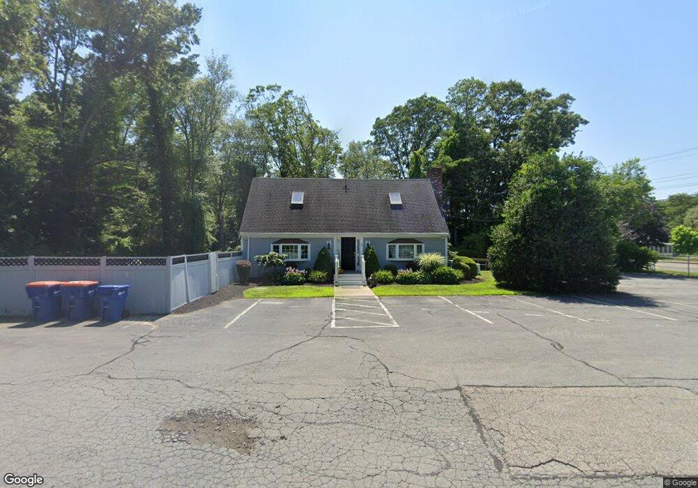
2 Brandt Island Rd Mattapoisett, MA 02739
Estimated Value: $692,457
2
Beds
3
Baths
1,680
Sq Ft
$412/Sq Ft
Est. Value
About This Home
This home is located at 2 Brandt Island Rd, Mattapoisett, MA 02739 and is currently estimated at $692,457, approximately $412 per square foot. 2 Brandt Island Rd is a home located in Plymouth County with nearby schools including Center School, Old Hammondtown Elementary, and Old Rochester Regional High School.
Ownership History
Date
Name
Owned For
Owner Type
Purchase Details
Closed on
Sep 28, 2009
Sold by
Wester Carol M
Bought by
2 Brandt Island Road T and Wester Carol M
Current Estimated Value
Purchase Details
Closed on
Aug 11, 2009
Sold by
Bramm Lisabeth
Bought by
Wester Carol M
Purchase Details
Closed on
Jul 30, 2003
Sold by
Smith Henry B
Bought by
Wester Carol M and Brimm Lisabeth
Home Financials for this Owner
Home Financials are based on the most recent Mortgage that was taken out on this home.
Original Mortgage
$225,000
Interest Rate
5.28%
Mortgage Type
Commercial
Purchase Details
Closed on
May 31, 2000
Sold by
Barrett Jon
Bought by
Smith Henry B
Purchase Details
Closed on
Oct 13, 1998
Sold by
Martin William R and Martin Joan P
Bought by
Danforth Fred C and Larsson Carlene B
Purchase Details
Closed on
Jan 29, 1996
Sold by
Halpert David H and Garland Andrew M
Bought by
Martin William R and Martin Joan P
Create a Home Valuation Report for This Property
The Home Valuation Report is an in-depth analysis detailing your home's value as well as a comparison with similar homes in the area
Home Values in the Area
Average Home Value in this Area
Purchase History
| Date | Buyer | Sale Price | Title Company |
|---|---|---|---|
| 2 Brandt Island Road T | -- | -- | |
| 2 Brandt Island Road T | -- | -- | |
| Wester Carol M | -- | -- | |
| Wester Carol M | -- | -- | |
| Wester Carol M | $317,500 | -- | |
| Wester Carol M | $317,500 | -- | |
| Smith Henry B | $182,000 | -- | |
| Smith Henry B | $182,000 | -- | |
| Danforth Fred C | $1,500,000 | -- | |
| Danforth Fred C | $1,500,000 | -- | |
| Martin William R | $210,000 | -- |
Source: Public Records
Mortgage History
| Date | Status | Borrower | Loan Amount |
|---|---|---|---|
| Previous Owner | Martin William R | $203,971 | |
| Previous Owner | Martin William R | $225,000 |
Source: Public Records
Tax History Compared to Growth
Tax History
| Year | Tax Paid | Tax Assessment Tax Assessment Total Assessment is a certain percentage of the fair market value that is determined by local assessors to be the total taxable value of land and additions on the property. | Land | Improvement |
|---|---|---|---|---|
| 2025 | $3,740 | $347,600 | $108,300 | $239,300 |
| 2024 | $3,653 | $347,600 | $108,300 | $239,300 |
| 2023 | $3,887 | $345,500 | $106,200 | $239,300 |
| 2022 | $4,134 | $333,400 | $96,500 | $236,900 |
| 2021 | $4,321 | $333,400 | $96,500 | $236,900 |
| 2020 | $4,498 | $333,400 | $96,500 | $236,900 |
| 2019 | $4,404 | $333,400 | $96,500 | $236,900 |
| 2018 | $4,228 | $324,700 | $102,100 | $222,600 |
| 2017 | $4,244 | $324,700 | $102,100 | $222,600 |
| 2016 | $4,286 | $324,700 | $102,100 | $222,600 |
| 2015 | $4,221 | $324,700 | $102,100 | $222,600 |
| 2014 | $3,785 | $297,600 | $96,400 | $201,200 |
Source: Public Records
Map
Nearby Homes
- 3 Brandt Island Rd
- 421 Huttleston Ave
- 20 Forestview Dr
- 83 Fairhaven Rd
- 47 Fairhaven Rd
- 0 Whalers Way
- 706 Ocean Meadows
- 41 Starboard Way
- 1 Starboard Way
- 7 Pearl St
- 6 Meadowbrook Ln
- 9 Hitching Post Rd
- 12 Cannon St
- 13 Park Place
- 312 New Boston Rd
- 0 Marina Dr Unit 72497908
- 0 Marina Dr Unit 72497877
- 35 North St
- 8 Captains Ln
- 280 Bridge St Lot1
- 0-2 Brandt Island Rd
- 0 Fairhaven Road-Brandt Isl Rd Unit 70731075
- 0 Brandt Island Rd L: Unit 70978862
- 0 Fairhaven Road-Brandt Isl Rd Unit 70577535
- 5 Brandt Island Rd
- 133 Fairhaven Rd
- 129 Fairhaven Rd
- 120 Fairhaven Rd
- 130 Fairhaven Rd
- 9 Brandt Island Rd
- 7 Brandt Island Rd
- 135 Fairhaven Rd
- 135 Fairhaven Rd
- 118 Fairhaven Rd
- 137 Fairhaven Rd
- 0 Brandt Island Rd Unit 71354433
- 0 Brandt Island Rd Unit 71525926
- 0 Brandt Island Rd Unit 71656858
- 0 Brandt Island Rd Unit 70794107
- 0 Brandt Island Rd Unit 72258389