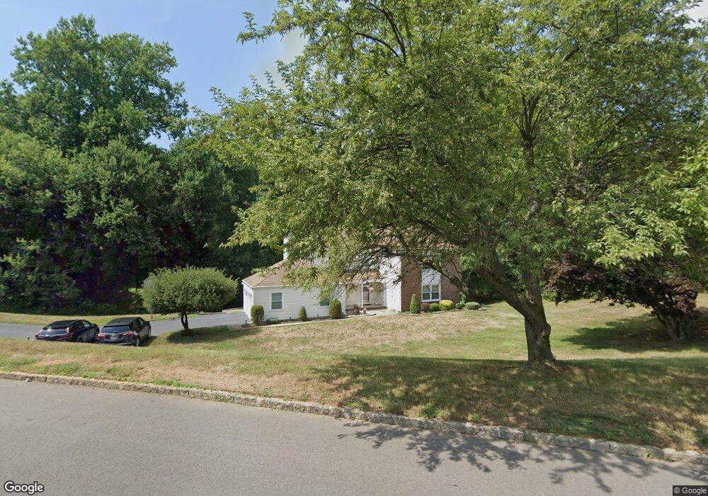
2 Brandywine Dr Morganville, NJ 07751
Estimated Value: $609,000 - $1,237,000
4
Beds
3
Baths
2,498
Sq Ft
$358/Sq Ft
Est. Value
About This Home
This home is located at 2 Brandywine Dr, Morganville, NJ 07751 and is currently estimated at $893,049, approximately $357 per square foot. 2 Brandywine Dr is a home located in Monmouth County with nearby schools including Frank Defino Central Elementary School, Marlboro Memorial Middle School, and Marlboro High School.
Ownership History
Date
Name
Owned For
Owner Type
Purchase Details
Closed on
Dec 30, 1998
Sold by
Cesario Susan
Bought by
Kaiser Paul and Kaiser Diane
Current Estimated Value
Home Financials for this Owner
Home Financials are based on the most recent Mortgage that was taken out on this home.
Original Mortgage
$125,000
Interest Rate
6.74%
Create a Home Valuation Report for This Property
The Home Valuation Report is an in-depth analysis detailing your home's value as well as a comparison with similar homes in the area
Home Values in the Area
Average Home Value in this Area
Purchase History
| Date | Buyer | Sale Price | Title Company |
|---|---|---|---|
| Kaiser Paul | $267,500 | -- | |
| Kaiser Paul | $267,500 | -- |
Source: Public Records
Mortgage History
| Date | Status | Borrower | Loan Amount |
|---|---|---|---|
| Previous Owner | Kaiser Paul | $125,000 |
Source: Public Records
Tax History Compared to Growth
Tax History
| Year | Tax Paid | Tax Assessment Tax Assessment Total Assessment is a certain percentage of the fair market value that is determined by local assessors to be the total taxable value of land and additions on the property. | Land | Improvement |
|---|---|---|---|---|
| 2025 | $12,396 | $491,300 | $238,700 | $252,600 |
| 2024 | $11,860 | $491,300 | $238,700 | $252,600 |
| 2023 | $11,860 | $491,300 | $238,700 | $252,600 |
| 2022 | $11,526 | $491,300 | $238,700 | $252,600 |
| 2021 | $11,369 | $491,300 | $238,700 | $252,600 |
| 2020 | $11,359 | $491,300 | $238,700 | $252,600 |
| 2019 | $11,369 | $491,300 | $238,700 | $252,600 |
| 2018 | $11,172 | $491,300 | $238,700 | $252,600 |
| 2017 | $10,956 | $491,300 | $238,700 | $252,600 |
| 2016 | $10,912 | $491,300 | $238,700 | $252,600 |
| 2015 | $10,607 | $484,800 | $238,700 | $246,100 |
| 2014 | $10,492 | $474,300 | $238,700 | $235,600 |
Source: Public Records
Map
Nearby Homes
- 309 Highway 79
- 33 Harbor Rd
- 12 Collier Ln
- 213 Walnut Dr
- 214 Walnut Dr
- 220 Peacock Ln
- 421 Georgetown Dr
- 115 Canterbury Ln
- 30 Pleasant Valley Rd
- 67 Tennent Rd
- 511 Tennent Rd
- 509 Tennent Rd
- 16 Pleasant Valley Rd
- 15 Village Rd
- 119 Village Rd
- 12 Ellis Ct
- 32 Village Rd
- 462 Highway 79
- 135 Village Rd
- 93 Village Rd