2 Briarwood Dr Sherman, CT 06784
Estimated Value: $700,157 - $1,016,000
4
Beds
3
Baths
2,749
Sq Ft
$313/Sq Ft
Est. Value
About This Home
This home is located at 2 Briarwood Dr, Sherman, CT 06784 and is currently estimated at $861,039, approximately $313 per square foot. 2 Briarwood Dr is a home located in Fairfield County with nearby schools including Sherman School.
Ownership History
Date
Name
Owned For
Owner Type
Purchase Details
Closed on
Mar 23, 2011
Sold by
Annese Coradino M
Bought by
Annese Ruby Elaine
Current Estimated Value
Purchase Details
Closed on
Jul 23, 1992
Sold by
Michael Lynch & Assoc
Bought by
Annese Coradino and Annese Ruby
Create a Home Valuation Report for This Property
The Home Valuation Report is an in-depth analysis detailing your home's value as well as a comparison with similar homes in the area
Home Values in the Area
Average Home Value in this Area
Purchase History
| Date | Buyer | Sale Price | Title Company |
|---|---|---|---|
| Annese Ruby Elaine | -- | -- | |
| Annese Coradino | $302,000 | -- |
Source: Public Records
Mortgage History
| Date | Status | Borrower | Loan Amount |
|---|---|---|---|
| Previous Owner | Annese Coradino | $450,000 | |
| Previous Owner | Annese Coradino | $109,000 | |
| Previous Owner | Annese Coradino | $299,800 | |
| Previous Owner | Annese Coradino | $272,000 |
Source: Public Records
Tax History Compared to Growth
Tax History
| Year | Tax Paid | Tax Assessment Tax Assessment Total Assessment is a certain percentage of the fair market value that is determined by local assessors to be the total taxable value of land and additions on the property. | Land | Improvement |
|---|---|---|---|---|
| 2025 | $4,708 | $282,400 | $90,100 | $192,300 |
| 2024 | $4,620 | $282,400 | $90,100 | $192,300 |
| 2023 | $5,032 | $282,400 | $90,100 | $192,300 |
| 2022 | $5,134 | $282,400 | $90,100 | $192,300 |
| 2021 | $5,264 | $282,400 | $90,100 | $192,300 |
| 2020 | $5,397 | $282,400 | $90,100 | $192,300 |
| 2019 | $5,594 | $282,400 | $90,100 | $192,300 |
| 2018 | $5,871 | $288,800 | $90,100 | $198,700 |
| 2017 | $10,473 | $288,800 | $90,100 | $198,700 |
| 2016 | $5,870 | $288,750 | $90,090 | $198,660 |
| 2015 | $5,787 | $288,750 | $90,090 | $198,660 |
| 2014 | $5,729 | $288,750 | $90,090 | $198,660 |
Source: Public Records
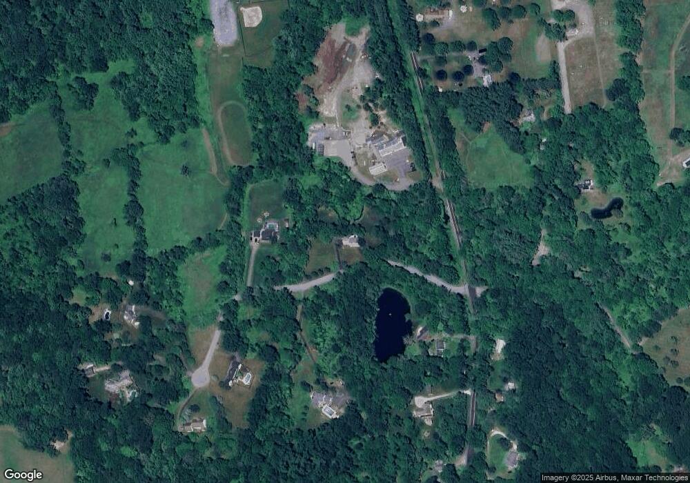
Map
Nearby Homes
- 2 Coburn Road W, She Coburn Rd W
- 7 Ridge Rd
- 6 Brinsmade Ln
- 21 Holiday Point Rd
- 107 Church Rd
- 0 Sherman Rd
- 49 Quaker Ridge Rd
- 77 Squash Hollow Rd
- 12 Shadow Ln
- 9 Tallow Ln
- 0 Candlewood Mountain Rd Unit 24137997
- 0 Candlewood Mountain Rd Unit 24138000
- 0 Candlewood Mountain Rd Unit 24134055
- 18 Fox Run
- 43 Meeting House Rd
- 604 N Quaker Hill Rd
- 00 Anderson Rd
- 8 Ledgewood Dr
- 16 Anderson Rd
- 2 Twin Oaks