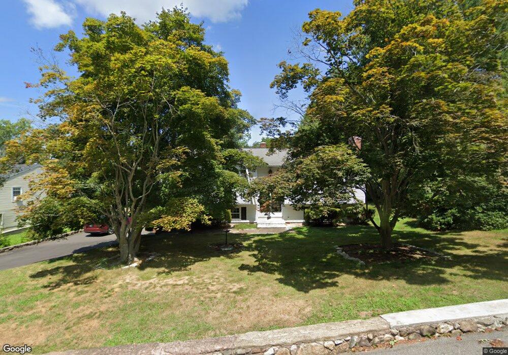
2 Browning Rd East Hampton, CT 06424
Estimated Value: $373,000 - $441,000
3
Beds
2
Baths
1,132
Sq Ft
$366/Sq Ft
Est. Value
About This Home
This home is located at 2 Browning Rd, East Hampton, CT 06424 and is currently estimated at $413,852, approximately $365 per square foot. 2 Browning Rd is a home located in Middlesex County with nearby schools including Memorial School, Center Elementary School, and East Hampton Middle School.
Ownership History
Date
Name
Owned For
Owner Type
Purchase Details
Closed on
Sep 15, 2008
Sold by
Caron Marilyn T
Bought by
Atwater Phillip
Current Estimated Value
Home Financials for this Owner
Home Financials are based on the most recent Mortgage that was taken out on this home.
Original Mortgage
$140,000
Outstanding Balance
$96,307
Interest Rate
7.25%
Mortgage Type
Adjustable Rate Mortgage/ARM
Estimated Equity
$317,545
Create a Home Valuation Report for This Property
The Home Valuation Report is an in-depth analysis detailing your home's value as well as a comparison with similar homes in the area
Home Values in the Area
Average Home Value in this Area
Purchase History
| Date | Buyer | Sale Price | Title Company |
|---|---|---|---|
| Atwater Phillip | $260,000 | -- | |
| Atwater Phillip | $260,000 | -- |
Source: Public Records
Mortgage History
| Date | Status | Borrower | Loan Amount |
|---|---|---|---|
| Open | Atwater Phillip | $140,000 | |
| Closed | Atwater Phillip | $140,000 | |
| Previous Owner | Atwater Phillip | $7,000 | |
| Previous Owner | Atwater Phillip | $16,000 |
Source: Public Records
Tax History
| Year | Tax Paid | Tax Assessment Tax Assessment Total Assessment is a certain percentage of the fair market value that is determined by local assessors to be the total taxable value of land and additions on the property. | Land | Improvement |
|---|---|---|---|---|
| 2025 | $6,474 | $163,030 | $66,790 | $96,240 |
| 2024 | $6,202 | $163,030 | $66,790 | $96,240 |
| 2023 | $5,879 | $163,030 | $66,790 | $96,240 |
| 2022 | $5,651 | $163,030 | $66,790 | $96,240 |
| 2021 | $5,629 | $163,030 | $66,790 | $96,240 |
| 2020 | $4,706 | $142,010 | $46,140 | $95,870 |
| 2019 | $4,893 | $147,660 | $52,050 | $95,610 |
| 2018 | $4,625 | $147,660 | $52,050 | $95,610 |
| 2017 | $4,625 | $147,660 | $52,050 | $95,610 |
| 2016 | $4,347 | $147,660 | $52,050 | $95,610 |
| 2015 | $4,250 | $152,970 | $61,150 | $91,820 |
| 2014 | $3,697 | $152,970 | $61,150 | $91,820 |
Source: Public Records
Map
Nearby Homes
- 141 E High St
- 104 Lake Vista Dr Unit 104
- 0002-3 Edgewater Cir
- 00025 Edgewater Cir
- 0002-6 Edgewater Cir
- 0002-7 Edgewater Cir
- 00023 Edgewater Cir
- 0002-5 Edgewater Cir
- 00026 Edgewater Cir
- 5 Seminole Trail
- 130 Bear Swamp Rd
- 43 E High St
- 24 N Main St
- 18 Lake Blvd
- 15 Waterview Cir
- 12 Hale Rd
- 14 Lakewood Rd
- 30 Barbara Ave
- 3 Quinn Rd
- 13 Lakewood Rd
- 10 Browning Rd
- 2 Whittier Rd
- 150 E High St
- 00 Edgewater Hill Lilac
- 00 Edgewater Hill Cypress
- 00 Edgewater Hill Ivy Cottage
- 00 Edgewater Hill- Azalea
- oo Edgewater Hill Ivy
- 00 Edgewater Hill- Fairview
- 00 Edgewaterhill- Oak Hill
- 00 Edgewater Hill- Highgate
- 00 Edgewater Hill- Parkfield
- 00 Edgewater Hill- Allington
- 00 Edgewater Hill- Stoney Point
- 00 Edgewater Hill- Camden
- 00 Edgewater Hill- Ridgeview St
- 00 Edgewater Hill- Sandhurst
- 00 Edgewater Hill Huntington
- 00 Edgewater Hill Hillcrest
- 00 Edgewater Hill- Brinsley
Your Personal Tour Guide
Ask me questions while you tour the home.