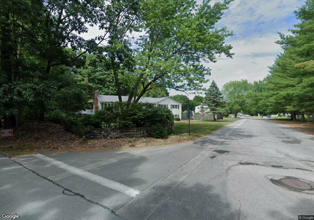
2 Cannongate Rd Tyngsboro, MA 01879
Estimated Value: $760,027 - $809,000
4
Beds
3
Baths
2,502
Sq Ft
$315/Sq Ft
Est. Value
About This Home
This home is located at 2 Cannongate Rd, Tyngsboro, MA 01879 and is currently estimated at $787,757, approximately $314 per square foot. 2 Cannongate Rd is a home located in Middlesex County with nearby schools including Tyngsborough Elementary School, Tyngsborough Middle School, and Innovation Academy Charter School.
Ownership History
Date
Name
Owned For
Owner Type
Purchase Details
Closed on
Apr 3, 2023
Sold by
Hamann Jacques and Hamann Constance B
Bought by
Hamann
Current Estimated Value
Purchase Details
Closed on
Aug 23, 1979
Bought by
Hamann Jacques and Hamann Constance B
Create a Home Valuation Report for This Property
The Home Valuation Report is an in-depth analysis detailing your home's value as well as a comparison with similar homes in the area
Home Values in the Area
Average Home Value in this Area
Purchase History
| Date | Buyer | Sale Price | Title Company |
|---|---|---|---|
| Hamann | -- | None Available | |
| Hamann Jacques | $57,800 | -- |
Source: Public Records
Tax History Compared to Growth
Tax History
| Year | Tax Paid | Tax Assessment Tax Assessment Total Assessment is a certain percentage of the fair market value that is determined by local assessors to be the total taxable value of land and additions on the property. | Land | Improvement |
|---|---|---|---|---|
| 2025 | $81 | $652,600 | $244,600 | $408,000 |
| 2024 | $7,898 | $620,900 | $238,600 | $382,300 |
| 2023 | $7,469 | $528,200 | $198,500 | $329,700 |
| 2022 | $7,167 | $479,700 | $172,400 | $307,300 |
| 2021 | $7,082 | $440,700 | $156,400 | $284,300 |
| 2020 | $6,768 | $416,500 | $148,400 | $268,100 |
| 2019 | $6,973 | $385,300 | $140,400 | $244,900 |
| 2018 | $6,467 | $372,200 | $140,400 | $231,800 |
| 2017 | $2,258 | $354,300 | $140,400 | $213,900 |
| 2016 | $5,886 | $335,200 | $140,400 | $194,800 |
| 2015 | $5,385 | $317,500 | $122,700 | $194,800 |
Source: Public Records
Map
Nearby Homes
- 454 Dunstable Rd
- 7 Axletree Rd
- 45 Red Gate Rd
- 160 Westford Rd
- 0 Dunstable Rd
- 10 Dickens Ln
- 0 Lowell St
- 14 Centercrest Dr Unit 14
- 76 Russells Way
- 24 Old Tyng Rd
- 46 Pawtucket Blvd Unit 37
- 23 Morrison Ln
- 19 Sandstone Rd
- 20 Highland Rd
- 15 Stone Ridge Rd
- 22 Highland Rd
- 20 Merrimac Way Unit 20E
- 45 Riley Rd Unit 45
- 11 Old Hickory Rd
- 56 Frost Rd
- 3 Cannongate Rd
- 457 Dunstable Rd
- 4 Cannongate Rd
- 458 Dunstable Rd
- 456 Dunstable Rd
- 465 Dunstable Rd
- 462 Dunstable Rd
- 453 Dunstable Rd
- 6 Cannongate Rd
- 6 Cannongate Rd Unit 6
- 5 Cannongate Rd
- 5 Cannongate Rd Unit 5
- 0 Redgate Road Lot 1 Unit 50345368
- 468 Dunstable Rd
- 450 Dunstable Rd
- 452 Dunstable Rd
- 451 Dunstable Rd
- 7 Cannongate Rd
- 8 Cannongate Rd
- 46 Red Gate Rd