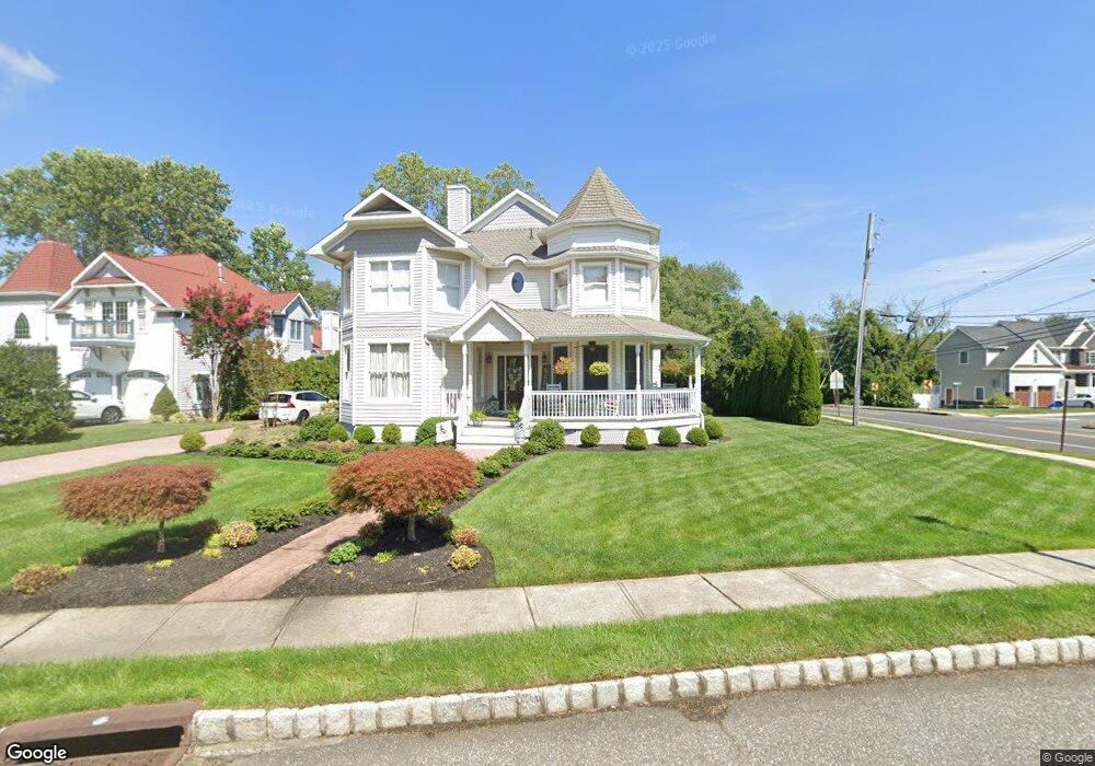
2 Captain Bailey Ct Brielle, NJ 08730
Estimated Value: $1,728,000 - $2,107,213
4
Beds
4
Baths
3,411
Sq Ft
$565/Sq Ft
Est. Value
About This Home
This home is located at 2 Captain Bailey Ct, Brielle, NJ 08730 and is currently estimated at $1,928,553, approximately $565 per square foot. 2 Captain Bailey Ct is a home located in Monmouth County with nearby schools including Brielle Elementary School.
Ownership History
Date
Name
Owned For
Owner Type
Purchase Details
Closed on
Jul 12, 2002
Sold by
Waterford Properties Inc
Bought by
Depetro Robert
Current Estimated Value
Home Financials for this Owner
Home Financials are based on the most recent Mortgage that was taken out on this home.
Original Mortgage
$452,000
Outstanding Balance
$190,252
Interest Rate
6.61%
Estimated Equity
$1,738,301
Create a Home Valuation Report for This Property
The Home Valuation Report is an in-depth analysis detailing your home's value as well as a comparison with similar homes in the area
Home Values in the Area
Average Home Value in this Area
Purchase History
| Date | Buyer | Sale Price | Title Company |
|---|---|---|---|
| Depetro Robert | $565,000 | -- |
Source: Public Records
Mortgage History
| Date | Status | Borrower | Loan Amount |
|---|---|---|---|
| Open | Depetro Robert | $452,000 |
Source: Public Records
Tax History Compared to Growth
Tax History
| Year | Tax Paid | Tax Assessment Tax Assessment Total Assessment is a certain percentage of the fair market value that is determined by local assessors to be the total taxable value of land and additions on the property. | Land | Improvement |
|---|---|---|---|---|
| 2025 | $18,858 | $1,585,100 | $770,300 | $814,800 |
| 2024 | $15,708 | $1,519,600 | $723,300 | $796,300 |
| 2023 | $15,708 | $1,222,400 | $444,700 | $777,700 |
| 2022 | $15,287 | $1,112,700 | $393,800 | $718,900 |
| 2021 | $15,287 | $997,200 | $357,800 | $639,400 |
| 2020 | $15,596 | $952,700 | $327,700 | $625,000 |
| 2019 | $15,143 | $938,800 | $317,500 | $621,300 |
| 2018 | $14,951 | $915,000 | $322,600 | $592,400 |
| 2017 | $14,453 | $873,800 | $299,400 | $574,400 |
| 2016 | $14,047 | $850,800 | $291,700 | $559,100 |
| 2015 | $13,136 | $789,900 | $256,100 | $533,800 |
| 2014 | $13,243 | $850,000 | $426,900 | $423,100 |
Source: Public Records
Map
Nearby Homes
- 14 Lebanon Dr
- 308 South St
- 139 Lenape Trail
- 610 Agnes Ave
- 38 Gertrude Place
- 130 Union Ave
- 51-53 Main St
- 11 Pearce Ave
- 323-325 Fisk Ave
- 329 Fisk Ave
- 65 Pearce Ave
- 1215 Church St
- 642 Rankin Rd
- 355 Cedar Ave
- 432 Oval Rd
- 816 Rathjen Rd
- 2253 Wagner Ln
- Kensington Plan at The Monmouth - The Villas 55+
- 806 Riverview Dr
- 394 E Virginia Ave
- 4 Captain Bailey Ct
- 6 Captain Bailey Ct
- 100 South St
- 281 Old Bridge Rd
- 108 South St
- 8 Captain Bailey Ct
- 650 Agnes Ave
- 283 Old Bridge Rd
- 110 South St
- 10 Captain Bailey Ct
- 650 Park Ave
- 10 Sequoia Ct
- 173 South St
- 285 Old Bridge Rd
- 646 Agnes Ave
- 648 Park Ave
- 171 South St
- 643 Agnes Ave
- 8 Sequoia Ct
- 646 Park Ave