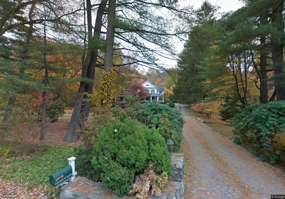
2 Catamount Rd Westport, CT 06880
Coleytown NeighborhoodEstimated Value: $2,304,000 - $3,488,000
4
Beds
7
Baths
6,107
Sq Ft
$481/Sq Ft
Est. Value
About This Home
This home is located at 2 Catamount Rd, Westport, CT 06880 and is currently estimated at $2,937,715, approximately $481 per square foot. 2 Catamount Rd is a home located in Fairfield County with nearby schools including Coleytown Elementary School, Coleytown Middle School, and Staples High School.
Ownership History
Date
Name
Owned For
Owner Type
Purchase Details
Closed on
Dec 12, 2019
Sold by
Wertheim Ram D
Bought by
Lewis Sarit and Lewis Michael
Current Estimated Value
Home Financials for this Owner
Home Financials are based on the most recent Mortgage that was taken out on this home.
Original Mortgage
$600,000
Outstanding Balance
$525,489
Interest Rate
3.7%
Mortgage Type
New Conventional
Estimated Equity
$2,412,226
Purchase Details
Closed on
May 1, 1996
Sold by
Hegenberger Richard and Hegenberger Frances
Bought by
Wertheim Ram and Wertheim Sheri
Create a Home Valuation Report for This Property
The Home Valuation Report is an in-depth analysis detailing your home's value as well as a comparison with similar homes in the area
Home Values in the Area
Average Home Value in this Area
Purchase History
| Date | Buyer | Sale Price | Title Company |
|---|---|---|---|
| Lewis Sarit | -- | None Available | |
| Lewis Sarit | -- | None Available | |
| Wertheim Ram D | -- | None Available | |
| Wertheim Ram D | -- | None Available | |
| Lewis Sarit | -- | None Available | |
| Lewis Sarit | -- | None Available | |
| Wertheim Ram | $725,000 | -- | |
| Wertheim Ram | $725,000 | -- |
Source: Public Records
Mortgage History
| Date | Status | Borrower | Loan Amount |
|---|---|---|---|
| Open | Lewis Sarit | $600,000 | |
| Closed | Lewis Sarit | $600,000 | |
| Previous Owner | Wertheim Ram | $800,000 |
Source: Public Records
Tax History
| Year | Tax Paid | Tax Assessment Tax Assessment Total Assessment is a certain percentage of the fair market value that is determined by local assessors to be the total taxable value of land and additions on the property. | Land | Improvement |
|---|---|---|---|---|
| 2025 | $24,414 | $1,294,500 | $600,700 | $693,800 |
| 2024 | $24,104 | $1,294,500 | $600,700 | $693,800 |
| 2023 | $23,754 | $1,294,500 | $600,700 | $693,800 |
| 2022 | $23,392 | $1,294,500 | $600,700 | $693,800 |
| 2021 | $23,392 | $1,294,500 | $600,700 | $693,800 |
| 2020 | $23,828 | $1,426,000 | $616,300 | $809,700 |
| 2019 | $24,042 | $1,426,000 | $616,300 | $809,700 |
| 2018 | $24,042 | $1,426,000 | $616,300 | $809,700 |
| 2017 | $24,042 | $1,426,000 | $616,300 | $809,700 |
| 2016 | $24,042 | $1,426,000 | $616,300 | $809,700 |
| 2015 | $26,518 | $1,465,900 | $587,600 | $878,300 |
| 2014 | $26,298 | $1,465,900 | $587,600 | $878,300 |
Source: Public Records
Map
Nearby Homes
- 319 Bayberry Ln
- 1 Greenlea Ln
- 9 Greenbrier Rd
- 212 Fence Row Dr
- 282 North Ave
- 88 Merry Meet Cir
- 278 North Ave
- 6 Nutcracker Ln
- 136 Lyons Plain Rd
- 1375 Westport Turnpike
- 158 Coventry Ln
- 13 Rockyfield Rd
- 24 Warnock Dr
- 180 Catamount Rd
- 21 Warnock Dr
- 2 Rockyfield Rd
- 11 Judges Hollow Rd
- 4 Good Hill Rd
- 85-95 Old Easton Turnpike
- 200 Long Meadow Rd
- 140 Easton Rd
- 4 Woods End Ln
- 6 Woods End Ln
- 142 Westport Turnpike
- 8 Woods End Ln
- 142 Easton Rd
- 143 Easton Rd
- 8 Catamount Rd
- 9 Woods End Ln
- 147 Easton Rd
- 7 Bayberry Rdg Rd
- 5 Bayberry Rdg Rd
- 135 Easton Rd
- 13 Catamount Rd
- 7 Bayberry Ridge Rd
- 150 Easton Rd
- 275 Sturges Hwy
- 9 Bayberry Rdg Rd
- 273 Sturges Hwy
- 153 Easton Rd
Your Personal Tour Guide
Ask me questions while you tour the home.