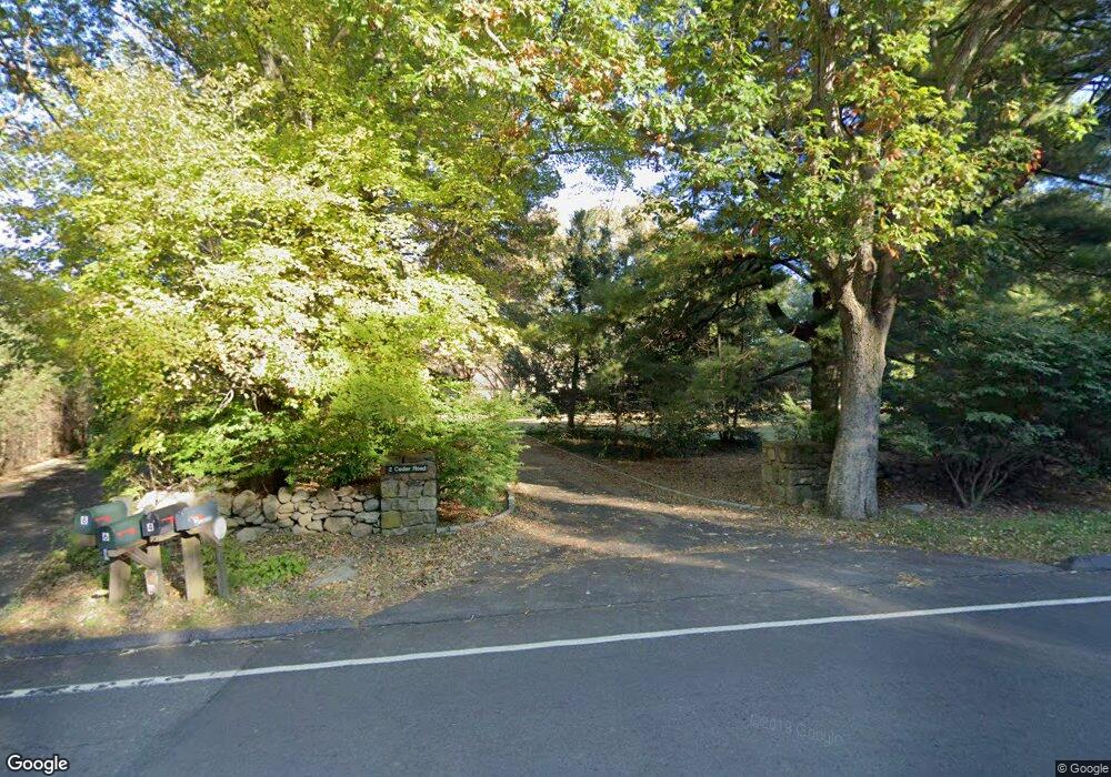
2 Cedar Rd Wilton, CT 06897
Estimated Value: $1,137,000 - $1,591,000
4
Beds
5
Baths
3,684
Sq Ft
$389/Sq Ft
Est. Value
About This Home
This home is located at 2 Cedar Rd, Wilton, CT 06897 and is currently estimated at $1,432,533, approximately $388 per square foot. 2 Cedar Rd is a home located in Fairfield County with nearby schools including Miller-Driscoll School, Cider Mill School, and Middlebrook School.
Ownership History
Date
Name
Owned For
Owner Type
Purchase Details
Closed on
Jan 30, 2020
Sold by
Edward H Concannon Irt
Bought by
Concannon Catherine M
Current Estimated Value
Purchase Details
Closed on
May 30, 1991
Sold by
Mccabe Patricia and Mccabe Eugene F
Bought by
Concannon Catherine and Concannon Edward
Home Financials for this Owner
Home Financials are based on the most recent Mortgage that was taken out on this home.
Original Mortgage
$100,000
Interest Rate
9.35%
Mortgage Type
Unknown
Create a Home Valuation Report for This Property
The Home Valuation Report is an in-depth analysis detailing your home's value as well as a comparison with similar homes in the area
Home Values in the Area
Average Home Value in this Area
Purchase History
| Date | Buyer | Sale Price | Title Company |
|---|---|---|---|
| Concannon Catherine M | -- | None Available | |
| Concannon Catherine | $416,667 | -- |
Source: Public Records
Mortgage History
| Date | Status | Borrower | Loan Amount |
|---|---|---|---|
| Previous Owner | Concannon Catherine | $92,620 | |
| Previous Owner | Concannon Catherine | $100,000 |
Source: Public Records
Tax History
| Year | Tax Paid | Tax Assessment Tax Assessment Total Assessment is a certain percentage of the fair market value that is determined by local assessors to be the total taxable value of land and additions on the property. | Land | Improvement |
|---|---|---|---|---|
| 2025 | $19,527 | $799,960 | $300,020 | $499,940 |
| 2024 | $19,151 | $799,960 | $300,020 | $499,940 |
| 2023 | $20,195 | $690,200 | $278,110 | $412,090 |
| 2022 | $19,484 | $690,200 | $278,110 | $412,090 |
| 2021 | $19,236 | $690,200 | $278,110 | $412,090 |
| 2020 | $18,953 | $690,200 | $278,110 | $412,090 |
| 2019 | $19,698 | $690,200 | $278,110 | $412,090 |
| 2018 | $20,041 | $710,920 | $292,740 | $418,180 |
| 2017 | $19,742 | $710,920 | $292,740 | $418,180 |
| 2016 | $19,437 | $710,920 | $292,740 | $418,180 |
| 2015 | $19,074 | $710,920 | $292,740 | $418,180 |
| 2014 | $18,846 | $710,920 | $292,740 | $418,180 |
Source: Public Records
Map
Nearby Homes
- 76 Sturges Ridge Rd
- 25 Cherry Ln
- 93 E Meadow Rd
- 35 Joanne Ln
- 126 Heather Ln
- 6 Downe Ln
- 41 Calvin Rd
- 3 Deerfield Rd
- 25 Powder Horn Hill Rd
- 128 Grumman Hill Rd
- 381 Chestnut Hill Rd
- 4 Good Hill Rd
- 85 Glen Side Unit 85
- 30 Freshwater Ln
- 84 Wilton Crest Rd Unit 84
- 2 Village Ct Unit 2
- 20 Arrowhead Rd
- 25 Hermit Ln
- 25 Arrowhead Rd
- 15 River Rd Unit STE 210
- 8 Cedar Rd
- 312 Chestnut Hill Rd
- 308 Chestnut Hill Rd
- 302 Chestnut Hill Rd
- 2 Topfield Rd
- 2 Topfield Rd
- 306 Chestnut Hill Rd
- 24 Cedar Rd
- 6 Cedar Rd
- 23 Cedar Rd
- 295 Chestnut Hill Rd
- 5 Topfield Rd
- 341 Chestnut Hill Rd
- 296 Chestnut Hill Rd
- 310 Chestnut Hill Rd
- 10 Topfield Rd
- 68 Cedar Rd
- 282 Chestnut Hill Rd
- 32 Cedar Rd
- 294 Chestnut Hill Rd
Your Personal Tour Guide
Ask me questions while you tour the home.