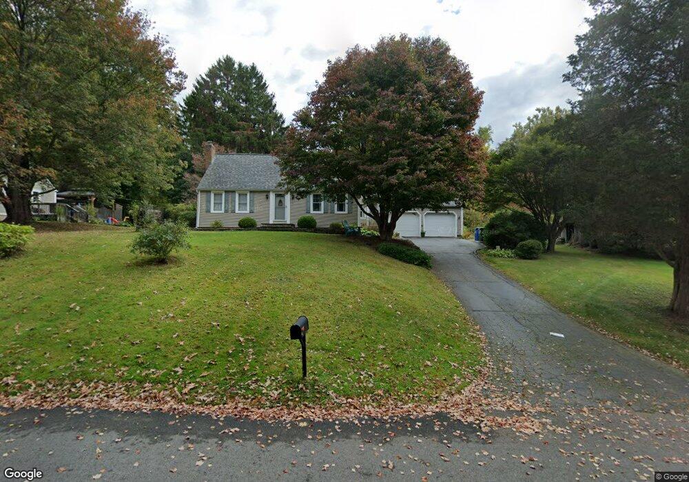
2 Cedar Ridge Rd East Hampton, CT 06424
Estimated Value: $314,406 - $396,000
4
Beds
1
Bath
1,407
Sq Ft
$260/Sq Ft
Est. Value
About This Home
This home is located at 2 Cedar Ridge Rd, East Hampton, CT 06424 and is currently estimated at $365,352, approximately $259 per square foot. 2 Cedar Ridge Rd is a home located in Middlesex County with nearby schools including Memorial School, Center Elementary School, and East Hampton Middle School.
Ownership History
Date
Name
Owned For
Owner Type
Purchase Details
Closed on
Nov 16, 2022
Sold by
Kissinger Cheryl H
Bought by
Cheryl H Kissinger Lt
Current Estimated Value
Purchase Details
Closed on
Oct 11, 2022
Sold by
Haines Karen S and Kissinger Cheryl H
Bought by
Kissinger Cheryl H
Purchase Details
Closed on
Mar 21, 2016
Sold by
Haines Dorothy C
Bought by
Kissinger Cheryl H and Haines Karen S
Create a Home Valuation Report for This Property
The Home Valuation Report is an in-depth analysis detailing your home's value as well as a comparison with similar homes in the area
Home Values in the Area
Average Home Value in this Area
Purchase History
| Date | Buyer | Sale Price | Title Company |
|---|---|---|---|
| Cheryl H Kissinger Lt | -- | None Available | |
| Cheryl H Kissinger Lt | -- | None Available | |
| Kissinger Cheryl H | -- | None Available | |
| Kissinger Cheryl H | -- | None Available | |
| Kissinger Cheryl H | -- | -- | |
| Kissinger Cheryl H | -- | -- |
Source: Public Records
Tax History
| Year | Tax Paid | Tax Assessment Tax Assessment Total Assessment is a certain percentage of the fair market value that is determined by local assessors to be the total taxable value of land and additions on the property. | Land | Improvement |
|---|---|---|---|---|
| 2025 | $5,398 | $135,930 | $36,540 | $99,390 |
| 2024 | $5,171 | $135,930 | $36,540 | $99,390 |
| 2023 | $4,902 | $135,930 | $36,540 | $99,390 |
| 2022 | $4,711 | $135,930 | $36,540 | $99,390 |
| 2021 | $4,694 | $135,930 | $36,540 | $99,390 |
| 2020 | $4,561 | $137,620 | $35,900 | $101,720 |
| 2019 | $4,764 | $143,760 | $38,470 | $105,290 |
| 2018 | $4,503 | $143,760 | $38,470 | $105,290 |
| 2017 | $4,503 | $143,760 | $38,470 | $105,290 |
| 2016 | $4,232 | $143,760 | $38,470 | $105,290 |
| 2015 | $4,123 | $148,400 | $49,020 | $99,380 |
| 2014 | $3,587 | $148,400 | $49,020 | $99,380 |
Source: Public Records
Map
Nearby Homes
- 27 Edgerton St
- 68 Colchester Ave
- 29 Watrous St
- 4 Watrous St
- 1 Watrous St
- 1 Young St
- 14 Main St
- 43 E High St
- 24 N Main St
- 91 Flatbrook Rd Unit 91
- 104 Lake Vista Dr Unit 104
- 0002-5 Edgewater Cir
- 0002-7 Edgewater Cir
- 0002-6 Edgewater Cir
- 00023 Edgewater Cir
- 0002-3 Edgewater Cir
- 00026 Edgewater Cir
- 00025 Edgewater Cir
- 95 Tarragon Dr
- 141 E High St
- 27 Colchester Ave
- 4 Cedar Ridge Rd
- 0 Cedar Ridge Rd Unit 170074518
- 0 Cedar Ridge Rd Unit G10118091
- 0 Cedar Ridge Rd Unit G10178414
- 0 Cedar Ridge Rd Unit 170199662
- 0 Cedar Ridge Rd Unit 170137401
- 1 Cedar Ridge Rd
- 6 Cedar Ridge Rd
- 28 Colchester Ave
- 26 Colchester Ave
- 31 Colchester Ave
- 8 Cedar Ridge Rd
- 21 Colchester Ave
- 22 Colchester Ave
- 30 Colchester Ave
- 9 Cedar Ridge Rd
- 10 Cedar Ridge Rd
- 20 Colchester Ave
- 33 Colchester Ave
Your Personal Tour Guide
Ask me questions while you tour the home.