2 Center St Newton, NJ 07860
Estimated Value: $70,683
--
Bed
--
Bath
--
Sq Ft
0.58
Acres
About This Home
This home is located at 2 Center St, Newton, NJ 07860 and is currently estimated at $70,683. 2 Center St is a home with nearby schools including C.E. Lawrence School, Wantage Elementary School, and Sussex Middle School.
Ownership History
Date
Name
Owned For
Owner Type
Purchase Details
Closed on
Apr 9, 2019
Sold by
Si Family Holdings Sussex Lands Llc
Bought by
Alpine Sussex Holdings Ll C
Current Estimated Value
Home Financials for this Owner
Home Financials are based on the most recent Mortgage that was taken out on this home.
Interest Rate
4.08%
Purchase Details
Closed on
Dec 29, 2017
Sold by
Wilshire Enterprise Inc
Bought by
Si Family Holdings Sussex Lands Llc
Purchase Details
Closed on
Oct 28, 1998
Sold by
Host Building Systems Corp
Bought by
Wilshire Oil Company Of Texas
Create a Home Valuation Report for This Property
The Home Valuation Report is an in-depth analysis detailing your home's value as well as a comparison with similar homes in the area
Home Values in the Area
Average Home Value in this Area
Purchase History
| Date | Buyer | Sale Price | Title Company |
|---|---|---|---|
| Alpine Sussex Holdings Ll C | $25,000 | -- | |
| Si Family Holdings Sussex Lands Llc | $39,000 | Madison Title Agency Llc | |
| Wilshire Oil Company Of Texas | $60,000 | -- |
Source: Public Records
Mortgage History
| Date | Status | Borrower | Loan Amount |
|---|---|---|---|
| Closed | Alpine Sussex Holdings Ll C | -- |
Source: Public Records
Tax History Compared to Growth
Tax History
| Year | Tax Paid | Tax Assessment Tax Assessment Total Assessment is a certain percentage of the fair market value that is determined by local assessors to be the total taxable value of land and additions on the property. | Land | Improvement |
|---|---|---|---|---|
| 2025 | $1,695 | $48,500 | $48,500 | -- |
| 2024 | $1,712 | $48,500 | $48,500 | $0 |
| 2023 | $1,712 | $48,500 | $48,500 | $0 |
| 2022 | $1,656 | $48,500 | $48,500 | $0 |
| 2021 | $1,640 | $48,500 | $48,500 | $0 |
| 2020 | $1,580 | $48,500 | $48,500 | $0 |
| 2019 | $1,563 | $48,500 | $48,500 | $0 |
| 2018 | $1,584 | $48,500 | $48,500 | $0 |
| 2017 | $1,547 | $48,500 | $48,500 | $0 |
| 2016 | $1,540 | $48,500 | $48,500 | $0 |
| 2015 | $1,452 | $48,500 | $48,500 | $0 |
| 2014 | $1,414 | $48,500 | $48,500 | $0 |
Source: Public Records
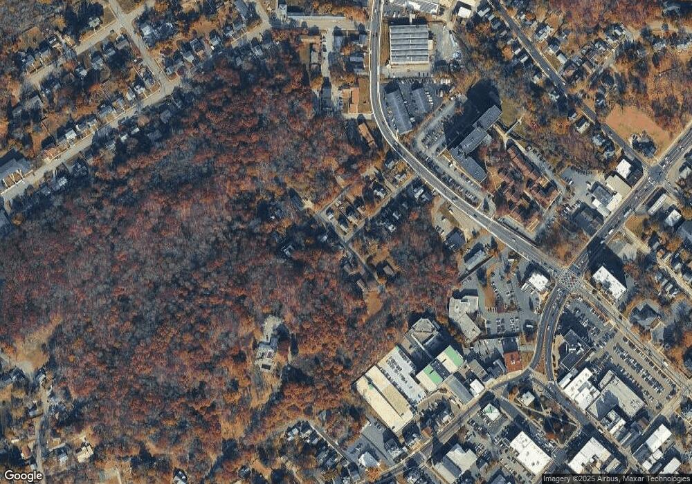
Map
Nearby Homes
- 71 Unionville Ave Unit 2
- 48 Unionville Ave
- 42 Harrison St
- 6 Chestnut St
- 14-16 Church St
- 1 Church St
- 8 Ley Place
- 3 4th St
- 63 Hamburg Ave
- 92 Newton Ave
- 5 Sterling Dr
- 27 Courtland Dr
- 5 Lewisburg Rd
- 14 Sterling Dr
- 52 54 43 Flagstone Hill Rd
- 2 Courtland Dr
- 00 Ryan Rd Rt23
- 14 Sioux Trail
- 2 Tomahawk Trail
- 59 S Shore Dr
- 8 Center St
- 60 Unionville Ave
- 10 Center St
- 70 E Main St
- 79 E Main St
- 12 Center St
- 74 Unionville Ave
- 65 E Main St
- 52 Unionville Ave
- 61 Unionville Ave
- 76 Unionville Ave
- 16 Center St
- 59 Unionville Ave
- 71 Unionville Ave
- 48 Unionville Ave Unit Bb
- 48 Unionville Ave Unit C
- 48 Unionville Ave Unit B
- 48 Unionville Ave Unit A
- 18 Grant St
- 44 Unionville Ave