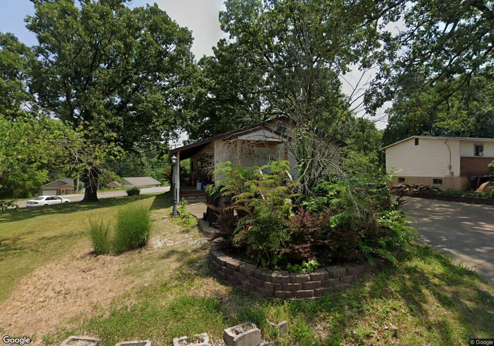
2 Circle Dr Fenton, MO 63026
Estimated Value: $153,216 - $302,000
Studio
1
Bath
1,176
Sq Ft
$192/Sq Ft
Est. Value
About This Home
This home is located at 2 Circle Dr, Fenton, MO 63026 and is currently estimated at $225,554, approximately $191 per square foot. 2 Circle Dr is a home located in Jefferson County with nearby schools including Northwest High School, Messenger Christian School, and Our Savior Lutheran Church & School.
Ownership History
Date
Name
Owned For
Owner Type
Purchase Details
Closed on
Aug 25, 2016
Sold by
Parvin Cynthia L and Gideon Cynthia L
Bought by
Gideon Stephen R
Current Estimated Value
Purchase Details
Closed on
Feb 11, 2003
Sold by
Gideon Stephen R and Gideon Cynthia
Bought by
Gideon Stephen R and Gideon Cynthia
Home Financials for this Owner
Home Financials are based on the most recent Mortgage that was taken out on this home.
Original Mortgage
$100,800
Interest Rate
7.5%
Create a Home Valuation Report for This Property
The Home Valuation Report is an in-depth analysis detailing your home's value as well as a comparison with similar homes in the area
Home Values in the Area
Average Home Value in this Area
Purchase History
| Date | Buyer | Sale Price | Title Company |
|---|---|---|---|
| Gideon Stephen R | -- | None Available | |
| Gideon Stephen R | -- | -- |
Source: Public Records
Mortgage History
| Date | Status | Borrower | Loan Amount |
|---|---|---|---|
| Previous Owner | Gideon Stephen R | $100,800 |
Source: Public Records
Tax History
| Year | Tax Paid | Tax Assessment Tax Assessment Total Assessment is a certain percentage of the fair market value that is determined by local assessors to be the total taxable value of land and additions on the property. | Land | Improvement |
|---|---|---|---|---|
| 2025 | $1,227 | $18,300 | $2,500 | $15,800 |
| 2024 | $1,227 | $17,000 | $2,500 | $14,500 |
| 2023 | $1,227 | $17,000 | $2,500 | $14,500 |
| 2022 | $1,222 | $17,000 | $2,500 | $14,500 |
| 2021 | $1,214 | $17,000 | $2,500 | $14,500 |
| 2020 | $1,112 | $15,200 | $2,100 | $13,100 |
| 2019 | $1,111 | $15,200 | $2,100 | $13,100 |
| 2018 | $1,126 | $15,200 | $2,100 | $13,100 |
| 2017 | $1,029 | $15,200 | $2,100 | $13,100 |
| 2016 | $881 | $12,900 | $1,300 | $11,600 |
| 2015 | $905 | $12,900 | $1,300 | $11,600 |
| 2013 | -- | $12,500 | $1,300 | $11,200 |
Source: Public Records
Map
Nearby Homes
- 91 Poppy Dr Unit 91
- 100 Orchid Dr Unit 100
- 53 Lois Ln
- 26 W Lakewood Dr
- 52 Glenwood Dr
- 800 Mary Lee Ct
- 927 Gravois Rd
- 000 Gravois Summit
- 811 Mary Lee Ct
- 818 Mary Lee Ct
- 711 Mosely Ct
- 819 Horizon Ln
- 831 Oak Dr
- 907 Oak Dr
- 1029 Ginger Root Dr
- 1230 Summit Meadows Dr
- 1519 Winding Meadows Dr
- 1527 Winding Meadows Dr
- 2 Ashford Winding Meadows
- 3 Royal II at Winding Meadows
- 182 Daisy Dr Unit 182
- 41 Pansy Dr Unit 41
- 40 Pansy Dr Unit 40
- 190 Iris Dr Unit 190
- 39 Pansy Dr Unit 39
- 280 Delores Dr
- 38 Pansy Dr Unit 38
- 38 Pansy Dr Unit 38
- 9 Daisy Dr Unit 9
- 177 Daisy Dr Unit 177
- 13 Lily Dr Unit 13
- 25 Circle Dr
- 36 Pansy Dr Unit 36
- 15 Lily Dr Unit 15
- 1005 Clark Dr
- 35 Pansy Dr Unit 35
- 34 Pansy Dr Unit 34
- 31 Lily Dr Unit 31
- 1001 Clark Dr
- 1003 Clark Dr
Your Personal Tour Guide
Ask me questions while you tour the home.