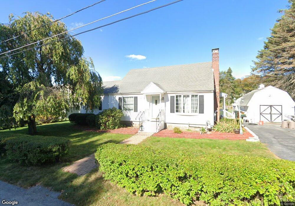
2 Clarendon Rd Auburn, MA 01501
Pakachoag NeighborhoodEstimated Value: $461,773 - $485,000
3
Beds
3
Baths
1,471
Sq Ft
$320/Sq Ft
Est. Value
About This Home
This home is located at 2 Clarendon Rd, Auburn, MA 01501 and is currently estimated at $470,693, approximately $319 per square foot. 2 Clarendon Rd is a home located in Worcester County with nearby schools including Auburn Senior High School and Shrewsbury Montessori School - Auburn Campus.
Ownership History
Date
Name
Owned For
Owner Type
Purchase Details
Closed on
Jan 7, 2016
Sold by
Asselta Ft and Asselta Brian S
Bought by
Asselta Brian S and Asselta Cynthia E
Current Estimated Value
Purchase Details
Closed on
Sep 28, 2010
Sold by
Asselta Michael P and Asselta Laura B
Bought by
Asselta Ft and Asselta Brian S
Purchase Details
Closed on
Oct 13, 1971
Bought by
Asselta Brian S
Create a Home Valuation Report for This Property
The Home Valuation Report is an in-depth analysis detailing your home's value as well as a comparison with similar homes in the area
Home Values in the Area
Average Home Value in this Area
Purchase History
| Date | Buyer | Sale Price | Title Company |
|---|---|---|---|
| Asselta Brian S | -- | -- | |
| Asselta Ft | -- | -- | |
| Asselta Brian S | $24,900 | -- |
Source: Public Records
Tax History
| Year | Tax Paid | Tax Assessment Tax Assessment Total Assessment is a certain percentage of the fair market value that is determined by local assessors to be the total taxable value of land and additions on the property. | Land | Improvement |
|---|---|---|---|---|
| 2025 | $58 | $405,100 | $117,400 | $287,700 |
| 2024 | $5,421 | $363,100 | $113,000 | $250,100 |
| 2023 | $5,355 | $337,200 | $102,800 | $234,400 |
| 2022 | $5,039 | $299,600 | $102,800 | $196,800 |
| 2021 | $2,379 | $260,300 | $90,700 | $169,600 |
| 2020 | $2,358 | $254,400 | $90,700 | $163,700 |
| 2019 | $4,493 | $243,900 | $89,900 | $154,000 |
| 2018 | $4,922 | $230,600 | $84,100 | $146,500 |
| 2017 | $4,016 | $219,000 | $76,300 | $142,700 |
| 2016 | $3,812 | $210,700 | $78,700 | $132,000 |
| 2015 | $3,497 | $202,600 | $78,700 | $123,900 |
| 2014 | $3,263 | $188,700 | $75,000 | $113,700 |
Source: Public Records
Map
Nearby Homes
- 5 Clarendon Rd
- 2902 Forest Park Dr Unit 2902
- 14 Goddard Dr
- 401 Forest Park Dr
- 204-212 Hampton St
- 5 Rice Rd
- 154 Pakachoag St
- 14 Breezy Bend
- 34 Preston Ave
- 88 Shore Dr
- 61 Sumner St
- 25 Vinal St Unit 28
- 25 Vinal St Unit 26
- 25 Vinal St Unit 29
- 25 Vinal St Unit 30
- 33 Eastford Rd
- 113 Washington St Unit 16
- 5 Commonwealth Ave
- 35 Hampton St
- 177 Boyce St
- 4 Clarendon Rd
- 12 Wyoma Dr
- 12 Wyoma Dr Unit 1
- 14 Wyoma Dr
- 10 Wyoma Dr
- 6 Clarendon Rd
- 1 Clarendon Rd
- 3 Clarendon Rd
- 232 Pakachoag St
- 8 Clarendon Rd
- 2 Kimball Rd
- 216 Pakachoag St
- 4 Kimball Rd
- 234 Pakachoag St
- 7 Clarendon Rd
- 10 Clarendon Rd
- 6 Kimball Rd
- 219 Pakachoag St
- 221 Pakachoag St
- 217 Pakachoag St
Your Personal Tour Guide
Ask me questions while you tour the home.