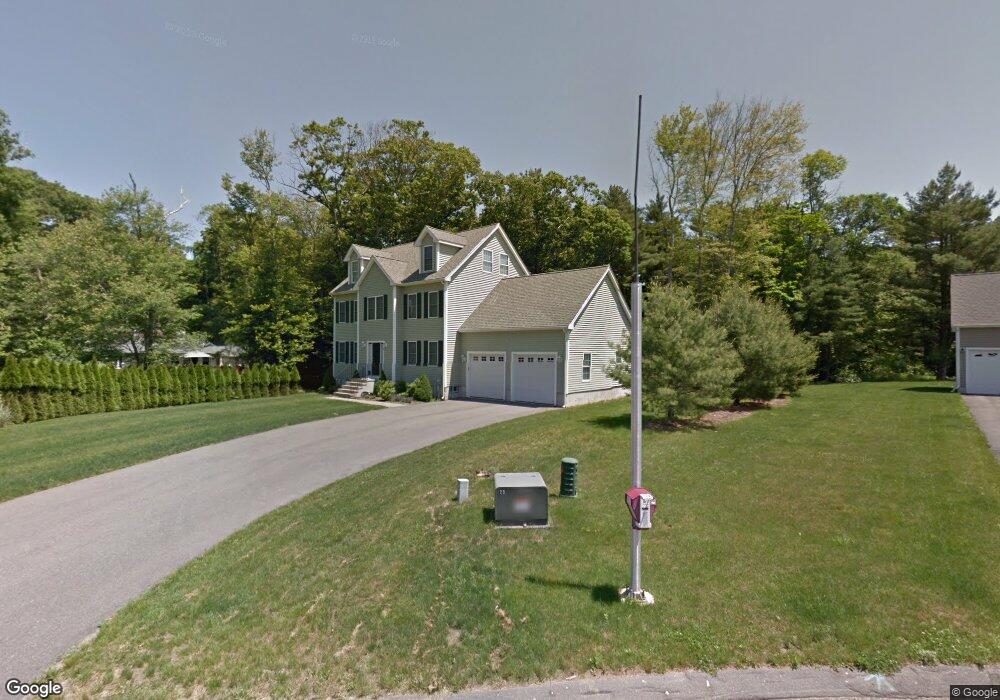
2 Colburn Ln Abington, MA 02351
Estimated Value: $884,457 - $1,092,000
4
Beds
3
Baths
2,389
Sq Ft
$412/Sq Ft
Est. Value
About This Home
This home is located at 2 Colburn Ln, Abington, MA 02351 and is currently estimated at $985,364, approximately $412 per square foot. 2 Colburn Ln is a home located in Plymouth County with nearby schools including Beaver Brook Elementary School, Abington Middle School, and Woodsdale School.
Ownership History
Date
Name
Owned For
Owner Type
Purchase Details
Closed on
Dec 31, 2007
Sold by
Mento John
Bought by
Kostopoulos Mariel
Current Estimated Value
Home Financials for this Owner
Home Financials are based on the most recent Mortgage that was taken out on this home.
Original Mortgage
$376,320
Outstanding Balance
$238,899
Interest Rate
6.27%
Mortgage Type
Purchase Money Mortgage
Estimated Equity
$746,465
Purchase Details
Closed on
Jun 12, 2007
Sold by
Djusberg Carl Erik
Bought by
Mento John
Home Financials for this Owner
Home Financials are based on the most recent Mortgage that was taken out on this home.
Original Mortgage
$432,000
Interest Rate
6.17%
Mortgage Type
Purchase Money Mortgage
Create a Home Valuation Report for This Property
The Home Valuation Report is an in-depth analysis detailing your home's value as well as a comparison with similar homes in the area
Home Values in the Area
Average Home Value in this Area
Purchase History
| Date | Buyer | Sale Price | Title Company |
|---|---|---|---|
| Kostopoulos Mariel | $470,400 | -- | |
| Mento John | $215,000 | -- |
Source: Public Records
Mortgage History
| Date | Status | Borrower | Loan Amount |
|---|---|---|---|
| Open | Mento John | $376,320 | |
| Closed | Mento John | $23,520 | |
| Previous Owner | Mento John | $432,000 |
Source: Public Records
Tax History Compared to Growth
Tax History
| Year | Tax Paid | Tax Assessment Tax Assessment Total Assessment is a certain percentage of the fair market value that is determined by local assessors to be the total taxable value of land and additions on the property. | Land | Improvement |
|---|---|---|---|---|
| 2025 | $10,196 | $780,700 | $289,900 | $490,800 |
| 2024 | $9,955 | $744,000 | $267,200 | $476,800 |
| 2023 | $9,526 | $670,400 | $246,500 | $423,900 |
| 2022 | $9,607 | $631,200 | $212,100 | $419,100 |
| 2021 | $8,898 | $539,900 | $196,800 | $343,100 |
| 2020 | $9,110 | $535,900 | $197,900 | $338,000 |
| 2019 | $9,159 | $526,700 | $191,300 | $335,400 |
| 2018 | $8,723 | $489,500 | $191,300 | $298,200 |
| 2017 | $8,744 | $476,500 | $191,300 | $285,200 |
| 2016 | $8,072 | $450,200 | $177,800 | $272,400 |
| 2015 | $7,482 | $440,100 | $177,800 | $262,300 |
Source: Public Records
Map
Nearby Homes
- 89 Andrew Ford Way
- 133 Andrew Ford Way
- 10 Bank St
- 64 Centre Ave Unit 1
- 37 Rockland St
- 40 Bedford St
- 257 Rockland St Unit 257
- 87 Summer St
- 676 Bedford St
- 1210 Washington St
- 0 Bedford St
- 20 Cleverly St Unit B2
- 116 Hancock St
- 209 Hancock St
- 164 Hancock St
- 158 Central St
- 1353 Washington St
- 28 Sylvan Ct
- 332 Hancock St
- 333 Groveland St
- 2 Colburn Ln
- 1 Colburn Ln
- 9 Colburn Ln
- 258 Colonel Hunt Dr
- 6 Colburn Ln
- 246 Colonel Hunt Dr
- 262 Colonel Hunt Dr
- 10 Colburn Ln
- 236 Colonel Hunt Dr
- 264 Colonel Hunt Dr
- 251 Colonel Hunt Dr
- Lot 3 Colburn Ln
- 235 Colonel Hunt Dr
- 268 Colonel Hunt Dr
- 14 Colburn Ln
- 241 Bedford St
- 254 Bedford St Unit 4
- 272 Bedford St Unit 4
- 272 Bedford St Unit 1
- 272 Bedford St