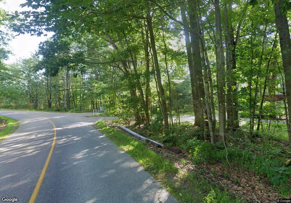
2 Cole Benson Rd Kennebunkport, ME 04046
Estimated Value: $615,385 - $1,467,000
4
Beds
2
Baths
2,148
Sq Ft
$454/Sq Ft
Est. Value
About This Home
This home is located at 2 Cole Benson Rd, Kennebunkport, ME 04046 and is currently estimated at $974,846, approximately $453 per square foot. 2 Cole Benson Rd is a home located in York County with nearby schools including Kennebunk High School and School Around Us.
Create a Home Valuation Report for This Property
The Home Valuation Report is an in-depth analysis detailing your home's value as well as a comparison with similar homes in the area
Home Values in the Area
Average Home Value in this Area
Tax History Compared to Growth
Tax History
| Year | Tax Paid | Tax Assessment Tax Assessment Total Assessment is a certain percentage of the fair market value that is determined by local assessors to be the total taxable value of land and additions on the property. | Land | Improvement |
|---|---|---|---|---|
| 2024 | $2,894 | $445,300 | $153,200 | $292,100 |
| 2023 | $2,783 | $445,300 | $153,200 | $292,100 |
| 2022 | $2,655 | $442,500 | $153,200 | $289,300 |
| 2021 | $2,923 | $304,500 | $93,000 | $211,500 |
| 2020 | $2,878 | $304,500 | $93,000 | $211,500 |
| 2019 | $4,004 | $304,500 | $93,000 | $211,500 |
| 2018 | $3,870 | $304,500 | $93,000 | $211,500 |
| 2017 | $2,649 | $304,500 | $93,000 | $211,500 |
| 2016 | $3,451 | $304,500 | $93,000 | $211,500 |
| 2015 | $2,345 | $304,500 | $93,000 | $211,500 |
| 2014 | $2,323 | $304,500 | $93,000 | $211,500 |
Source: Public Records
Map
Nearby Homes
- 0 Cole-Benson Rd
- 122 Guinea Rd
- 100 Guinea Rd
- 123 Guinea Rd
- 121 Guinea Rd
- 14 Cole Benson Rd
- 108 Guinea Rd
- 128 Guinea Rd
- 135 Guinea Rd
- 17 Cole Benson Rd
- 15 Cole Benson Rd
- 94 Guinea Rd
- 139 Whitten Hill Rd
- 88 Guinea Rd
- 134 Guinea Rd
- 136 Whitten Hill Rd
- 136 Guinea Rd
- 19 Blueberry Ln
- 2 Beacon Ave
- 84 Guinea Rd
