2 Concord Greene Unit 5 Concord, MA 01742
Estimated Value: $492,142 - $600,000
1
Bed
1
Bath
978
Sq Ft
$549/Sq Ft
Est. Value
About This Home
This home is located at 2 Concord Greene Unit 5, Concord, MA 01742 and is currently estimated at $537,036, approximately $549 per square foot. 2 Concord Greene Unit 5 is a home located in Middlesex County with nearby schools including Willard School, Concord Middle School, and Concord Carlisle High School.
Ownership History
Date
Name
Owned For
Owner Type
Purchase Details
Closed on
Jan 18, 2013
Sold by
Higgins Irt
Bought by
Betts Petra A
Current Estimated Value
Purchase Details
Closed on
Apr 9, 2010
Sold by
Higgins Stephen T and Higgins Douglas B
Bought by
Higgins Irt and Higgins Douglas B
Purchase Details
Closed on
Jul 13, 2004
Sold by
Est Thursby Barbara A and Thursby Robert B
Bought by
Higgins Jacquelyn T
Purchase Details
Closed on
Oct 18, 2001
Sold by
Est Newbold Susan C and Rovelli Wendy
Bought by
Thursby Barbara A
Home Financials for this Owner
Home Financials are based on the most recent Mortgage that was taken out on this home.
Original Mortgage
$212,000
Interest Rate
6.92%
Mortgage Type
Purchase Money Mortgage
Create a Home Valuation Report for This Property
The Home Valuation Report is an in-depth analysis detailing your home's value as well as a comparison with similar homes in the area
Home Values in the Area
Average Home Value in this Area
Purchase History
| Date | Buyer | Sale Price | Title Company |
|---|---|---|---|
| Betts Petra A | $225,000 | -- | |
| Higgins Irt | -- | -- | |
| Higgins Jacquelyn T | $320,000 | -- | |
| Thursby Barbara A | $265,000 | -- |
Source: Public Records
Mortgage History
| Date | Status | Borrower | Loan Amount |
|---|---|---|---|
| Previous Owner | Thursby Barbara A | $212,000 |
Source: Public Records
Tax History Compared to Growth
Tax History
| Year | Tax Paid | Tax Assessment Tax Assessment Total Assessment is a certain percentage of the fair market value that is determined by local assessors to be the total taxable value of land and additions on the property. | Land | Improvement |
|---|---|---|---|---|
| 2025 | $57 | $433,300 | $0 | $433,300 |
| 2024 | $5,517 | $420,200 | $0 | $420,200 |
| 2023 | $4,942 | $381,300 | $0 | $381,300 |
| 2022 | $4,912 | $332,800 | $0 | $332,800 |
| 2021 | $4,828 | $328,000 | $0 | $328,000 |
| 2020 | $4,667 | $328,000 | $0 | $328,000 |
| 2019 | $4,407 | $310,600 | $0 | $310,600 |
| 2018 | $4,070 | $284,800 | $0 | $284,800 |
| 2017 | $4,128 | $293,400 | $0 | $293,400 |
| 2016 | $3,697 | $265,600 | $0 | $265,600 |
| 2015 | $3,195 | $223,600 | $0 | $223,600 |
Source: Public Records
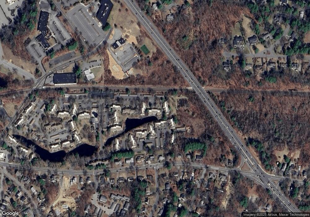
Map
Nearby Homes
- 29 Concord Greene Unit 2
- 24 Concord Greene Unit 7
- 16 Concord Greene Unit 5
- 1053 Main St
- 23 Concord Greene Unit 4
- 138 Baker Ave
- 213 Nashoba Rd
- 488 Elm St
- 38 McCallar Ln
- 12 S Meadow Ridge Unit 12
- 12 S Meadow Ridge
- 27 Pine St
- 602 Main St
- 111 Central St
- 114 Upland Rd
- 79-81 Assabet Ave
- 46 Wood St
- 54 Maple St
- 295 Musterfield Rd
- 102 Highland St
- 2 Concord Greene Unit 8
- 2 Concord Greene Unit 7
- 2 Concord Greene Unit 6
- 2 Concord Greene Unit 4
- 2 Concord Greene Unit 3
- 2 Concord Greene
- 2 Concord Greene Unit 1
- 2 Concord Greene Unit 5 2
- 2 Concord Greene Unit 1
- 2 Concord Greene Unit 4
- 2 Concord Greene Unit 8
- 2 Concord Greene Unit 3
- 2 Concord Greene Unit 8
- 3 Concord Greene Unit 8
- 3 Concord Greene Unit 7
- 3 Concord Greene Unit 6
- 3 Concord Greene Unit 5
- 3 Concord Greene Unit 4
- 3 Concord Greene
- 3 Concord Greene Unit 2