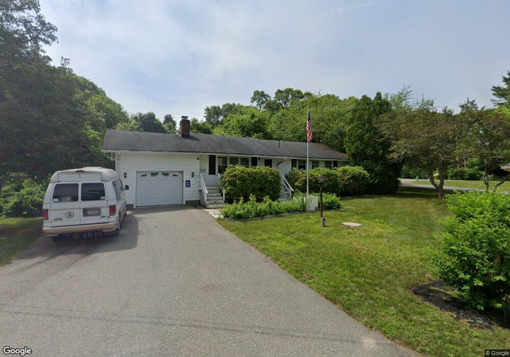
2 Cote Cir Bourne, MA 02532
Buzzards Bay NeighborhoodEstimated Value: $519,752 - $586,000
3
Beds
3
Baths
1,056
Sq Ft
$520/Sq Ft
Est. Value
About This Home
This home is located at 2 Cote Cir, Bourne, MA 02532 and is currently estimated at $548,688, approximately $519 per square foot. 2 Cote Cir is a home located in Barnstable County with nearby schools including Bourne High School and St Margaret Regional School.
Create a Home Valuation Report for This Property
The Home Valuation Report is an in-depth analysis detailing your home's value as well as a comparison with similar homes in the area
Home Values in the Area
Average Home Value in this Area
Tax History
| Year | Tax Paid | Tax Assessment Tax Assessment Total Assessment is a certain percentage of the fair market value that is determined by local assessors to be the total taxable value of land and additions on the property. | Land | Improvement |
|---|---|---|---|---|
| 2025 | $3,746 | $479,600 | $184,900 | $294,700 |
| 2024 | $3,663 | $456,700 | $176,100 | $280,600 |
| 2023 | $3,560 | $404,100 | $155,800 | $248,300 |
| 2022 | $3,170 | $314,200 | $137,900 | $176,300 |
| 2021 | $1,731 | $285,900 | $125,500 | $160,400 |
| 2020 | $2,975 | $277,000 | $124,300 | $152,700 |
| 2019 | $2,821 | $268,400 | $124,300 | $144,100 |
| 2018 | $2,577 | $244,500 | $112,500 | $132,000 |
| 2017 | $0 | $242,100 | $111,400 | $130,700 |
| 2016 | $2,278 | $224,200 | $99,700 | $124,500 |
| 2015 | $2,258 | $224,200 | $99,700 | $124,500 |
Source: Public Records
Map
Nearby Homes
- 58 Maple St
- 23 Alderberry Rd
- 304 Main St
- 810 Head of The Bay Rd
- 9 Hideaway Rd Unit F
- 13 Hideaway Village Unit G
- 38 Old Bridge Rd
- 46 Holt Rd Unit B
- 46 Holt Rd
- 6 Honora Ct
- 3 Honora Ln Unit 3
- 40-A Lafayette Ave
- 4 Van Bummel Rd
- 60 Sandwich Rd
- 11 Buzzards Bay Dr
- 29 Walnut St
- 44 Cotuit Rd
- 10 Sandy Ln
- 24 Heather Hill Rd
- 60 Bourne Neck Dr
- 4 Cote Cir
- 14 Little Bay Ln
- 14 Little Bay Ln
- 2 Fabyan Way
- 2 Fabyan Way
- 8 Little Bay Ln
- 8 Little Bay Ln
- 3 Cote Cir
- 18 Little Bay Ln
- 18 Little Bay Ln
- 7 Cote Cir
- 7 Cote Cir
- 9 Little Bay Ln
- 9 Little Bay Ln
- 9 Little Bay Ln Unit n/a
- 4 Fabyan Way
- 4 Fabyan Way
- 11 Little Bay Ln
- 11 Little Bay Ln
- 11 Little Bay Ln
Your Personal Tour Guide
Ask me questions while you tour the home.